
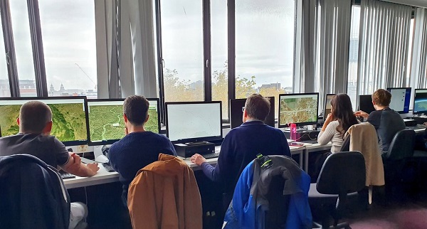
Earlier this month the Society of Archaeology, Classics and Egyptology ran a GIS (Geographic Information System) workshop in partnership with the ArcGIS team from Esri, teaching students and staff the basics of the software and how it can be applied to their own research.
The session started with Katie and Jason from Esri assisting students to get familiar with the platform, creating their own maps with site points and measuring the area and distance of features in these regions. It was discovered that the base of Mount Vesuvius is in fact 10km wide, and if it was placed over Liverpool it would reach from the Mersey River all the way to Knowsley!
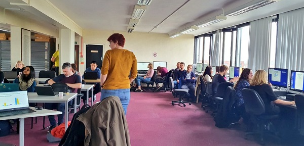
The session then progressed to looking at the story maps feature on ArcGIS which allows users to storyboard different locations or sites that are being incorporated into their research in an interactive and fun format. Students were sent all across the local area to use surveying technology to plot a point on their phones to add to the ‘Liverpool Heritage’ map back at headquarters in the Geographical Information Centre on campus. Results included a rare Edward VIII post box and Ian McKellen’s infamous jacket potato spot in the Guild.
The session ended with everyone creating their own surveys which could be used to retrieve data for GIS plotting, a skill which is highly useful in many research contexts. The information from these surveys can be sent over remotely from sites that students may not have access to, as well as sorting this information into useful formats to present to wider audiences.
SACE are hoping to set up another GIS workshop in semester 2 — keep an eye out for more information in future.
ArcGIS is free to download for all University of Liverpool students and staff, being accessed through the university’s CSD platform.