Transforming humanitarian responses to disasters through geographic data science
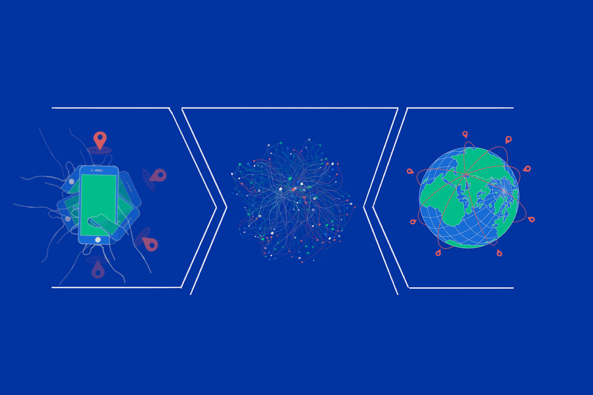
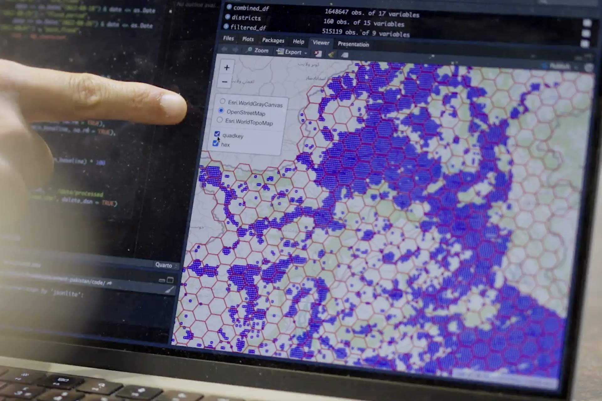
Our research at the University of Liverpool is pioneering new ways to understand population movement during disasters. By integrating traditional data sources with digital trace data - such as mobile phone GPS and social media activity - we deliver timely, spatially detailed insights to improve humanitarian responses to wars, pandemics, and climate-induced natural hazards.
This work is led by Dr Elisabetta Pietrostefani and Professor Francisco Rowe from the School of Environmental Sciences, in collaboration with the International Organization for Migration’s Displacement Tracking Matrix (DTM).
Transforming humanitarian responses to disasters through geographic data science
Dr Elisabetta Pietrostefani and Professor Francisco Rowe explain how they have been working in partnership to explore new, innovative ways to use GPS data to more accurately monitor the displacement of people to better inform humanitarian responses to disasters around the world.


