Research
I research.....
• Past glaciations by modelling geomorphological time series and using the glacial geology and geomorphology.
• Pace and dynamics of the British-Irish Ice Sheet (BIIS) during marginal retreat >34,000 years ago to form the basis for robust testing of glaciological models.
• Testing links between environment and human decision making at the first sedentary site in the Near East, The Unfamiliar Landscapes Project.
• Variations in mineral and sediment calibre supply to lakes to build millennial duration records of flood history.
• Catchment and basin (lake or reservoir) responses to extreme events - wildfires, floods etc.
• Geochemical records from lakes and wetlands to understand nutrient dynamics, ecosystem functioning and responses to land cover change.

Carbon dynamics in terrestrial ecosystems, e.g. peatlands and lakes.
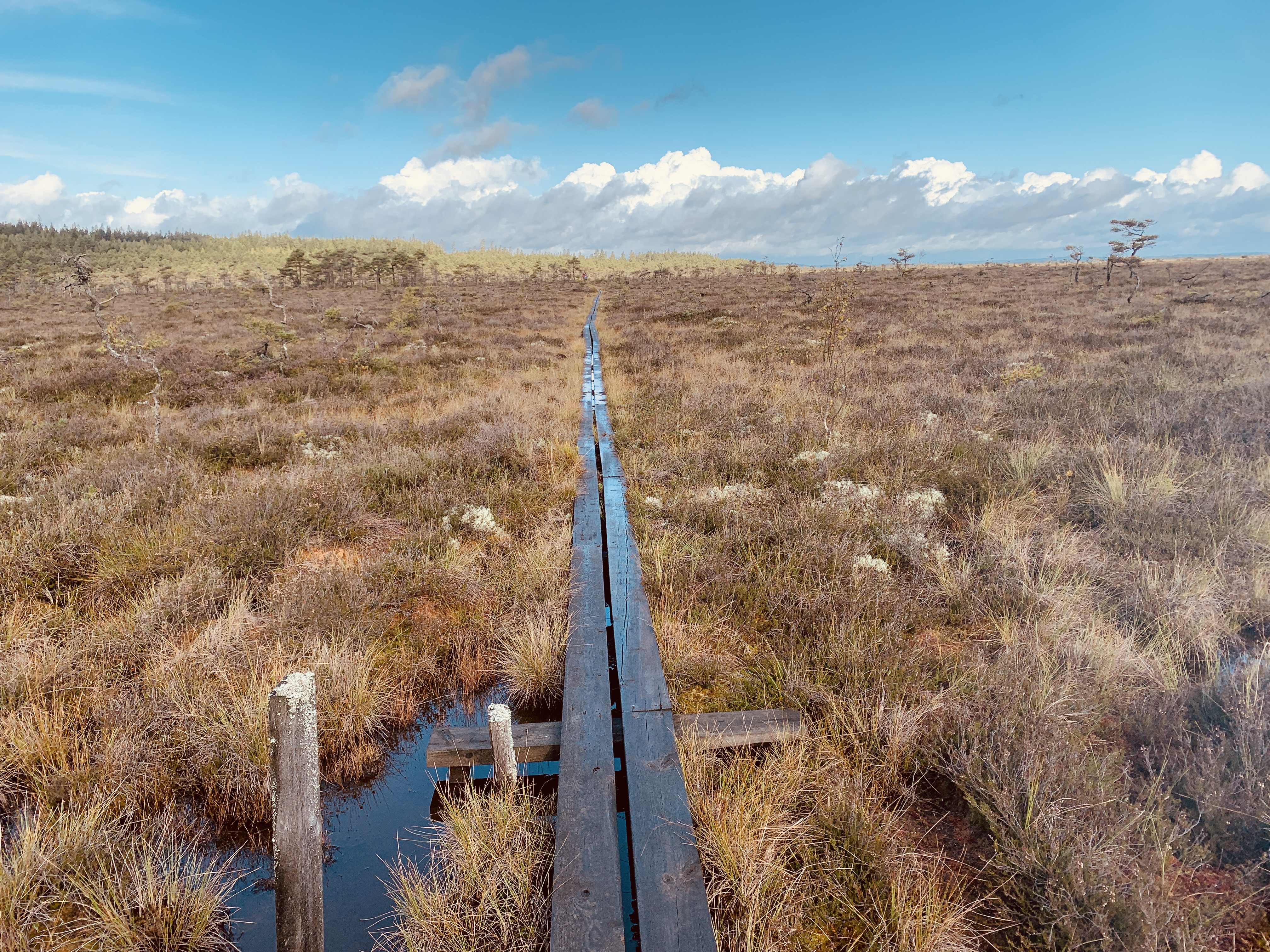
This included the NERC Exploring the Frontiers project (Grant Ref: NE/X010635/1) 'Quantifying thresholds for nutrient input on microbial-mediated carbon sequestration in temperate peatlands' 2023-2024. The overarching aim of this research was to implement an innovative test of our conceptual model (Schillereff et al. 2021)that postulated thresholds for nutrient input (especially phosphorus and nitrogen) govern long-term carbon accumulation rates in temperate, ombrotrophic peatlands. In doing so, we addressed two marked research gaps highlighted by our recent paper: (i) measurements of microbial communities through peat profiles are strikingly absent from the literature and (ii) few peatlands globally have well-dated, parallel records of multiple nodes of the peatland carbon cycle: vegetation, climate, nutrients. The rich palaeoenvironmental peat literature rarely considers phosphorus, in particular. This is a significant knowledge gap as nutrient deposition balances primary productivity and microbial decomposition and, in turn, carbon sequestration through time.

Style and rates of palaeo ice sheet retreat
The 2012-2018 NERC Consortia Britice-CHRONO brought together more than 40 researchers comprising glaciologists, marine and terrestrial scientists and ice-sheet modellers. Our aim was to collect data to provide the world’s best empirical reconstruction of a shrinking ice sheet (the British Irish Ice Sheet), for use in improving ice sheet models, and to provide the long term (hundreds to thousands of years) context against which contemporary observations (years to decades) can be assessed. The BRITICE-CHRONO project measured 639 new geochronometric ages that constrain the timing of advance and retreat of the last British-Irish Ice Sheet between 31,000 and 15,000 years ago, including across the North Sea. These ages (optically stimulated luminescence, radiocarbon and terrestrial cosmogenic nuclide methods) are made available in an excel spreadsheet, along with all sample and laboratory metadata and calibrations. Together with other published information, the ages were used to build an empirical ice sheet reconstruction at one thousand year time-steps. A poster-map and slideshow (PDF) of the reconstruction (31 to 15 ka) and the underlying GIS data (ArcGIS shapefiles) of ice extents (min, max and optimum) are made (data available here). The datasets include an ice sheet model nudged to fit these ice limits and the ensuing model-reconstructions are made available as a poster-map, slideshow (PDF) and movie (GIF) of the reconstruction (31 to 15 ka). The GIS data are also available including grounded ice extent and ice shelves, ice thickness, ice surface elevation, and ice velocity (as ArcGIS grids). From glacio-isostatic adjustment modelling we also provide digital elevation models of the palaeotopography of the British Isles and surrounding sea floors and coastline positions from 36 to 1 ka (ArcGIS grids and shapefiles). The project summary paper shows the full methods, descriptions, caveats and interpretations Clark. C.D. et al. (2022) Growth and retreat of the last British-Irish Ice Sheet, 31,000 to 15,000 years ago: the BRITICE-CHRONO reconstruction, Boreas.

Forcing sediment and nutrient fluxes in catchments
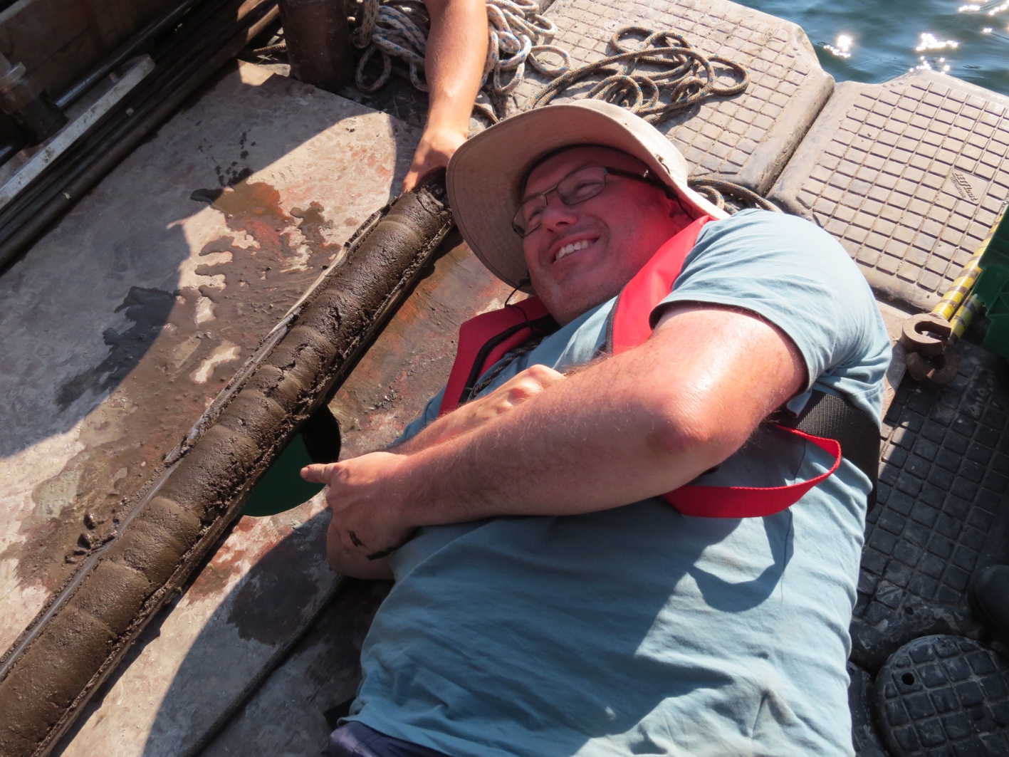
Focusing on the late glacial and Holocene environmental changes recorded in lacustrine and alluvial sedimentary and nutrient sequences (NERC, Leverhulme Trust and English Heritage). Often testing the significance of human activity (agricultural and pollution), climate change and ecosystem functioning in driving the responses of catchments. This work has included the the modelling of catchment to lake sediment delivery using dynamic hydrogeomorphic models and nutrient flux modelling. Aquatic ecosystems (lakes, wetlands and rivers) are heavily conditioned by nutrients fluxes from their catchments, with P, C and other mineral elements key regulators. The palaeo-record provides a longer temporal perspective of ecosystem functioning than is available from contemporary monitoring, much need to establish 'pristine' baseline states.
Projects include
Using the recent winter floods in Cumbria (NERC Palaeoflood research) to critically test the integrity and responsiveness of our unique, long (>600 year) lake sedimentary records of flood magnitude and frequency by quantifying the initial sedimentary event, its' diagenetic evolution and the impacts of a sediment-rich post-flood catchment. Recent flooding, following previous extreme flood events in 2005 and 2009, has highlighted the inadequacies of flood magnitude / return-frequency models developed using recorded river flows (30-50 year), which are too short to address societal requirements for accurate measures of flood risk and to address questions regarding the role of climate forcing of recent events. Lake sedimentary archives developed by our research teams at Liverpool and Durham Universities provide the length of record necessary to address this research gap. This includes a (Chiverrell et al., 2019) sediment magnitude (event particle size) signature at Bassenthwaite that correlates well with river discharges (for 40 years) and identifies that the largest 3 floods in 600 years have occurred in the past decade.
Further NERC Urgency research included assessing 'Sediment and contaminant delivery to upland reservoirs following severe wildfire' (NE/S011560/1). The devastating moorland wildfires of June and July 2018 which ravaged large parts of Northern England were the worst peatland wildfires since 1976. Severe wildfires, as distinct from managed burning, can act as a catalyst, resulting in catastrophic change in surface vegetation, soil and water runoff systems. Removal of vegetation by fire, coupled with changes to soil physical and chemical properties, enhances runoff and increases delivery of sediment and other contaminants to drainage systems. Although fire is a significant driver of change in moorland habitats the downstream impacts remain largely unknown. Given that such wildfires are likely to increase in frequency as the climate changes, the recent 2018 fires provide a rare opportunity to capture new data on the impact and response of these burnt moorland catchments in the immediate aftermath of the event. This information will be extremely valuable in addressing several fundamental questions including whether catchment erosion rates significantly increased after severe moorland fires and which areas are particularly at risk?; and how significant are the current fires in comparison to the historical record of fires in the area?. By establishing clear pathways of knowledge exchange between researchers, local landowners and restoration teams we will directly assist in the recovery of the catchments from the impacts of the fire.
Research groups
Research grants
Quantifying thresholds for nutrient input on microbial-mediated carbon sequestration in temperate peatlands
NATURAL ENVIRONMENT RESEARCH COUNCIL
March 2023 - June 2024
Sediment and contaminant delivery to upland reservoirs following severe wildfire
NATURAL ENVIRONMENT RESEARCH COUNCIL
November 2018 - February 2021
Peat moorland re-wilding: enhancing carbon sequestration and slowing-the-flows?
FORESTRY COMMISSION (UK)
October 2017 - September 2020
Geomorphic and sedimentary evolution of an extreme event: testing a sediment-based palaeoflood record
NATURAL ENVIRONMENT RESEARCH COUNCIL
May 2016 - February 2017
BRITICE-CHRONO: Constraining rates and style of marine influenced ice sheet decay
NATURAL ENVIRONMENT RESEARCH COUNCIL
November 2012 - September 2018
Agricultural change in Britain: modelling past impacts to predict the future
LEVERHULME TRUST (UK)
December 2014 - February 2017
"Unfamiliar Landscapes": from foraging to farming in Central Anatolia, Turkey
LEVERHULME TRUST (UK)
May 2013 - July 2015
Testing the apatite depletion hypothesis for early Holocene ecosystem acidification using the lake sediment record at Krakenes, Norway
NATURAL ENVIRONMENT RESEARCH COUNCIL
November 2008 - November 2009
Late Holocene hillslope and fluvial instability in Northwest England and Southwest Scotland: Viking Human Impact or Little Ice Age Climate forcing?
NATURAL ENVIRONMENT RESEARCH COUNCIL
January 2004 - December 2004
ALSF Aggregate Extraction in the Ribble Valley
ENGLISH HERITAGE
June 2007 - July 2009