

Jump to Haverigg, Barrow, Wyre, Blackpool, Ribble
Thursday 31 August: On walking to my berth in Liverpool Marina, I heard a splashing sound -- and was surprised to see a swimmer proceeding along the dock. Leave Liverpool Marina 8:08 (Liv HW 6:50 7.0m). Wind SSW 2-3 with rain showers. Out via the shipping channel until ALPHA buoy (at 9:32) when I took my shortcut going north.
CLIPPER RANGER catching me up; VOS PATHFINDER with rig beyond.
I planned to survey the wreck of the MONTREAL (see Wrecks of Liverpool Bay Vol II ). As I was also passing the wreck of the BLANCHE, I surveyed that also. There were some heavy showers and then the weather improved.
My route to the MONTREAL would take me close to one of the
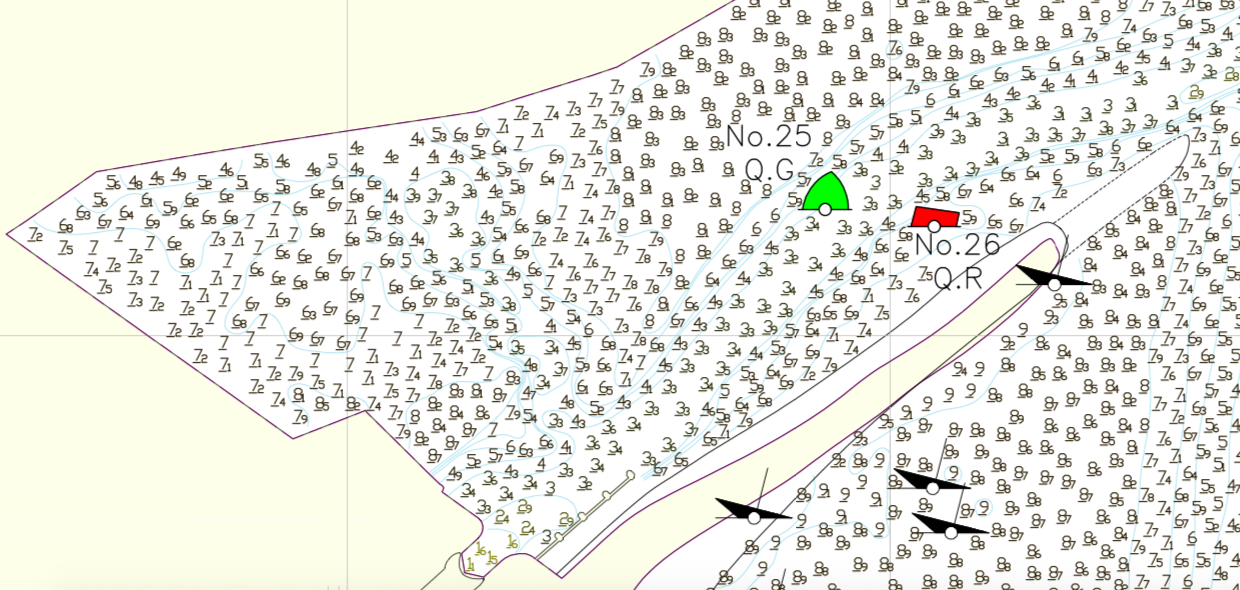
Morecambe Bay Gas rigs - which have a 500m exclusion zone around them. I
saw the guard vessel VOS PATHFINDER nearby and called them on VHF to ask
if they had a preference for which side I should pass the rig. They
replied that either side was OK but please keep more than 500m away - the
radar will trigger a warning otherwise. I reached the MONTREAL by
1:30pm.
I then headed for Duddon Bar (the entrance to the Duddon estuary and
to Haverigg). After threading my way through a lot of wind turbines, I
arrived at the Bar at 4:45 (Liverpool HW 7:31pm 7.2m). I wished to
visit Haverigg and prefer to enter on a making tide so that any wrong
route is easily corrected. I then followed some waypoints from a
Glasson Sailing Club guide
combined with the channel edges marked on the Hydrographic Office chart.
I arrived off Haverigg at 5:10 (HW Liv-2:20).
STENA PERFORMER dwarfed by a wind turbine with Barrow shipyard in the
distance; Black Combe (Duddon estuary to right of it)
See here for details of access to
Haverigg. I was moored by 5:30 with about 0.9m under my keel.
Advice from the couple aboard BADGER (moored and dry nearby) was helpful
and I rowed my tender in to the end of the concrete
pier/jetty/breakwater. I walked the short distance to the centre of
Haverigg. The Harbour Hotel was open but the restaurant part seemed
closed (it was being redecorated). They were, however, serving food (from 7pm) in
the main bar and I was soon fed and watered. After picking up some supplies
in the convenience store, I rowed back aboard at 7:50. By 8:00, the tide
was ebbing on my mooring with depth 1.3m. It was very calm and sheltered
and I did not feel MARLIN taking the ground or refloating during the night,
Haverigg from the mooring; MARLIN moored off Haverigg.
Liverpool to Haverigg (via wrecks) 62.3nm.
Friday 1 September. With HW (Liv) at 8:17 of 7.1m, I decided
to explore further up the Duddon Estuary on a making tide - hoping to
reach the quay at Millom (now not in use commercially). I set off at
7:25 and was in the Duddon Channel by 7:37. I then headed for a waypoint
I had guessed from Google Earth input. The depth reduced to 1m under my
keel by 7:55, so I decided to turn and leave. Wind was slight, sunny,
waves from NW. By 8:33 I had left the Duddon Estuary.
See here for details of my tracks in the Duddon Estuary.
Lighthouse on Hodbarrow seawall (restored circa 2004; near Haverigg).
I headed south outside Walney Island (some
fishing floats around) and then into the channel into Barrow, passing
Piel Island and Roa Island. I have been to Piel Island many times, but
have not been further in to Barrow for over 20 years - so this was a
good opportunity.
Piel Island (castle and pub); Roa Island (with lifeboat slip)
Dredger SHOALAWAY
I had been planning to try to navigate around Walney Island - which
would involve continuing north under the (lifting) bridge and through
the "meetings". Advice was hard to come by, but mostly pointed to a
preference for making the crossing of the "meetings" on a relatively big
tide (8m plus) and close to HW. So a 7.1m tide (neap) was not
particularly suitable. What I did want to do was check the air draught
under the closed bridge (Jubilee Bridge) near HW since arranging for it
to open would be a complicating factor.
At 11:22, I took a photo of the bridge (closed) which enabled me to
work out height over the tide and hence (setting the scale by knowing
the bridge has a 120ft wide opening) the air draught. I calculate that
it is about 5.6m at HWS. Details here. That
is plenty for me. As a cross-check some of the motorboats moored the
other side of the bridge had air draught greater than mine(4m) - and,
presumably, could get under at HWS.
Windfarm pontoons; Jubilee Bridge
Barrow Yacht Club (with BAE building behind); Ramsden Dock gate.
As I passed under the bridge I heard a loud bang - and feared I had
hit some obstruction. After a few moments of panic, I realised that the
traffic crossing the bridge was making it "clunk" as it passed from one
leaf to the other - so all OK. I passed the Barrow Yacht Club premises and
slip and then turned around where the moorings petered out (at 11:30).
There was also a slip on the Walney side - near the Ferry Inn.
I returned past the dock gates and along the buoyed Barrow Channel to
Roa Island. Between Red Buoys no.4 and No.6 are 3 obstructions charted
in a line as "foul" at the SW side of the channel - this is the remains of
Swedish cargo vessel Saltaro which
grounded on the edge of the channel on 29-11-1956, broke her back, and
was towed away/cut up/reduced with explosives. I then continued out to
pick up a mooring off Piel Island at 12:15. I rowed ashore to eat at
the Ship and then go for a walk around Piel Island and its ruined
castle. There were quite a few tents with visitors staying. I also
chatted to a group of kayakers who had stopped for a drink.
MARLIN moored at Piel Island; Seals inside S tip of Walney Island
next morning (with Lighthouse)
I returned aboard by 2pm and, after a few boat chores, took a
siesta. The wind was from the NW and sufficiently strong to create some
chop on the mooring, so I decided to not venture out in my small tender
but stay aboard and make my own dinner.
Distance run Haverigg to Piel (circuitous route) 28.9nm.
Saturday 2 September. HW(liv) 9:26 (7.5m).
After an early night, I got up early and set off at 6:22. It was calm
and sunny. I cut across the outer banks to head into the Wyre. This
leads to Fleetwood by a well buoyed channel which I have often used.
This time I wanted to head further up the Wyre (past Fleetwood) to
explore the navigation on a rising tide.
Remains of Wyre Lighthouse (recently partly collapsed, off
Fleetwood [update 2020: now covered at 9.5m tide height]); Fleetwood (North Euston Hotel)
At 8:12, I passed the entrance to Fleetwood Dock and entered the
upper Wyre. This is not buoyed but the Hydrographic Office chart has
depths on it. These may be out of date, so care was needed.
See more details here of navigation in the Wyre.
Views in the Wyre river above Fleetwood (looking down river).
Yachts moored off Wardleys Yacht Club; Blackpool and Fleetwood YC (Skippool)
Wrecks in the river Wyre.
I was back off Fleetwood Dock entrance at 9:30 and they agreed to
let me enter to fill up at the fuel berth. It was free-flow (both lock
gates open), so I got in quickly and was back out again by 10:05.
Free-flow on that tide was scheduled to end at 10:15.
Fleetwood Dock Marina; wreck alongside at Fleetwood Jubilee Quay.
I then headed out of Fleetwood to the Lune Deep and round King Scar
to head south towards Blackpool. King Scar was very prominent - looking
like an island (it was charted as drying 8.2m in 2005 and is most
probably higher still now [update: 2017 chart gives drying 10.7m])
- with signs of wreckage (or driftwood or
marker posts) on top of it. The wreckage might be from the
Faroese FV Stella Marie lost there in
1941.
Drone video of King Scar.
As I came south past Rossall Point, I
passed the pipeline running NW and marked by 4 yellow buoys. I passed
it just offshore of the innermost buoy and, at HW+2, sonar showed as
being an obstruction 2.4m above the seabed (of 7.4m). This is a larger
"bump" than I found last time I passed it.
Lifeboat on mooring in Wyre at Fleetwood with Knott End beyond; King Scar.
On my previous trip past
Blackpool, there was thick fog and I saw nothing on shore. This time the
weather was lovely: mostly sunny with light winds and slight waves.
As I approached Blackpool, I noticed work underway offshore and on
the shore itself. This is the project by United Utilities to put a
3.7km long plastic pipe of 2.5m diameter to take storm water offshore -
so improving the water quality on the beach. A jack-up rig was digging
a trench with a ship alongside to collect the excavated material. I
passed over the trench that had already been excavated - it was an
impressive 5m below the seabed.
Trench digging off Blackpool; Blackpool from seaward.
After passing the North and Central Piers, I could see a very tall
crane which was hoisting a cage up high and then letting things drop.
As I got closer I could see that the "things" were people (skydiving)
with parachutes that opened after they had fallen part way. Apparently,
this was a special event: AirgameZ 2017 with a 300 ft high crane.
Crane lifting then dropping skydivers.
Big One Rollercoaster in Blackpool Pleasure Beach.
Passing the South Pier and Funfair, I could also see some very
impressive kites flying - along the beachfront at St. Annes.
I decided to head up the Ribble (against the current) to anchor in
shelter off Lytham. I cut the corner with least depth of 1.2m under my
keel and reached the outer Ribble Channel at 12:57 (Liv HW+3:30).
It was so calm in the Ribble that there was no surface disturbance
to mark where the stronger current (and hence deeper water) was. I used
my tracks from a visit in 2016 but
the channel appears to have shifted in places since then. The adverse
current was about 0.7knot and I was near the 11 mile post when depth ran
out on me. Advice from the
Ribble Pilot Guide suggests that I should have been at the southern
edge of the channel here (near 11 miles) to get by at that tidal state.
So I did not get to Lytham, but was in a very sheltered spot since the
banks on either side were dry. I backtracked a little to anchor at
1:40pm in 2.5m at 53° 43.53 N, 3° 0.73 W. Glassy calm and time
for a siesta.
At anchor in the Ribble (Lytham in the distance)
LW (Liv) was 3.0m at 3:56pm, so I raised my anchor at 3:50 in slight
(still inward) current and headed back out. I managed to get out
without grounding - mainly by following quite close to the northern
training wall which was now mostly visible. I was out of the Ribble
channel at 4:35 and headed for Liverpool.
I again headed to join the main shipping channel at buoy Alpha (at
6:20). Then up the shipping channel (which was quite busy) to Liverpool.
I was a dredger sandwich filling for part of the way: DEO GLORIA ahead of me and
CITY OF CARDIFF behind.
I locked into the marina at 8:10 with a FV (Wave Dancer) and a nobby
(Spray). I was surprised that more boats were not coming back in after a
day with such excellent weather.
Shipping at Liverpool: Dredger CITY OF CARDIFF; cruise liner AIDAVITA
Piel to Liverpool 66.2nm (via a circuitous route).
Trip (157.6 nm; 26 hours run; circa 17 galls fuel) mainly at my displacement
speed of 7 knots through the water or less.
A record of the depth and track of my voyage is available from
teamSurv
Clicking on an image should give a higher resolution picture. If
even higher resolution versions of the above images are wanted, please
contact me. All information given in good faith, but please do not rely
on it. Back to index here


I passed a large vessel (dredger SHOALAWAY) outbound. I have a
fascination with the names of dredgers: at Liverpool the DEO GLORIA and
IGUAZU are in operation and one used see the SAND SWAN -- I like the
irony of an ugly dredger being a swan.
I then arrived at the entrance to Barrow Docks and the extensive
alongside windfarm boat pontoons.


It was calm (so calm that it was hard to see any surface signs of
the current). I reached Wardleys Yacht Club by 8:52 and decided to turn
around as it was getting close to HW and depth was decreasing. I could
see the Blackpool and Fleetwood Yacht Club at Skippool.


See also here
for views of 3 wrecked FV's on the west bank of the Wyre, just east of
the Wyre Dock.


Jubilee Quay approach chart from 2017.


