The river Wyre is navigable from the Lune Deep to Fleetwood and then further
inland for a few miles. The section up to Fleetwood is well buoyed and is easy
to navigate.
Fleetwood Marina is open on all tides and has a free-flow period (of
variable length) around HW. See Fleetwood Dock Marina. See
detailed
chart info on marina access which shows that the latest survey of the Wyre
above the marina was 2017 (though this seems to be a little different from the current HO chart).
Further up the Wyre are Wardleys Yacht Club and Blackpool and Fleetwood Yacht Club (at Skippool). For more expert advice, ask members of these clubs who regularly transit the Wyre.
On Saturday 2 September 2017, I decided to make use of calm weather and a rising tide to venture up the Wyre. 1 hour before HW (Liv) of 7.5m, I passed the Dock channel and headed up. More details of my trip.
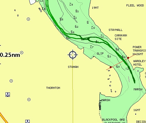
The Hydrographics Chart shows depths and a dotted track-line up as far as the pylon crossing. This information has been unchanged at least since 2007 [seems to be mostly 1996]. However, on a making tide one can always stop and return if the channel has changed from that charted.
For the first two miles, I kept to the outside of the bend (Fleetwood or west side) and had enough depth. The channel seemed to go close to the chemical works (previously ICI Hillhouse). There were cylindrical blue plastic buoys in the channel: used as yacht racing marks. Somewhat worrying was the use of the word "breakwater" on the chart in places: one of them appearing to cross the preferred channel near the pylons.
The first tricky patch was to transfer from the west bank to the east bank for the next bend. I maybe missed the deepest channel but had enough depth to get through. The channel then ran close to yachts moored off Wardleys Yacht Club on the east bank. Soon after passing these moorings and, with Blackpool and Fleetwood Yacht Club at Skippool in view, I decided to turn around (at HW(Liv)-30 minutes in 2m depth under my keel and with current still coming up river).
In principle it is possible to continue up to the first bridge (Shard) over the Wyre a little past Skippool.
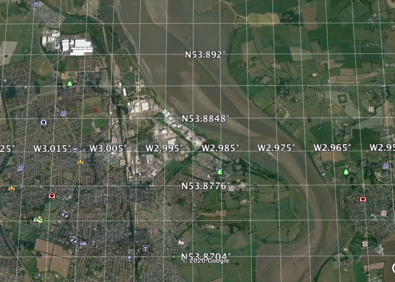
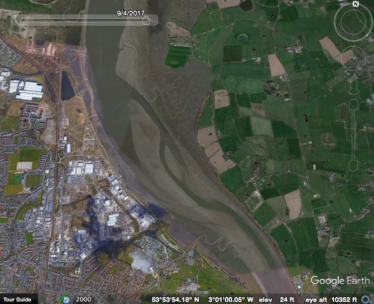
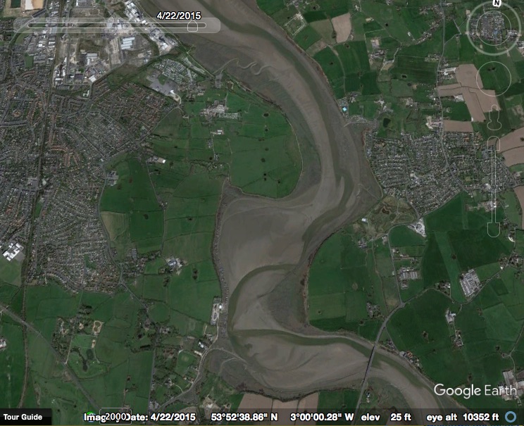
Some images from Google Earth (2015 as northern and southern sections):


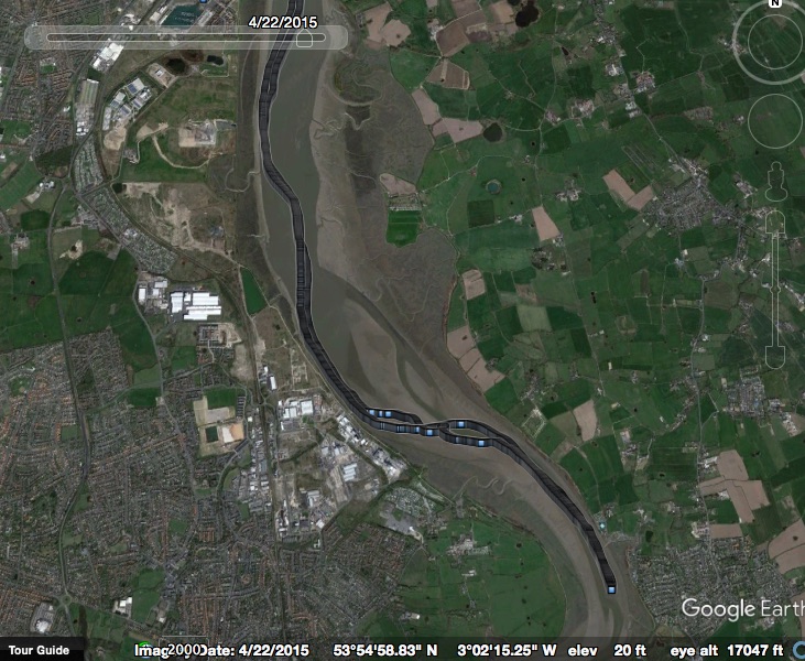
My track on Google Earth:
My track on HO chart (darker is shallower):
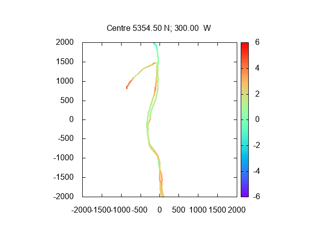
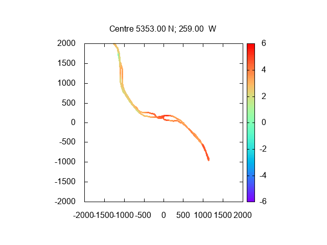
Depth record (in metres compared to CD using Heysham tide-gauge depths)
in northern and southern section:
Update: 2018 Google Earth image of upper Wyre - showing channel
