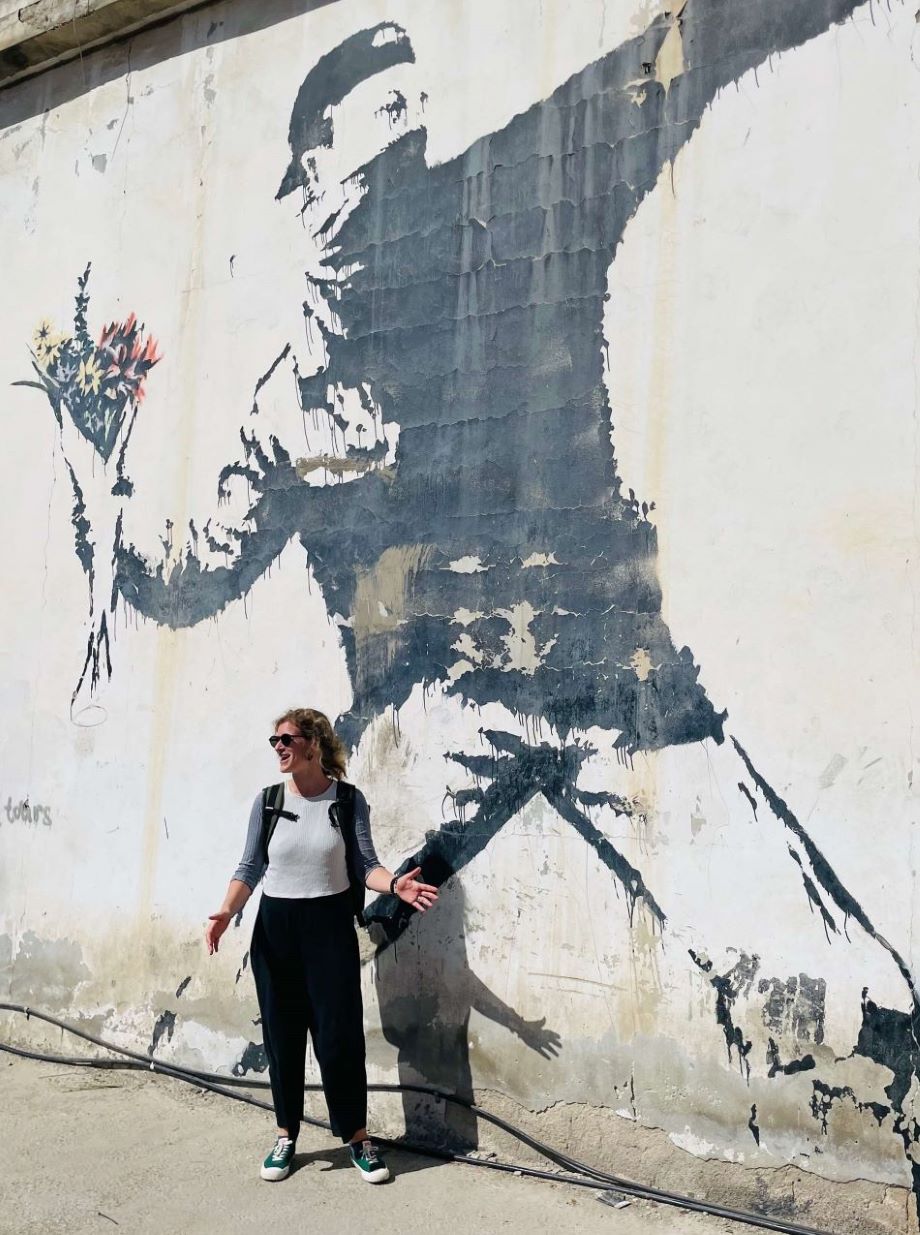
Staff Spotlight: Elisabetta Pietrostefani

The GDSL are thriled to announce a number of new staff members. To provide you with an understanding of their background, expertise and their experiences in their new roles, we will be introducing two new staff members each week.
Beginning this series we are thrilled to introduce Geographic Data Science Lecturer and deputy lead of the lab Dr. Elisabetta Pietrostefani. Here is what they had to say.
How do geographic data and spatial analysis techniques play a role in solving real-world problems and making informed decisions?
Spatial analytics and geographic data have become important tools for solving problems in the real world. Digital footprint data from sources like social media and satellites is now more easily available, which means we can make decisions with a level of information that has never been seen before. During my PhD, one of the most difficult challenges was a professor telling you that "the data is not spatially disaggregated enough" or that "the data exists but accessing it is difficult." However, this sparked my interest in new data types and their potential applications. New categories of data are revolutionising our ability to recognise socioeconomic patterns and make decisions based on data to unprecedented levels.
During the COVID-19 pandemic geographic data and spatial analysis played a crucial role in tracking the spread of COVID-19. By analyzing data such as infection rates, testing locations, and patient movements, spatial models helped predict and understand how the virus was spreading.
If we take a completely different example, satellite data is now proving an unpresented resource in post-disaster recovery efforts. In August 2020, after the devastating explosion in the port of Beirut, Lebanon, spatial analysis played a crucial role in emergency response and damage assessment. Satellite imagery was used to map the extent of damage and identify areas that were most affected. Social media data, such as geotagged tweets were utilized to understand the immediate impact of the explosion and the subsequent population movements. Similar data analysis has been conducted in more recent events such as the 2023 Syrian-Turkish and Afghan earthquakes.
I'm dedicating my research to uncovering patterns in data-poor places, and these new forms of data provide a key opportunity. By harnessing the power of geographic information systems (GIS), remote sensing, and machine learning algorithms, we can start bridging the gap between data-rich and data-poor areas, helping us to make more informed decisions and address real-world problems more effectively.
It allows us to create comprehensive, dynamic, and actionable insights that empower decision-makers in various fields, from urban planning and resource management to public health and disaster response. The potential is enormous, and I'm excited to be part of this journey to leverage geographic data and spatial analysis techniques for a better-informed world.
How are you liking Liverpool so far?
Since joining the University of Liverpool nearly a year ago, I have been loving the Liverpool vibes. The Geographic Data Science Lab has shown to be an inclusive and inspiring team.
I love the out of the box activities (at least for me), where we don’t just have research seminars in the form of conventional research presentations but tap into technical demos or/and helpful discussions.
The view from the ninth floor of the Roxby building is a also a treat!