Jump to Colwyn Bay, Menai Straits, Llanddwyn, Cymyran, Holyhead, Cemaes Bay, Moelfre.
I mainly use tides favourably (this helps a lot) and motor at my displacement speed (5 to 7 knots).
Weather forecast was favourable - a "slack" low pressure system would mean light winds for a few days at least.
Wed. 5 July: Leave Liverpool Marina 10.45 (HW 9:29 7.9m; LW 16:12 2.5m) and head through Rock Channel and inshore to Colwyn Bay. It was calm and sunny, so I decided to anchor off Porth Eirias (Colwyn Bay) to go ashore by tender at Bryn Williams restaurant to get something to eat. It was close to LW when I anchored at 2:45pm (near the charted LW line). I arrived just in time to be served (3pm last lunch orders). I have been before and find the food to my taste.
On my trip I heard the suction dredger ARCO DEE (based Garston)
reporting activities just NE of the North Hoyle Windfarm - this could
impact diving in that area.
30 miles run from Liverpool to Colwyn Bay,
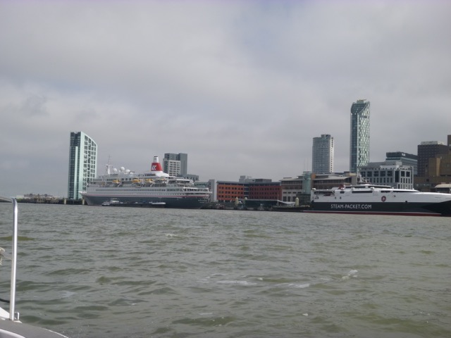
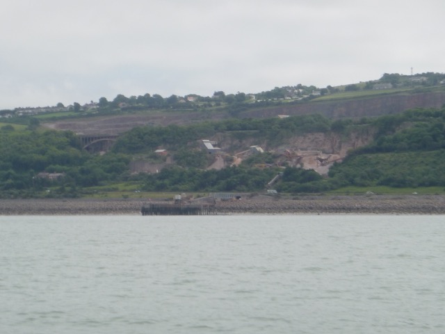
Cruise ship BOUDICCA and IOM ferry MANANNAN at Liverpool; Quarry and Raynes Jetty (Llandulas).
 |
 |
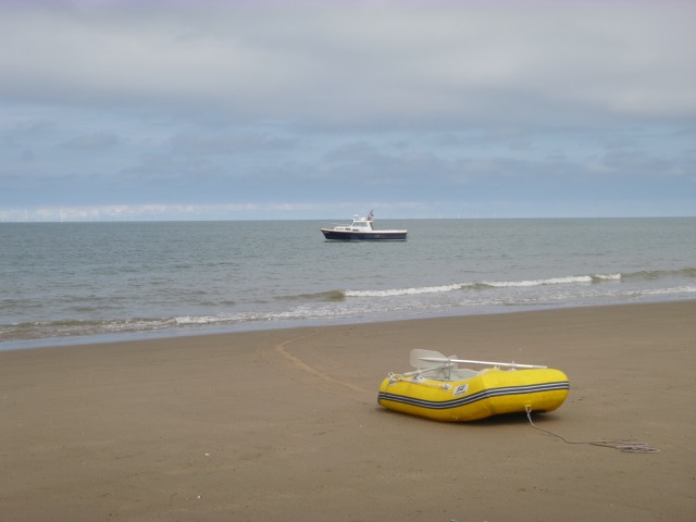
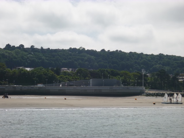
Marlin anchored off the beach at Colwyn Bay; Bryn Williams restaurant is in the concrete building (as is a watersports centre).
 |
 |
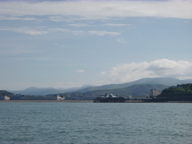
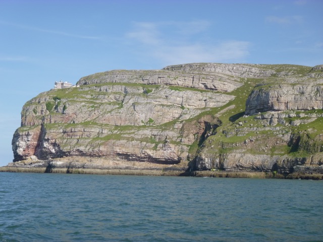
Up anchor at 3:40 and proceed west past Rhos, Little Orme, Llandudno, Great Orme, Conwy Bay and to Puffin Island.
Llandudno pier with Snowdonia behind; Great Ormes Head.
 |
 |
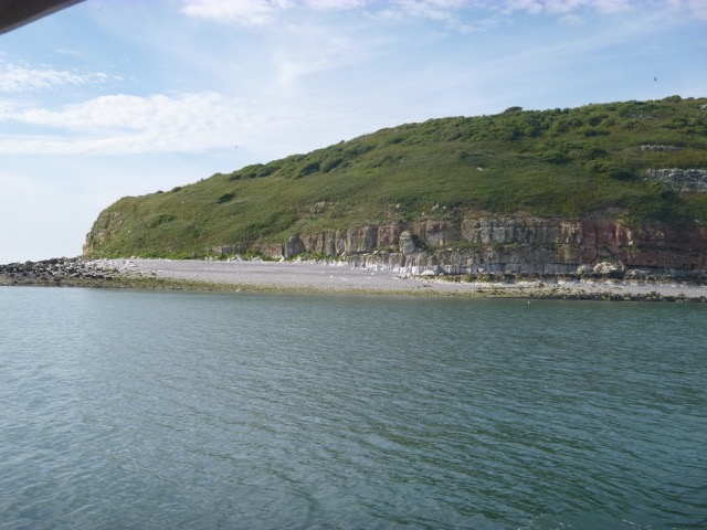
Pass south of Puffin Island (using my waypoints to get around the sandspit) at 5:40, close to LW. More on Puffin Island.
Puffin Island "beach"; Bangor Pier.
 |
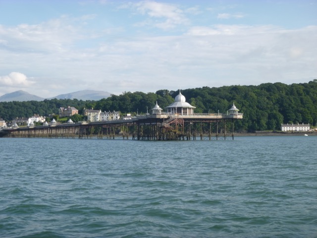 |
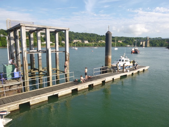
I had had favourable tide all the way from Liverpool (ebb until Puffin and then flood up Menai) until close to Bangor Pier where the current coming through the Swellies was significant and adverse. I upped the revs (good for the engine) for ten minutes to reach Menai Bridge by 6:40. The pontoon at St George's Pier was free so I tied up there. In keeping with the gastronomic theme of the day, I went ashore to Dylans nearby for something to eat. 21 miles run from Colwyn Bay to Menai Bridge.
On the pontoon there were local boys jumping in from the supports (it was hot weather) and a group of Chinese men and a boy fishing. I asked what they were catching - shore crabs which they intended to eat themselves. I have eaten soft-shell crabs in the USA (just after they shed their shell) but never shore crabs...
Menai Bridge (St Georges Pier pontoon); Menai Suspension Bridge (from the Swellies)
 |
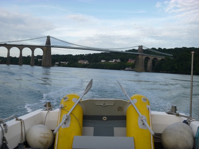 |
Having eaten, I set off again at 7:50 since slack in the Swellies is at HW(Liv) -2 hours and HW(Liv) was 9:54pm. I did a little surveying on my passage through the Swellies. More info on Swellies. With favourable current, I passed Caernarfon at 8:55.
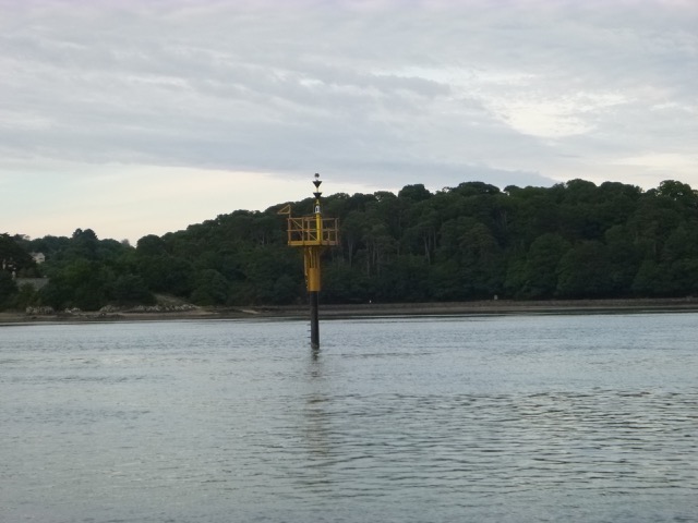
Perch marking Swelly Rock; Gored Goch and Britannia Rock seen through the rail/road bridge.
 |
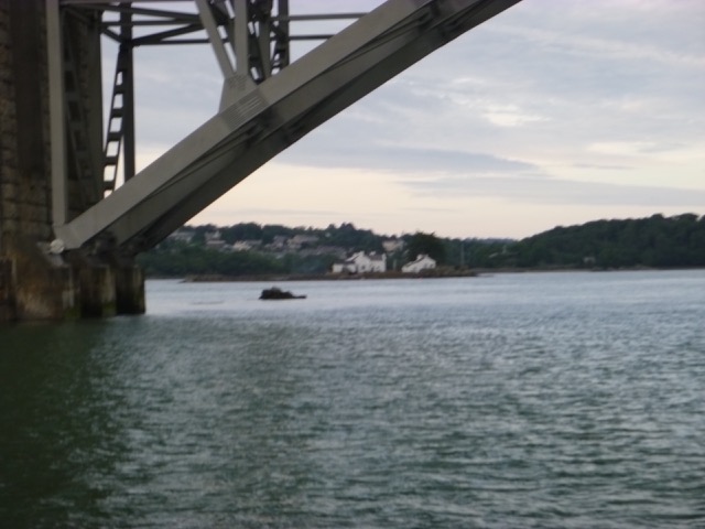 |
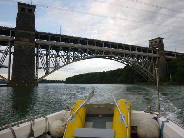
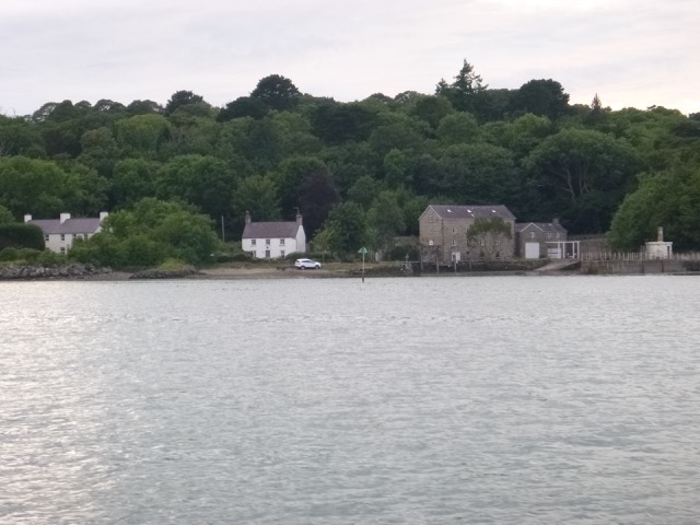
The Road/rail bridge; Pwllfanogl
 |
 |
There is a shallow area just west of Caernarfon (near C7 and C10 buoys) which, at low water, I had found tricky - even touching the bottom on a previous trip. I now found that the buoyage has changed substantially - going to the north of the sand bar, rather than through the narrow gap south of the sandbar and close to the south shore. The latest Navionics chart shows this new buoyage. Also the Caernarfon Harbour Trust gives the updated buoy positions.
I passed Belan Narrows (with several knots of favourable current) at 9:08 and followed the buoyage through Caernarfon Bar reaching the open sea by 9:30. Local HW was at about 9pm, so a good time to cross the bar. I then headed for Llanddwyn Island to anchor on its south side. There were two other vessels already anchored, so I had third pick of the best spot to anchor. After a bit of "surveying" I anchored at 10:00. It was calm overnight.
The other vessels did not show anchor lights - this seems remiss to
me. If another vessel had arrived when it was fully dark, they were not
showing their position as they should.
14.4 miles run from Menai Bridge (65.5 from Liverpool).
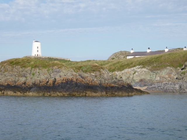
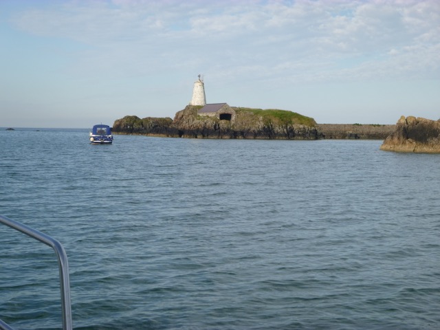
Llanddwyn Island (peninsula actually): light-tower and pilot cottages; anchorage.
 |
 |
Thursday 6 July. Holyhead HW 9:39 4.8m.
Leave Llanddwyn anchorage at 7:55 and proceed NW up coast. Passing
the offshore reef Carreg y Trai (marked as green on the chart) I saw
that it was uncovered (at 8:25 - close to HW). I then passed Porth
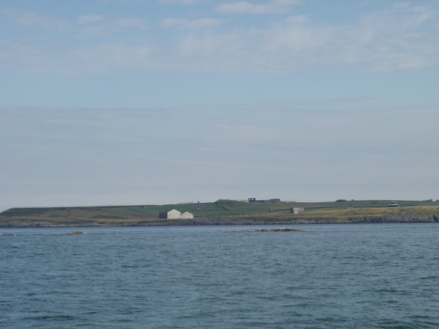
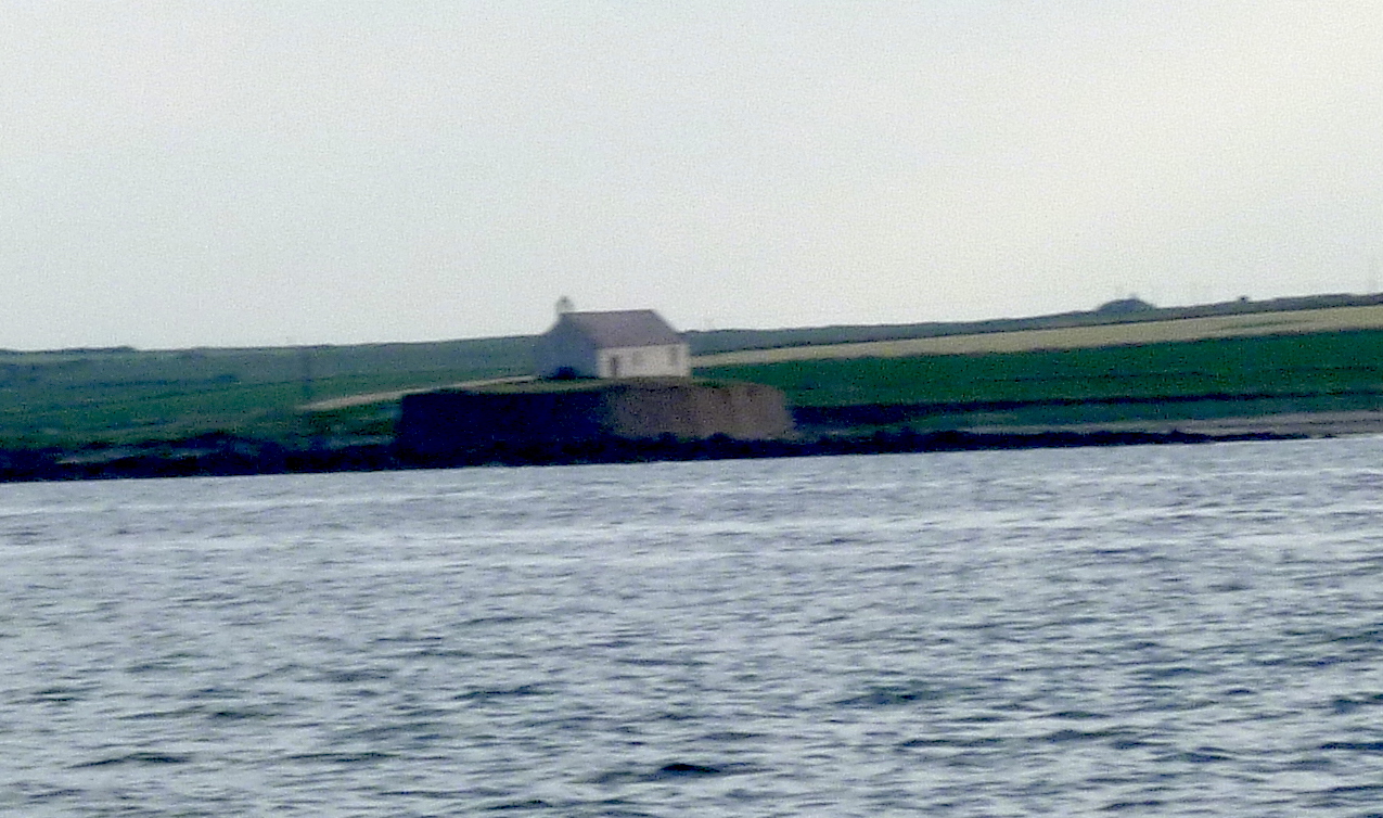
Cwyfan with the small church sitting on the small (tidal) island.
Carreg y Trai; Porth Cwyfan
 |
 |
After passing Rhosneigr, I decided to explore the Cymyran Inlet.
This is a sheltered creek that I had tried unsuccessfully to explore
previously.
See my exploration details and images.
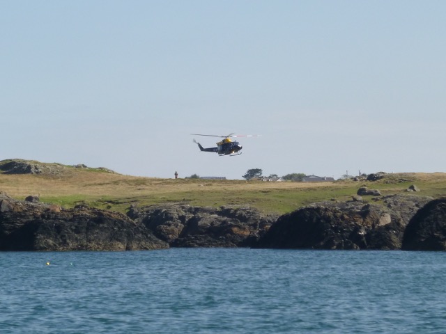
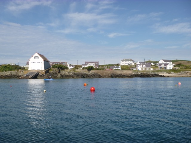
After exploring the Cymyran Inlet, I moved on to the nearby bay of Rhoscolyn (called Borthwen on the chart). I took up a mooring to get some rest- punctuated by the noise of a helicopter practising winching on the cliffs nearby.
Rhoscolyn: Helicopter practice; Old lifeboat station from my mooring.
 |
 |
Suitably rested, I set off again at 10:55 through the sound inside the offlying rocks with a beacon. I spotted a coastguard station on the clifftop with flags flying. Guessing this was National Coastwatch Institute, I called them on VHF 65 for a chat - they confirmed they had me "on visual". They are volunteers that keep a lookout for limited hours from ex-coastguard lookouts. I met some of the volunteers from Rossall (N of Blackpool) at the Northern Boat Show (at Liverpool) recently and was impressed that they remembered my boat passing Rossall Point a month or so earlier. These two locations (Rhoscolyn and Rossall Point) are the only ones currently active in the NE Irish Sea.
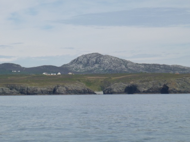
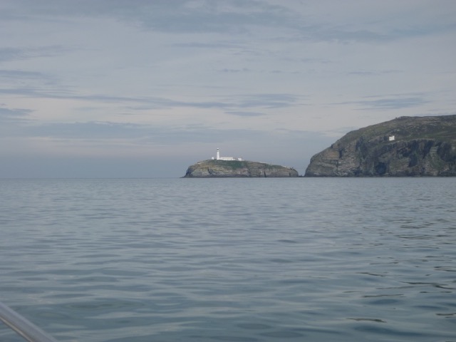
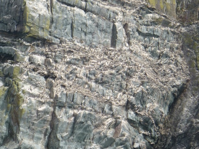
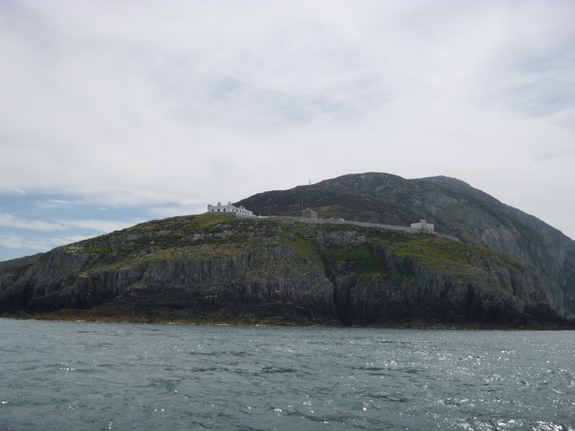
I crossed Trearddur Bay and headed for South Stack. As I passed the cleft in the cliffs called Porth Ruffydd, I noticed that the abandoned lifeboat station there has now been removed. The chart still says "boathouse" however. There was still quite a lot of current around the headlands (4 kts max) but back-eddies could be found in the bays between them. It was calm weather so any overfalls were minor. After taking some photos of the bird-infested cliffs, I passed South Stack at 12:00 and then North Stack at 12:20.
Porth Ruffydd; South Stack.
 |
 |
South Stack: Bird-infested cliff; Access bridge.
 |
 |
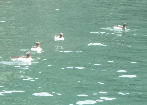
Guillemots; North Stack.
 |
 |
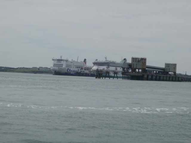
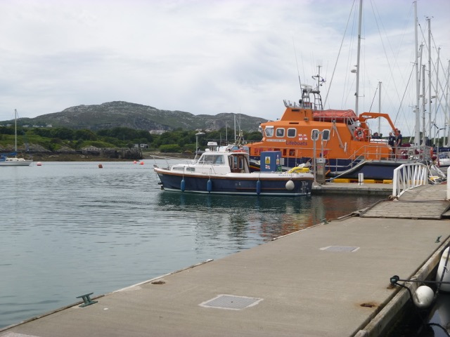
I then worked the back-eddies until I rounded Holyhead Breakwater (at 12:45) and headed into Holyhead marina. I headed for the fuel berth (which is next to the lifeboat). The price of fuel was cheaper than at Liverpool or Conwy marinas. The other plus is that the marina has 24 hour boat access. 24.1 miles run from Llanddwyn Island.
Holyhead: RoRo Ferries; Marlin on the marina fuel berth.
 |
 |
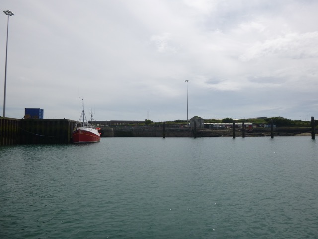
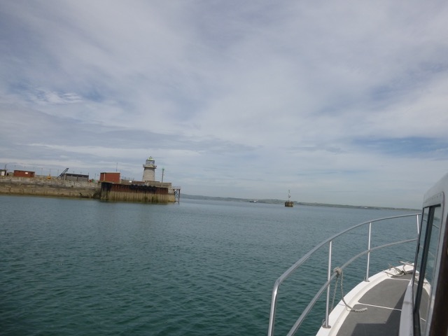
I had seen suggestions that there were pontoons in the Fish Dock, part of the Old Harbour, that might be used for a brief stay. Keep a listening watch on Channel 14 when in Holyhead Harbour. After the ferries had left, I went round to take a look. There were 6 solid poles that had held the pontoons, but the pontoons had been removed. The Harbour website has a report [link dead] indicating that they suffered damage in 2009 and were totally removed by 2014. The only alongside berthing option left at the Fish Dock is the inside of South Pier - which has room for about 3 trawlers only. Chart of port.
Holyhead Old Harbour: Fish Dock; Mail (or Admiralty) Pier Lighthouse (disused).
 |
 |
I left Holyhead at about 2:45 and headed for Carmel Point. Current was slight and I rounded Carmel Head close inshore at 3:50. I passed outside Harry Furlong Buoy, was briefly accompanied by a porpoise, and headed into Cemaes Bay at 4:20. See my previous visit. 13.1 miles run from Holyhead marina, 37.2 from Llanddwyn.
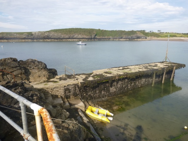
There were two large white buoys marked "8 Knots" - as a maximum I hoped. I anchored inside them with about 2m under my keel at LW. After a siesta, I rowed ashore to Porth Bach - this has water before the main harbour and has steps to aid getting from the tender without getting wet feet. There is now a barrier and a sign on the jetty - saying unsafe and no access. Access from the root of the jetty is still OK. After a walk (around the houses literally) I got to the centre of Cemaes Bay.
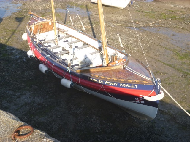
I had previously eaten in the Stag Inn - but I was told this was closed for refurbishment, then told it was opening that night, then told that they would not be doing food that evening. The Harbour Hotel nearby was open and was serving from 6pm. This proved a good (actually only, apart from a chipshop) choice. I visited the main harbour where boats were still aground - including a restored wooden lifeboat.
I was back aboard by 7:10 and stayed peacefully (apart from some jetski activity) anchored. I noticed that Porth Bach jetty covered at 8:00 - it does have a perch marking the outer end.
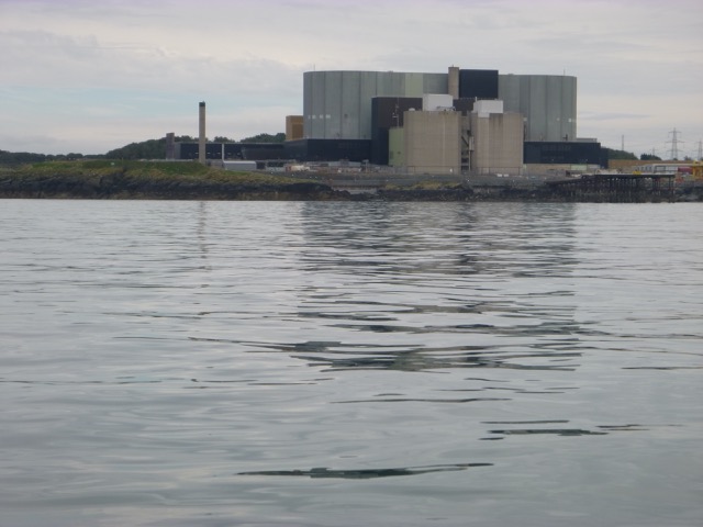
Wylfa (nuclear power station in very calm weather); Porth Bach (Cemaes Bay).
 |
 |
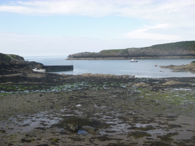
Cemaes Bay (Porth Bach to left); Restored wooden lifeboat (Charles Henry Ashley) in Cemaes Bay Harbour.
 |
 |
Friday 7 July (Liv HW 11:01 8.3m; 23:18 8.7m).
Off at 7:25 and motor slowly (with the current) along the north coast to
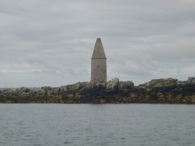
Point Lynas (by 8:15). I then headed SE to Dulas Island (has a tower on
it). I expected to see seals - but none were evident. The wind was SW
and force 3 so keeping inshore was calmer. I decided to anchor at
Moelfre (at 9:15). There were several mooring buoys visible:
one large one marked "Liverpool Pilots", and two near the lifeboat
station. All but one of the others looked suitable for lightweight craft
only.
In order to get something to eat I rowed ashore to be at Ann's
Pantry by 12:00. I was back aboard (after rowing strenuously to counter
the wind) and set off at 1:00.
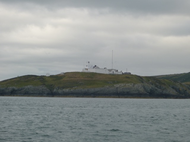
Point Lynas Lighthouse; Dulas Island Tower.
 |
 |
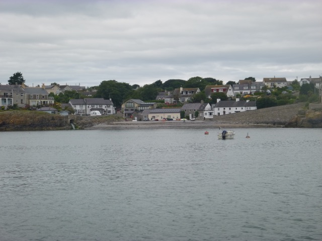
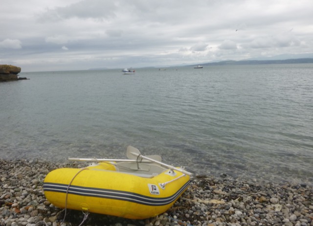
Moelfre from my anchorage; Marlin anchored from Moelfre beach.
 |
 |
As I got further offshore, the waves got livelier. With initially a
SW direction (later veering WNW), the autopilot got confused a few times.
A following sea does tend to cause a Mitchell to surf down a wave and
then want to turn beam-to. I passed south of Rhyl Flats windfarm and
then south of North Hoyle windfarm. As I had plenty of time, I motored
slowly and the current helped me along after LW (circa 5:00). It was
quite gloomy weather with some misty rain later. The gannets seemed to
like it - they were diving into the waves enthusiastically.
Nearing Liverpool the sea state improved (0.65m waves were reported at
Liverpool Bar) and I headed in through the Rock Channel. I locked
into Liverpool Marina at 9:15.
48 miles run from Moelfre; 60 from Cemaes Bay.
Trip total 163 miles.
If higher resolution versions of the above images are wanted, please contact me
Back to index here