Satellite views. Google: map Bing: map
The moorings and entrance channel have shifted gradually to the east over the last few decades. Information below is from May, July and August 2015.
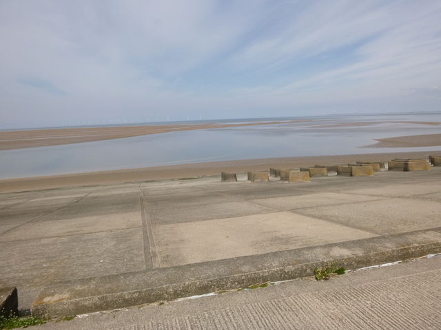
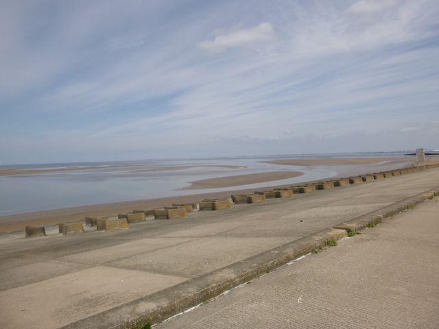
It would be best to inspect the moorings and access channel (which lies close to the sea wall from near Leasowe lighthouse and the car park at Moreton, east of the moorings) at low water to verify the route.
From seaward, head (at roughly 205° ) for the Lifeguard hut on the top of the seawall at Moreton (near the west end of the vertical concrete strips on the seawall at a position approx 53 24.971 N, 3 7.190 W). I head in from offshore waypoint 53 25.56 N 3 6.85 W. The deepest water is in a rather sinuous channel which seems to be deepest quite close to the eastern edge of the Hoyle Bank (bank dries before HW+2h). When inspected in May 2015, there were no buoys marking the entrance channel, but they had been laid by July. The numerous smaller sand banks in the entrance channel uncover around HW+3h. The channel then runs up to the seawall (at approx 240°) near to where there is an entrance gap in the seawall top (position approx 53 24.944 N, 3 7.319 W).
Keep going west close to the sea wall. There is a rocky area with three perches (locally called the "folly" or "Barber's Folly"), keep close (offshore) to the first two perches and then head west to the yacht moorings (yellow buoy marked channel on 20 Sept 2011). Note the western perch is on a sand bank. The fishing boat moorings are closer to the sea wall but less easy to access.
I came into Meols to dry out over low water several years ago. In August 2015 I came in near HW to survey the channel (see images) and then turned around and left. Also in May 2016. I also noted in these records, some information about the buoys marking the entrance.
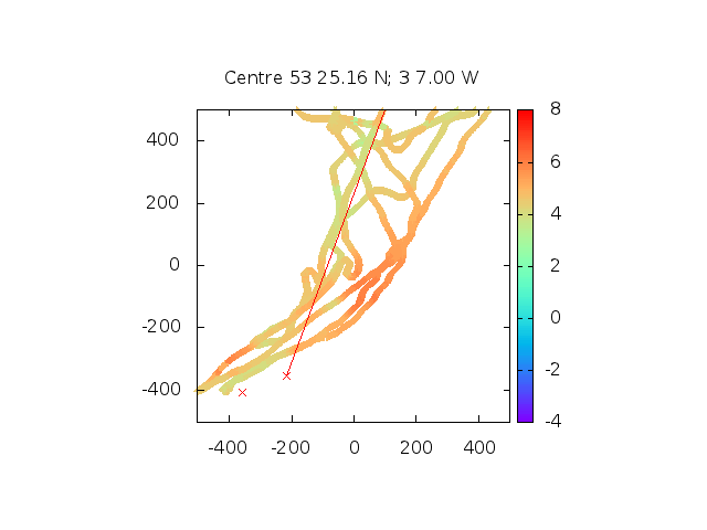
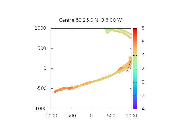
Survey of Meols channel: depths in metres of seabed above Chart Datum (5m is half tide); distances in metres; waypoints are along seawall as described above.
| |
|
Image of my tracks (darker is shallower) on HO chart with waypoints.
Information from a yachtsman about the channel into Meols here. [link dead]
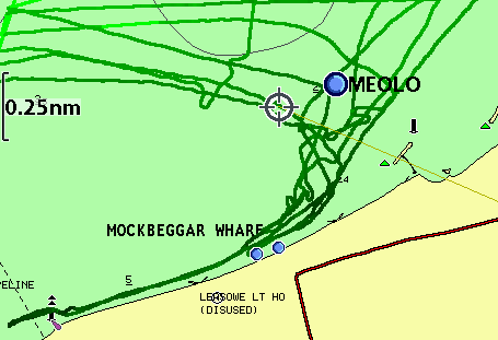
Images of Meols channel and moorings 20 Sept 2011.
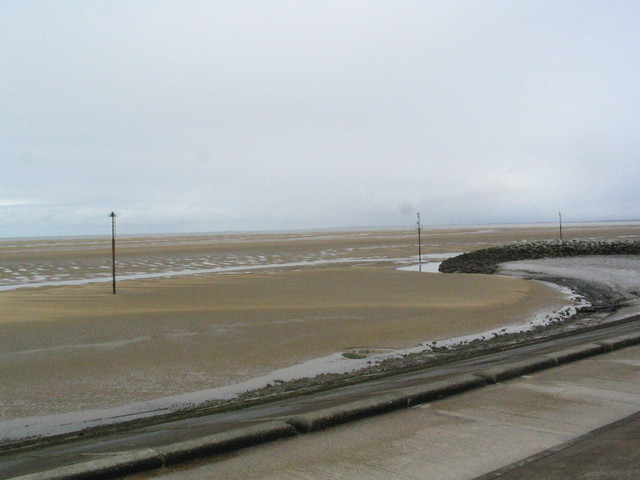
Dove point slip and fishing boats; outer yacht moorings (also yellow buoy and western perch) seen from the east.
 |
 |
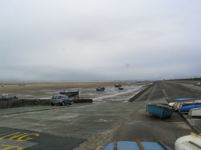
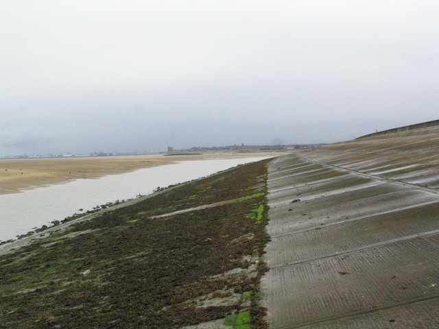
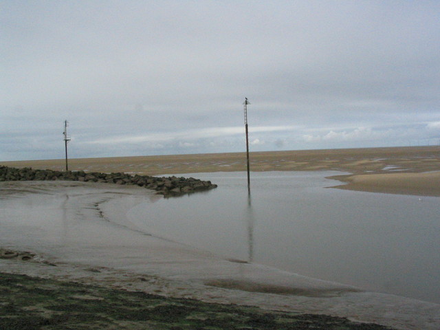
Channel along seawall from Leasowe lighthouse; east side of rock area; west side of rock area.
 |
 |
 |
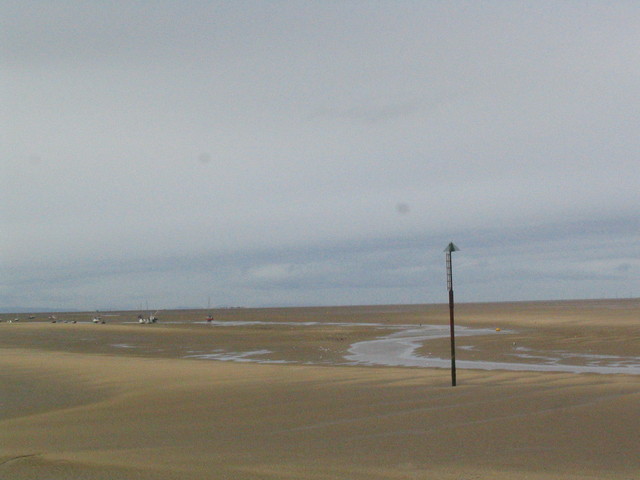
View (out from sea wall near Moreton) of channel in (at HW + 3h 15: May 2015).
 |
 |