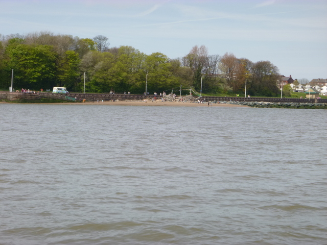
Thursday 5 May. Leave Liverpool Marina at
11.25 (HW 10.35 9.4m). Proceed past New Brighton (at 12.00) then
proceed into Rock Channel to survey some of the wrecks marked on the
chart.
I had previously photographed two of them at spring low water
when they partly dry. For details and photos see
Wrecks of Liverpool Bay Vol 2 .
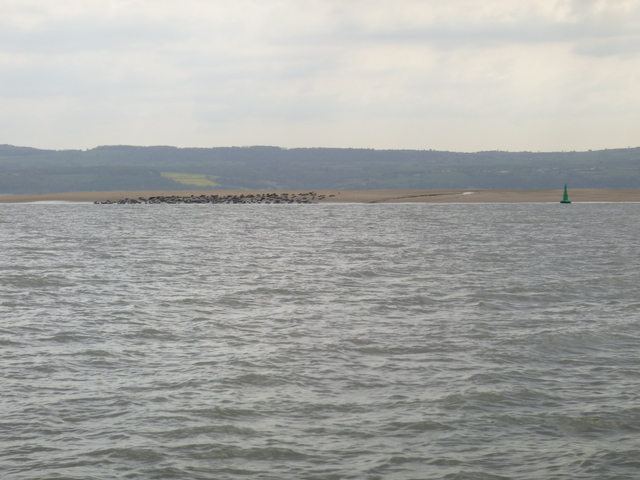
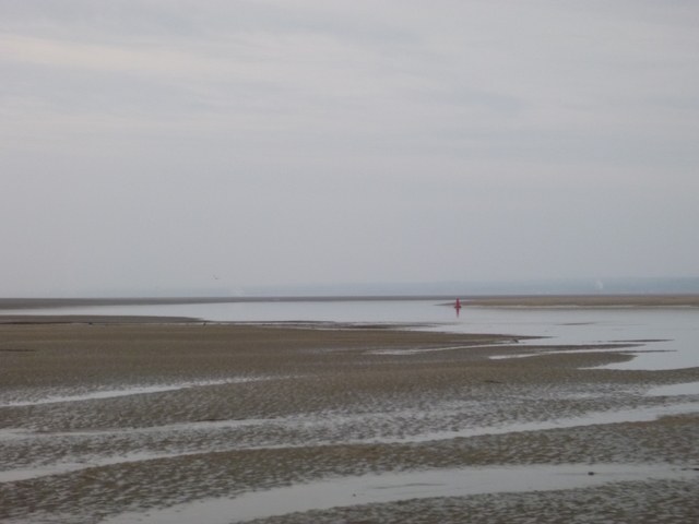
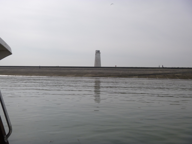
Only one of the wrecks I surveyed appears now to have a significant
presence underwater ("Gun" wreck charted as drying 3.9m). A candidate
for that wreck is the SS Superb, an early steamship, lost in 1835.
There is a small signal at the location of the "goals" wreck
(charted as drying 3.6m) also.
While I was surveying, I spotted the Fred.Olsen cruise ship
Boudicca inbound.
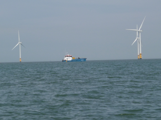
I then moved west to take a look at the site of the wreck of the J. B. Kee. This is near the area of the Burbo Bank Windfarm Extension with construction now commencing. Indeed the guard vessel MCS Kaver approached me and requested me to keep outside the designated construction area (marked by 7 buoys). See here and select Notices to Mariners LNTM09 for more information. Currently work seems to involve the (side stone dumping and fallpipe vessel) HAM 602 which is moving bits of seabed around and covering them with rock,..
Pirate ship "Black Pearl" on the beach at New Brighton; Burbo Bank extension: Guard vessel MCS Kaver and Stone dumping vessel HAM 602.
| |
|
|
I then headed into Hilbre Swash to survey the wreck of the Robert
Seymour. Gannets diving. After passing HE3, the current was adverse -
about 1-2 knots and I passed another Liverpool Marina boat, St Hilda.
Pass Hilbre Point at 3.55 and He4 (seals) at 4.03. Having failed to
find a viable low water channel up the Dee in my previous trip, I aimed to explore
near LW (Liverpool LW 5.37pm 0.8m) when the channel should be easier to
spot.
I headed down the west side of the wide channel to where a narrow
gut is charted that has water at LW and links to the main channel that
goes from Dee1 to West Bar buoys. The entry to this gut sometimes has a
locally laid buoy "East Bar". This gut was shallow: after some tries, I
managed to slip through at 4.35 with about 0.8m under my keel.
There were a few small seals resting on the west bank of the gut.
I could then see clearly that the channel passing Dee1A was barred
at LW, so the next channel must be the way. Indeed it was and I reached
Dee3 at 5.03 and Dee4 at 5.15 (still with adverse current - so ebbing).
The location of this channel is fairly accurately given on the latest
chart (issued spring 2015).
Weather was good: partly sunny and wind N 2-3. I decided to return to seek a good spot to anchor overnight and from which I could make an early start the next day. I retraced my route to near Dee1 (at 5.40) when I could see it dry on the sand bank. The bank charted SE of Dee1 was covered for a small length quite close to Dee1: I tried to cross it going NE but there was not enough water for me.
I decided to go the longer way around instead: via West Bar and the
gut I had passed earlier. I was through the gut by 6.30 and then
proceed SE to the Thurstaston channel entrance. I reached it at 6.45
when it was still dry with the lowest point close to a small red buoy.
I decided to tuck in here and anchored at 7.05. Position aground 53
20.496 N 3 11.473 W. Seabirds all around including some ducks (hard to
identify) among others.
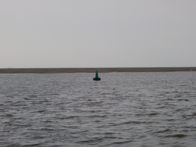
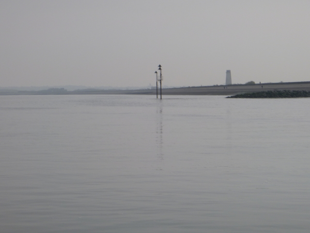
I could see the Dee2 buoy from my anchorage: it seems to mark a
channel which is blocked at LW (as I found the month before).
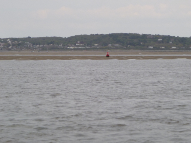
Dee estuary buoys He3 (with wreck of Nestos on horizon behind): He4 (with seals on Hoyle Bank); Dee1 (aground).
 |  |  |
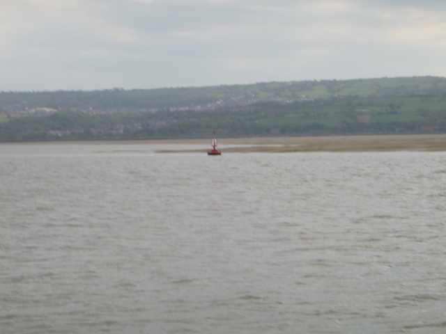
Dee estuary buoys: Dee3; Dee4.
 |
 |
Friday 6 May.
It was fairly calm overnight (a bit of wave motion near HW when the
banks uncovered -- it was a big tide 9.5m Liverpool). I took the ground
gently and only realised I was aground when I could hear no noise of
water flowing past. Also when I got up, I discovered that Marlin was
tilted over.
I climbed onto the sand to check my anchor, but discovered that
there was a mixture of sand and mud and walking in the muddy bits was
"sticky". I retreated aboard.
View from my position (near LW) towards Dee2; Dee1; Marlin aground.
 |
 |
 |
I was afloat at 7.30 and set off out of the Dee estuary. It was
calm and sunny with some mist. Terns diving. I passed He3 at 8.40
(Liverpool LW 6.01 0.8m) and, since there was some mist over towards
Crosby, I decided to visit Meols. See here for more info.
I went through the Rock Channel into the Mersey. I passed a
historic 3-masted sailing vessel and a warship (HMS Bulwark) berthed on
the Cruise Liner terminal. I arrived off Liverpool Marina at 10.45 and
locked in soon afterwards.
Meols: Folly with Leasowe Lighthouse beyond; Leasowe Lighthouse (and
reflection) behind the seawall;
I was offshore of Meols at 9.15 (Liverpool HW 11.24 9.8m) and near
the seawall (Leasowe Lighthouse) at 9.23. Inward current was over 2
knots in places. I passed the Folly at 9.30 and headed for the Yellow
buoy which marks the start of the Meols moorings. Here I turned around
and headed back out with adverse current. I passed between two yellow
can buoys which I presumed marked the optimal channel. This was close
to the track I had used coming in (which was based on my 2015
experience). I was back offshore of the Meols channel by 9.55. So at
HW-2 on a big tide, I had no problem entering and leaving. At that time
the bank protecting (seaward side) the Meols channel was still
uncovered.
 |
 |
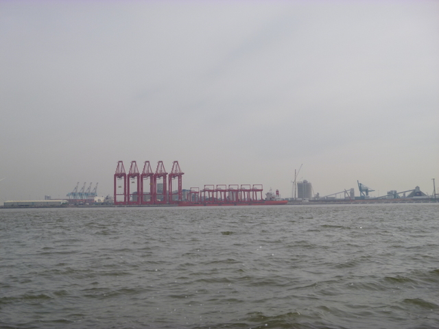
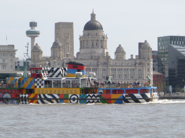
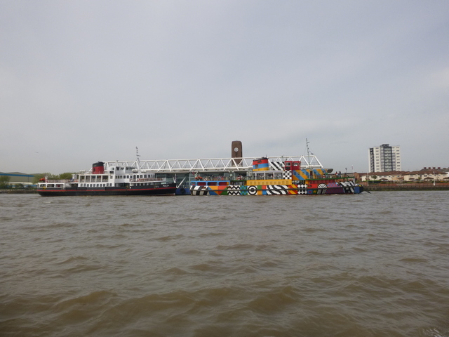
Mersey: Container cranes at Seaforth; Ferry Snowdrop passing Pierhead (on Thusday); Snowdrop and Royal Iris at Seacombe.
 |
 |
 |
Above trip was mainly at tick-over (6 knots through water) and used about 8 gallons. Distance run (over ground) 36 nm outbound and 20 nm returning.
A record of the depth and track of my voyage is available from teamSurv
If higher resolution versions of the above images are wanted, please contact me. All information given in good faith, but please do not rely on it.
Back to index here