I mainly use tides favourably (this helps a lot) and motor at my displacement speed (5 to 7 knots). It is a lot of effort to get my dinghy out from under the deck, inflate it and launch it - so I prefer to dry out to go ashore where feasible.
Depths quoted (in feet) are from my echo sounder which is on the bottom of my keel: so add approximately 2 ft to get total depth of water.
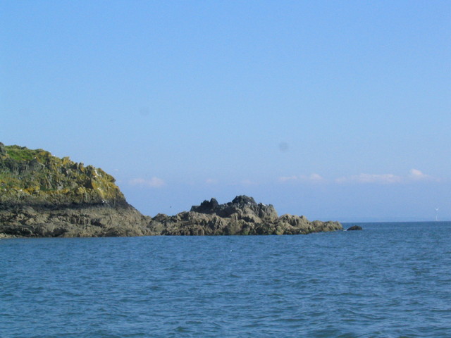
Info about Ravenglass, Harrington, Workington, Maryport, Kippford, Garlieston, Isle of Whithorn, Laxey
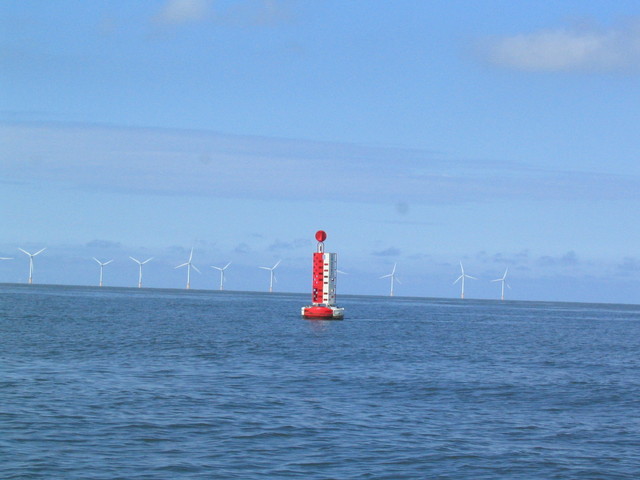
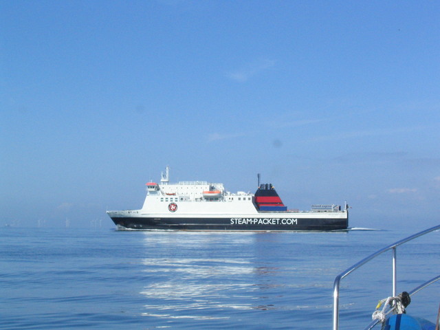
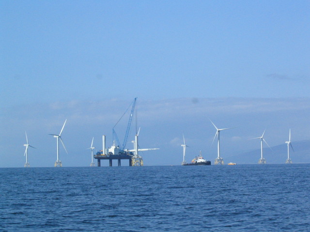
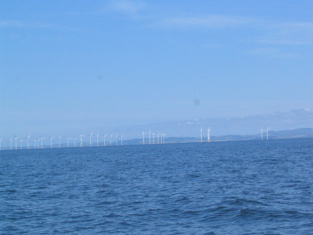
Tue. 26 July: Leave Liverpool Marina 9am. Head out of main channel. Pass Crosby mid-channel Buoy (was a Light Vessel years ago - which was sunk several times but refloated - see Wrecks of Liverpool Bay Volume II.) Then cross training bank near ALPHA buoy to head north to area off Barrow. Explore possible wreck off Barrow. Admire copious wind turbines.
Crosby mid-channel buoy with Burbo wind farm, Manx ferry Ben-my-chree on the Heysham-Douglas run off Barrow, Wind farm construction off Barrow (with unusual bases).
| |
|
|
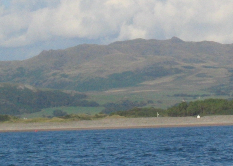
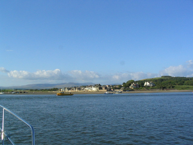
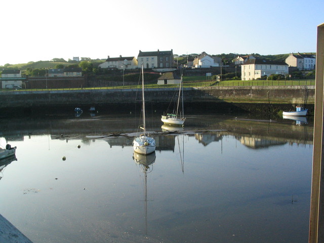
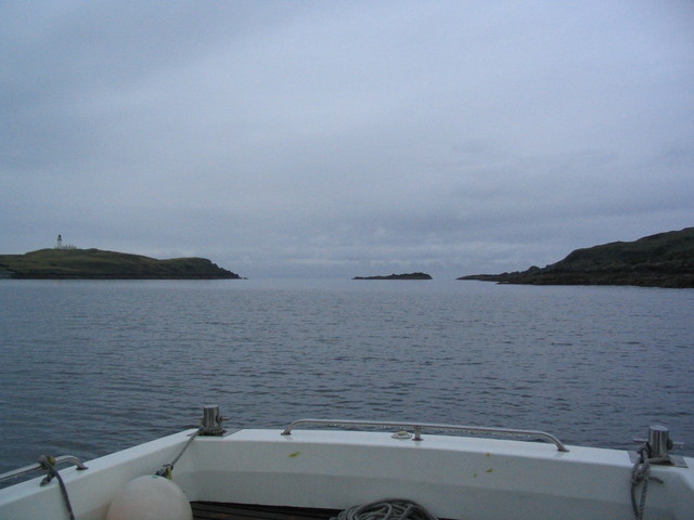
Continue north along the coast until off Ravenglass at 6.50pm. Ask fishing boat off Ravenglass if any alongside berth would be possible at HW - but they said no. So plan to visit a pub for a meal plus drink was rethought. Decide to venture into Ravenglass anyway as tide was making - to see if sailing directions were accurate, etc. Find charted channel was quite close to that needed, and help came from leading line plus red buoy marking turn from leading line to port. Depth 7ft in channel at HW-1.5 (very neap HW). Not too obvious where to anchor/dry out since 4ft in places, so I came back out to continue at 7.20pm up coast past Sellafield.
Ravenglass pilot information. Map of Ravenglass from Google and Bing. Aerial View of moorings
Leading mark for Ravenglass: white pyramid on shore with Yoadcastle peak (here Yoadcastle is triangular peak on mountain behind and is slightly to left of pyramid in photo; zoom in to see red buoy (near shoreline) marking turn to port from leading line also), Ravenglass village, Sellafield. See here for 2013 update.
 |
 |
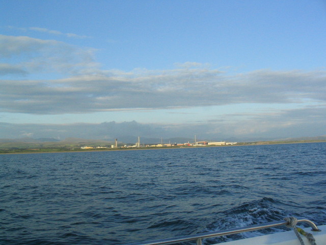 |
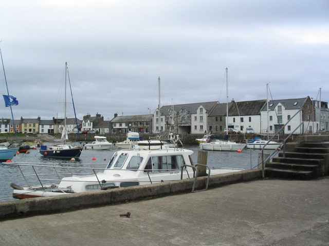
Pass St. Bees head and Whitehaven, then enter Harrington harbour at 10pm (local HW 21.01, very neap tide - 7.4m at Liverpool). Turn to port on entering inner harbour, and surprised to find a floating pontoon with space for me. Minimum depth 4ft on way to pontoon. The pontoon dries at half tide to a muddy bottom. Access to the pontoon is by steps and then a locked gate in a fence. A friendly local gave me the gate code and directed me to the Harrington Sailing and Fishing Club Bar.
For some info about Harrington: Harbour and marina plans, Map of Harrington
Harrington harbour: pontoon, entrance, yachts dry.
 |
 |
 |
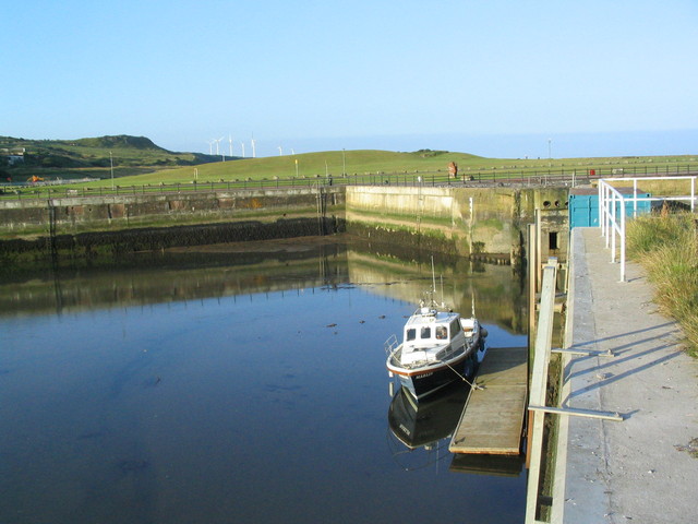
Wed. 27 July: After a very quiet and calm night, leave Harrington 7.42am (local HW-2, neap) with 2ft under keel on pontoon and 4ft under keel on way out. Visit Workington (near local HW neap). Surprised to find that the railway bridge that didn't open any more has now been removed so access to the tidal area with alongside berths is unrestricted by air draft. I had 8 ft minimum on entering this area which is mainly used by local fishing boats.
Map of Workington, (with previous railway bridge now demolished).Continue to Maryport and enter marina at 9.30am (near local HW neap). Staff very helpful and welcoming. The marina has a sill and a flap, although the flap is currently not being used, so entry is free flow - but get permission on channel 12 first. Leave 11.20am when still plenty of water under my keel.
Maryport Marina, Map of MaryportWorkington yacht area, Workington fishing boat area, Maryport marina.
 |
 |
 |
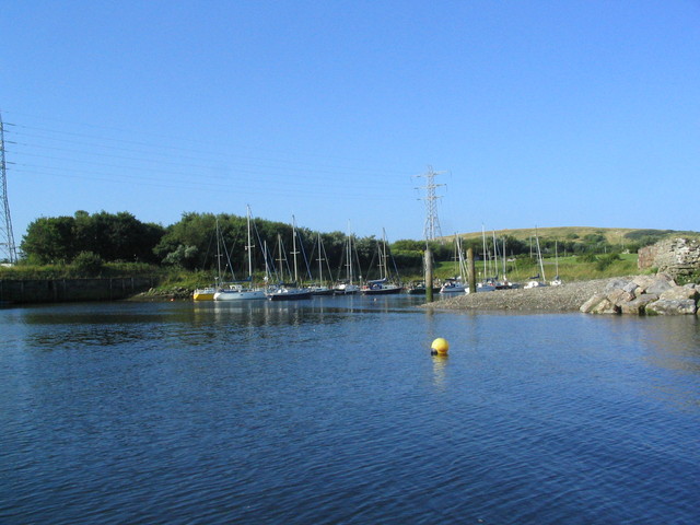
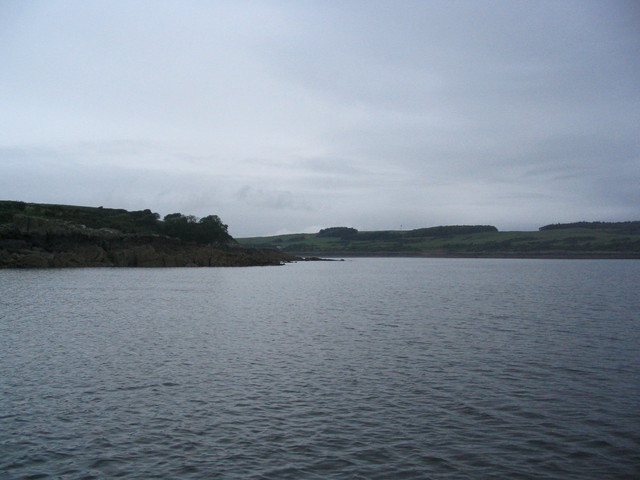
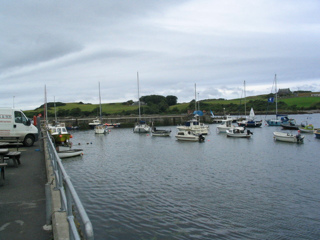
Pass Robin Rigg windfarm (60 turbines) and head for Hestan Island. Find that chart of channels to east of wind farm is inaccurate. Anchor 13.20 to NW of Hestan Island in 12 ft since wind was from SE. Wind veered to SW later so there was a bit of chop. Wait until enough depth to enter Kippford.
Robin Rigg wind farm, Hestan Island anchorage (2 views from it)
 |
 |
 |
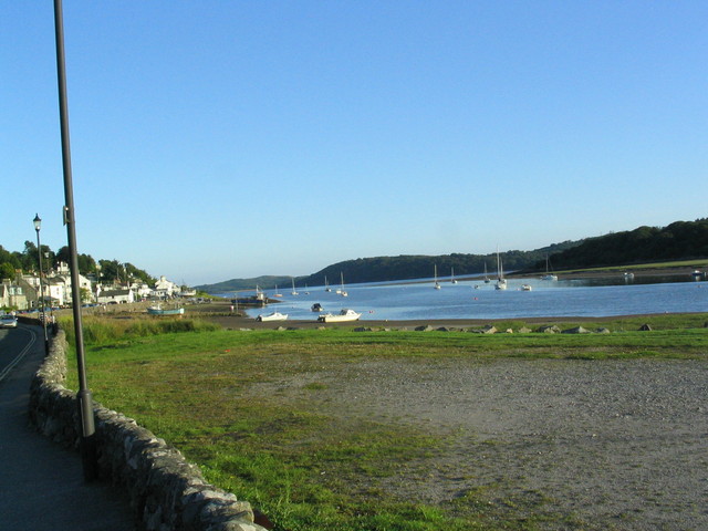
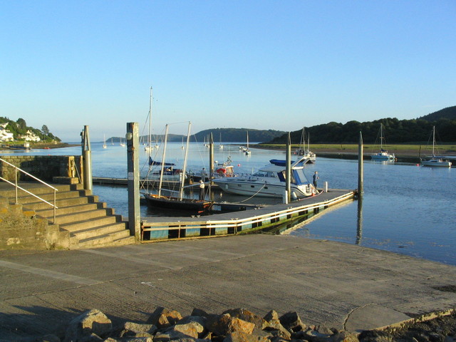
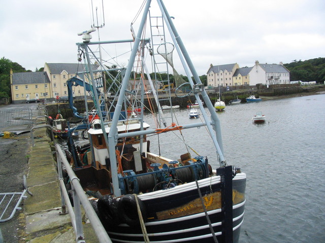
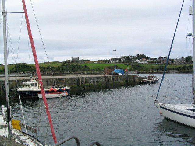
Enter channel to Kippford 7.18pm (local HW 10.13pm). Channel is well marked by buoys and initially follows that shown on chart. The outermost marks are a gate of red and green buoys. My main difficulty was that the sun was shining from directly in front as I sought the buoys in the first part of the channel. Tie up to pontoon at 7.50pm in 5 ft under my keel. Eat and drink in the Marine Hotel and leave at 8.35pm.
Map of KippfordKippford: pontoon, village and Urr estuary
 |
 |
 |
Wind forecast to become NW overnight so anchor at 10.55pm close to shore north of Little Ross Island in Kirkcudbright Bay. Position 54 46.482N 4 05.300W. There seem to be 2 mooring buoys just N of Little Ross, one of them was occupied by a catamaran. Very calm overnight.
Views from anchorage in Ross Roads.
 |
 |
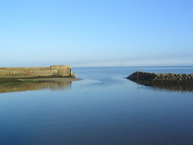
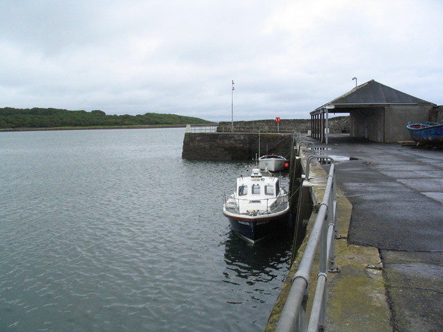
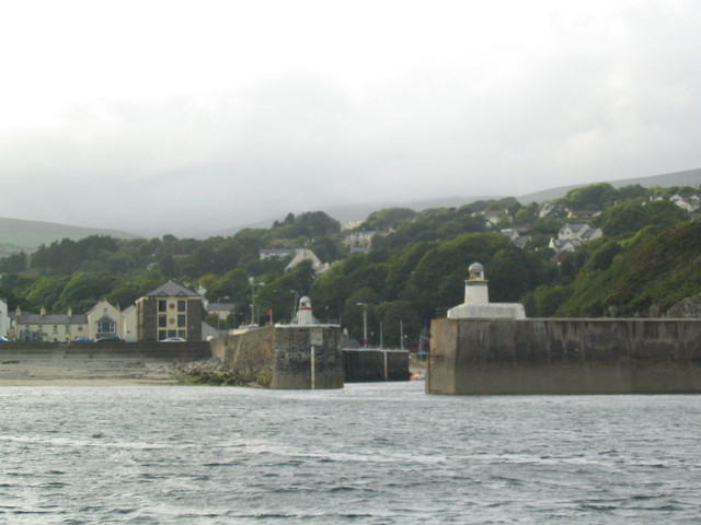
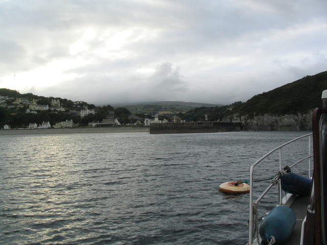
Thurs 28 July: Leave anchor at 7.30 and proceed out through Little Ross Sound. Wind now NW and gusty. Proceed west and visit Garlieston at 8.33. Tie up alongside outer part of pier in 4 ft. Wander around then leave at 8.50. Off Isle of Whithorn at 10.00 - leading marks are two orange diamond shapes on land - tie up alongside harbour wall - in place used by a local fishing boat so move out to end to a free spot in 10 ft. Usual visitor's berth is alongside east wall near steps but 3 yachts were already visting. Local info from Bill Matheson (hon. sec, of South West Scotland Sailing Association who publish the Solway Sailing Directions obtainable from him: more info.).
Map of GarliestonGarlieston: Outer pier, inner pier. Isle of Whithorn
 |
 |
 |
After a meal at Steam Packet Inn, leave 13.08 to anchor just south of the harbour (and clear of leading line) in shelter from NW wind and to wait for a favourable tide.
Map of Isle of Whithorn HarbourIsle of Whithorn harbour (2 views) and view from temporary anchorage off harbour
 |
 |
 |
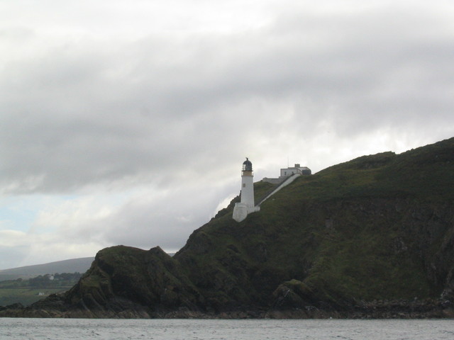
Leave anchorage at 3.45pm and head for Isle of Man. Quite confused sea though not breaking. Head for Ramsey and then decide to continue past Maughold Head to Laxey to get shelter from the NW wind. As I came within mobile phone range of the Isle of Man, my service provider sent me a text giving roaming charges and welcoming me - to Guernsey! At 7.56pm moor to visitor's buoy off entrance to Laxey harbour (only 1 visitor's buoy present). Consider entering Laxey nearer to HW - but wind was gusting down valley through harbour and Laxey entrance channel is tricky with a stone pier on one side and a rock training wall on the other: so decide against.
Map of LaxeyMaughold head, Laxey harbour entrance and visitor's buoy
 |
 |
 |
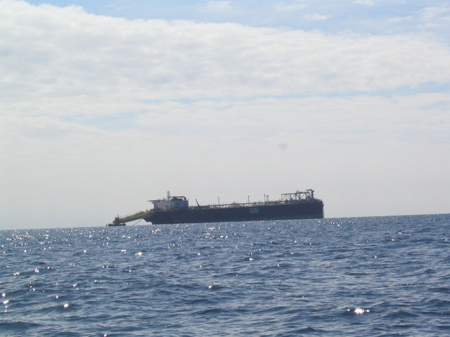
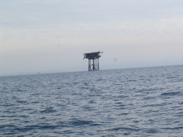
Fri. 29 July: the wind veered NE overnight, so the mooring got a bit less comfortable. NE is a direction where there is little shelter in the Isle of Man - apart from Castletown Bay. Leave 6.45am and head for Liverpool. Lumpy seas at first which gradually got smoother until they became totally calm. Have a go at mackerel fishing towing a paravane behind - initial success then no more. Pass the Morecambe Gas Field then the Liverpool Bay Gas/Oil Field.
Oil Storage Facility, Hamilton North Rig, Formby buoy.
 |
 |
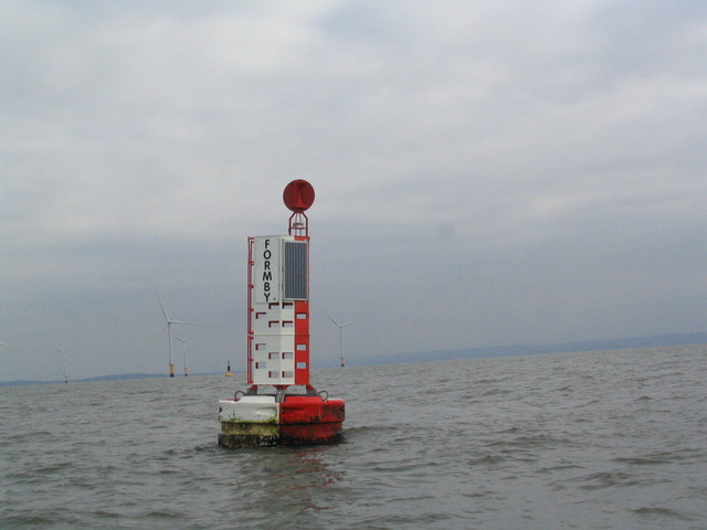 |
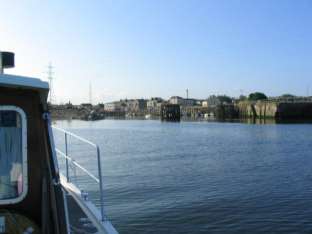
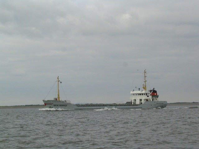
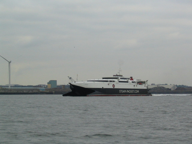
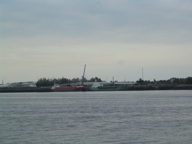
Proceed up shipping channel from Formby buoy at entrance. Pass Isle of Man shipping outgoing: Ramsey Coaster Ben Varrey and Steam Packet Ferry Manannan. Waiting for lock into Liverpool marina, tour Mersey: see 2 coasters aground at the Bromborough Wharf.
Enter Liverpool Marina 9.15pm.Ramsey Coaster Ben Varrey and Steam Packet Ferry Manannan. Coasters at Bromborough Wharf.
 |
 |
 |
If higher resolution versions of the above images are wanted, please contact me. All information given in good faith, but please do not rely on it.
Back to index here