Jump to Rhyl.
Jump to Dee 6-7 May to Bagillt; Dee 22-23 May to Chester and Mostyn.
Tuesday 4 September. Liv HW 5:46(7.6m); LW 12:33(3.0m); HW 18:30 (7.7m). Forecast fairly good for two days so plan to dry out in the Dee estuary and to spend the night at Rhyl.
Into river from marina at 7:30 and proceed out via Rock Channel. Some swell from the north but slight wind and overcast.
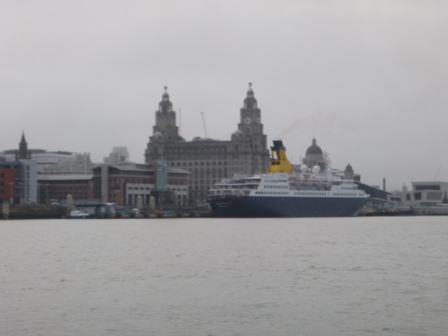
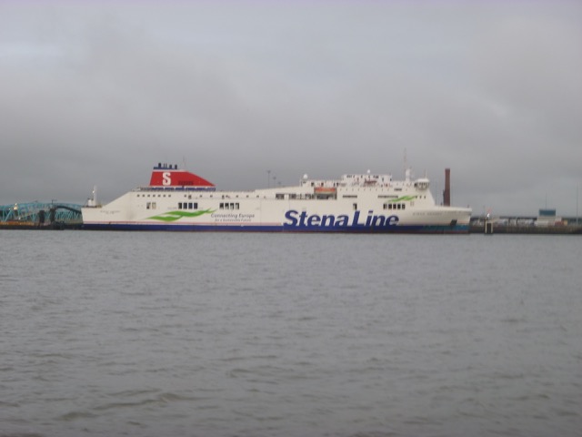
Cruise Liner Saga Pearl II at Pier head; Stena Mersey on Birkenhead berth.


Test out the depth crossing the East Hoyle spit using my waypoint which seems to be the shallowest point.
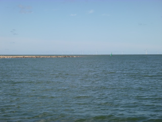
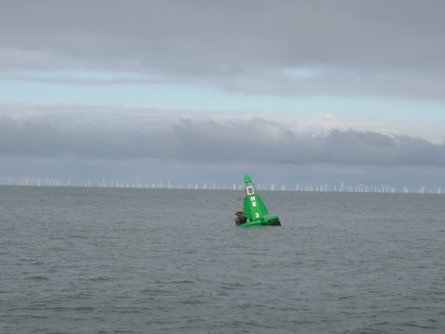
Seal resting on buoy He3 (in Hilbre Swash).
My plan was to dry out on the Hoyle Bank which is sheltered from the
wind and current. I usually plan to dry out so that I refloat in time
to get back to Liverpool marina by first lock (HW-2 hours), so afloat at
HW-3.5 hours. On this occasion, I was planning to head on to Rhyl which
I could enter as late as HW - so I dried out earlier than usual. This
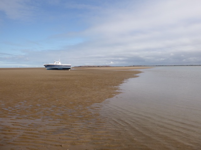
gave me access to a nice sheltered spot (position 53 22.009N 3 14.473W)
where I grounded at 9:50 (HW Liv + 4 hours). There was a light
northerly wind and it became sunny. By 10:20 the boat was surrounded by
sand and I could start "rehoming" the barnacles on my stern gear.
The barnacles got their revenge: shredding some of my fingertips.
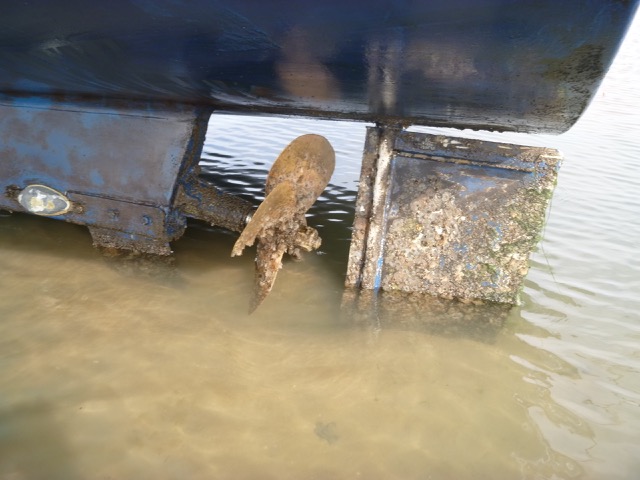
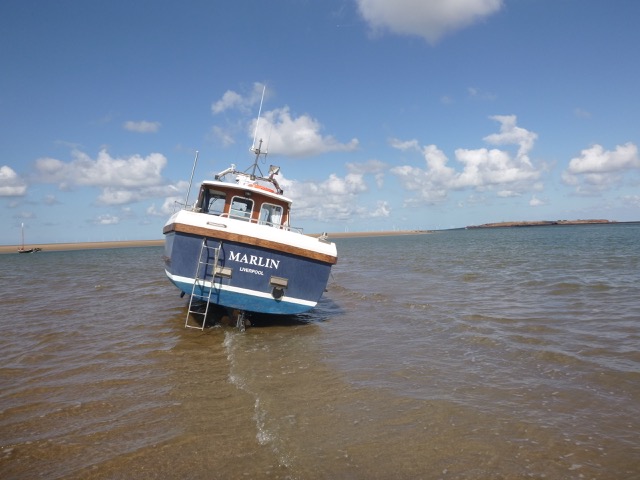
Marlin aground near LW:
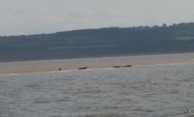
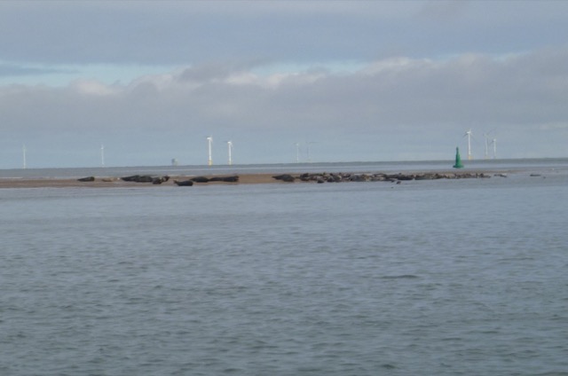
The seals were parked in big numbers on the tip of the Hoyle Bank and
their "moaning" was persistent.
The channel just south of my location was about 3 feet deep at LW and was calm and clear with a sandy bottom - great for a dip to wash the sand off my limbs.
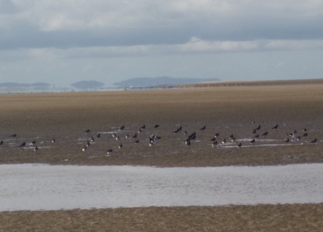
As the tide came in, a big flock of oyster-catchers settled near
my location:
I refloated at 2:35pm (HW Liv - 4 hours). I wanted to go to Rhyl. Many years ago there was a buoyed channel (Welshman's Gut) running along the south side of the Hoyle Bank - all that remains is the short channel that I had used to get to my drying location. To continue directly from there across towards Mostyn, it would have to be closer to HW. So, instead, I followed the deeper water channel around East Bar and West Bar ( more info). The sandbank (called by me "Gut Bank", charted as drying 3.8m, located NW of the DEE1 buoy and east of the gut joining the West Kirby anchorage with the main Dee Channel) was just awash at 3:00 (HW Liv - 3.5 hours) with birds and seals aboard.
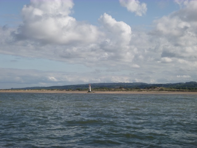
I joined the main channel through the Dee at 3:00 and proceeded outwards, against the current, past buoy West Bar. Off Mostyn I passed the fairway MF buoy (start of the Salisbury Channel into Mostyn). Then Salisbury Middle and then the charted Welsh Channel out passing close to the beach at Point of Ayr.
Point of Ayr Lighthouse:
I kept close inshore (out of the charted channel) to have less adverse current (1.5 - 2 knots in the channel centre). With a making tide, it is safe for me to stray into quite shallow water.
Earwig beacon:
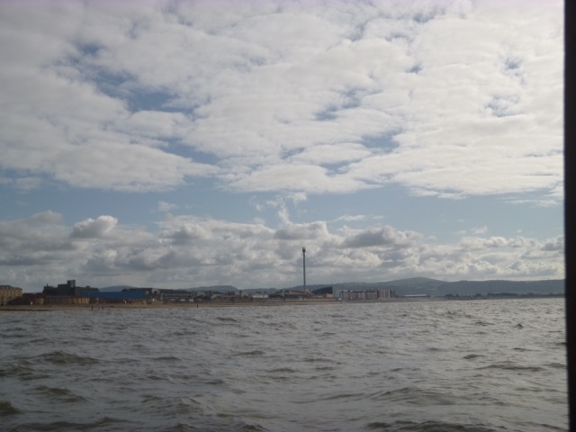
Rhyl:
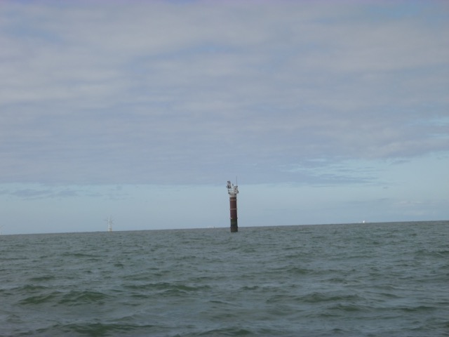
I reached the prominent Earwig pillar at 4:10 and
was off Rhyl by 4:50 (HW Liv - 1:40). I followed the well-marked
channel close to the training wall. There were some breaking waves
close to the way in - presumably where the seabed was shallow.
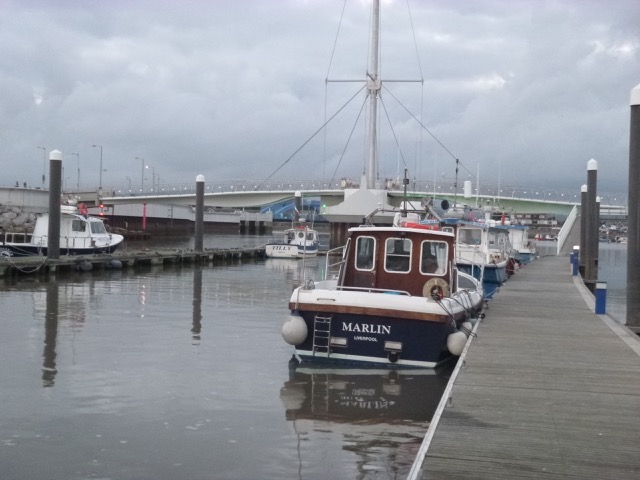
I turned the corner into the sheltered mooring area with pontoons just
before the (opening) foot-bridge. More
Rhyl info.
I chose to moor on the pontoon which is connected to land - on the
north west side, next to Tony Parry's boat Jensen. As I tied up, his
head popped up, he had been doing some preventative work on his
engine, and he offered me advice. The location dries to fairly flat
sand/mud and it is preferable to arrange to lean in to the pontoon when
dry. I had 2.8m under my keel at 5:50 when the current seemed to be slack.
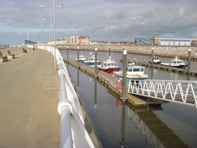
Rhyl Harbour pontoons near HW.
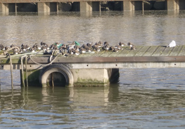
Turnstone "hotel" on the centre pontoon.
The pontoon is connected by a ramp to the quayside, with a gate
opened by a code. I contacted the Harbour Office (after finding that the
phone number given in Reeds Almanac is dud - so with advice from Tony
Parry) and checked in for a one night visit. I believe they get rather
few boats coming in for an overnight stay. Following local advice, I had
a meal at the nearby Mayquay pub - and Tony joined me for a drink later.
A fishing boat came in at 8:35 (HW Liv + 2 hours) to drop off
passengers and then moored on the centre pontoon. It was calm overnight
on the pontoons and I was not aware of when Marlin took the ground.
There seemed to be slightly more water on the centre pontoon, but boats
there dried out too.
Wednesday 5 September: HW Liv 7:14(7.8m); LW 14:04(2.9m); HW 19:57(7.9m).
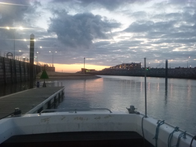
Dawn at Rhyl; Lifting Bridge.
At 6:50 the current seemed slack and depth under my keel was 2.8m.
I set off at 8:03, shortly after HW, and left Rhyl. There were
significant waves heading south and the exit channel had breaking water
close to the deepest route. My plan had been to head for Rhos, anchor
off, and go ashore in my tender. The sea state was worse than I
expected (0.6m waves at Liverpool Bar at 09:00), so I decided to skip
Rhos and head back into the shelter of the Dee estuary.
I entered the Dee via the Welsh Channel and passed Earwig at 9:05,
Point of Ayr at 10:25 and West Bar at 11:00. I again kept close inshore
to have less adverse current. As I turned to head north to East Bar, I
again noticed that the bank (Gut Bank as discussed above; NW of DEE1
buoy) was again dry (at HW Liv + 4 hours) and it had a handful of seals
resting on it.
Seals on the smaller bank (Gut Bank):
With, now favourable current, I arrived near He4 (with the seals
on the corner of Hoyle Bank nearby) at 11:25. I anchored with 0.9m
under my keel, calculating that the boat location (53 22.062N 3 14.220W)
would just be awash at LW. Weather was sunny periods with a N 3 wind.
With protection from the (dry) Hoyle Bank, this was a sheltered spot.
Marlin aground; seals on Hoyle Bank near He4 buoy.
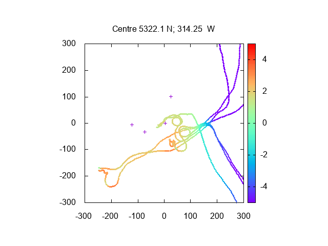
Summary of my 2018 results for depths close to the Hoyle Bank.
Depths reduced using Liverpool tide gauge (10 minutes later); distances
in metres
I hopped overboard for a bit of hull "improvement" around LW with
about 6 inches of water depth around the boat. By 3:30 I was afloat
again and set off slowly via Hilbre Swash; crossing the East Hole Spit;
then round the North Bank into the Rock Channel.
At 6:15 I locked into Liverpool Marina with Discovery; a yacht;
Marine-Fire-1 and a small motor boat.
Total trip 27.8nm (Tuesday) plus 32.4nm (Wednesday).
A record of the depth and track of my voyages are available from
teamSurv
If higher resolution versions of the above images are wanted, please
contact me. All information given in good faith, but please do not
rely on it. Back to index here
