Thursday 2 July (Liverpool HW 12.02 9.0m)
Enter river from marina at 10.15 and head up Garston Channel.
Calm weather. Dredger UKD Orca was at work, and appeared off Garston
having come from the south west (after dumping?). Leave Garston channel
at G11 (SHM) and head for waypoints MER0,...MER7. (see here for navigation info, some
history and more photos).
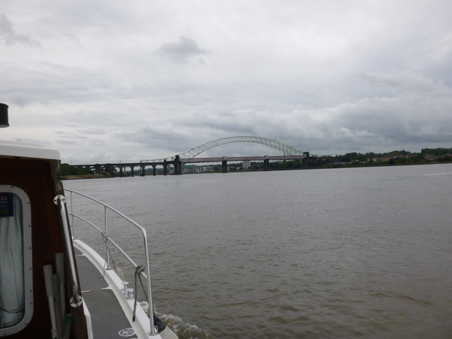
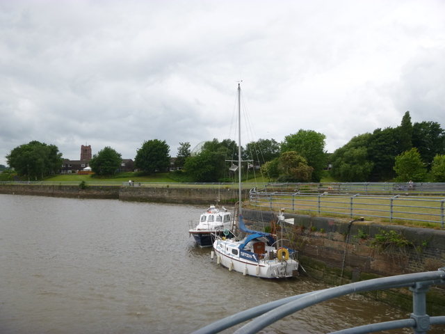
Cross south of Hale Head at 11.15 and proceed along north bank up to the Runcorn bridges. Go through south arch (of three) of the railway bridge at 11.42. Follow south bank until just past (abandoned) lock into Ship Canal, then head north towards church (with tower) on Widnes bank and then follow shore towards Spike Island. There are three "openings" here: western is filled in lock, middle is active lock and eastern is entrance to abandoned dock. Two yachts were tied alongside, possibly waiting to lock in. So, rather than tie up in (active) lock entrance, I went alongside the wall to the east -- where there was a ladder.
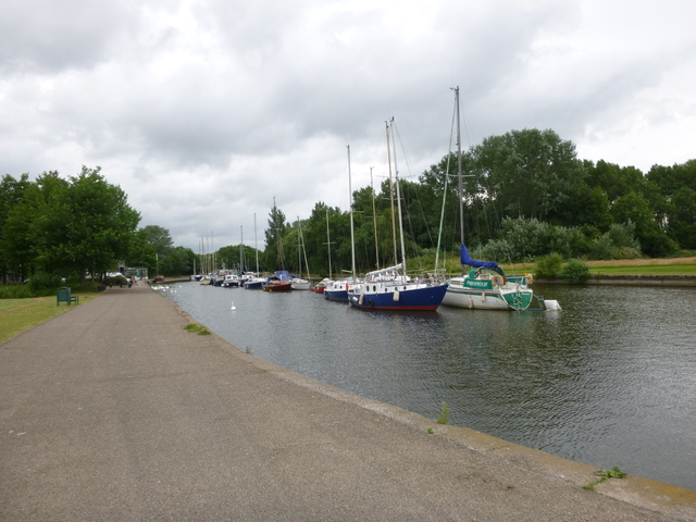
The bridges from downstream; Marlin alongside.
| |
|
|
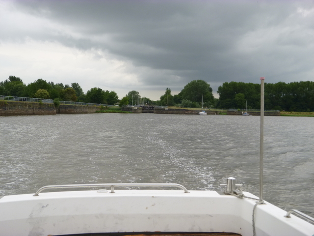
Spike Island: the lock entrance, boats in the canal and view leaving
 |
 |
 |
Ashore 11.55 to 12.30: grab a bite in the Catch Cafe. Then return with initially some adverse current. By 12.55, close to my waypoint MER7, I encountered slack. Soon the current began to pick up helping me along. In order to be sure to get in to Liverpool Marina lock, I increased revs for a while in the Garston Channel, arriving off the lock at 2.03.
On this trip I had a least depth of 2.2m under my keel (so 2.9m water depth) and that would have been increased if I had followed my waypoints a bit more closely.
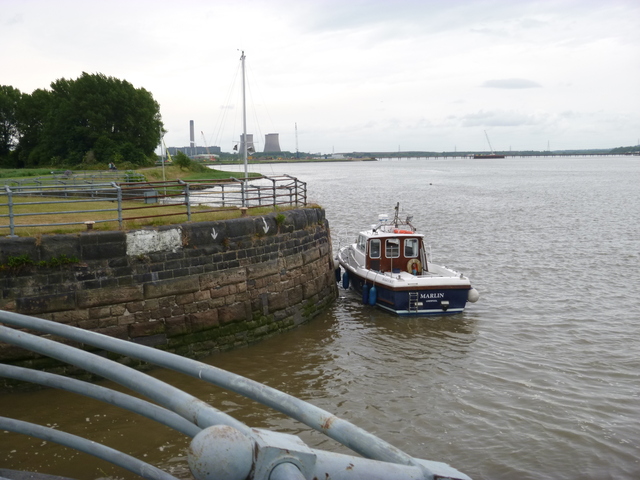
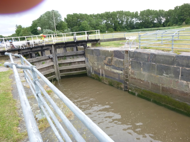
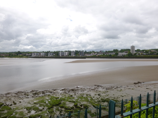
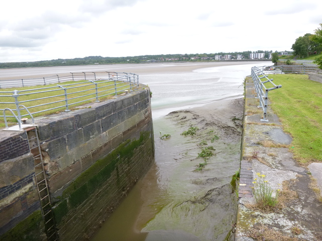
Images taken at LW (neap): view across the Mersey from the Widnes shore near the church tower; entrance to Spike Island lock.
 |
 |
If higher resolution versions of the above images are wanted, please contact me. All information given in good faith, but please do not rely on it.
Back to index here