1 Thursday 21 April (Liverpool HW 11.45 8.9m). Wind E 2;
some sunny periods.
Enter river from marina at 10.08 and head up Garston Channel.
Calm weather. Leave Garston channel at G11 (SHM) and head for
waypoints MER0,...MER7. (see
here for navigation info, some history and more photos).
There was a small yacht sailing west of Hale Head.
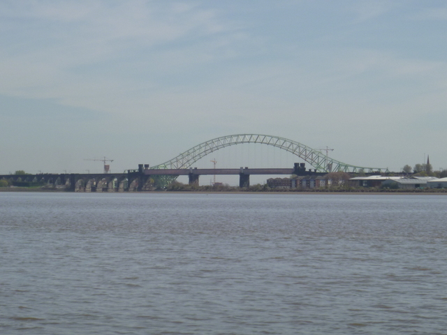
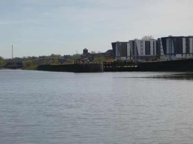
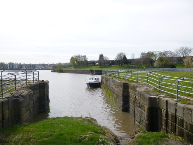
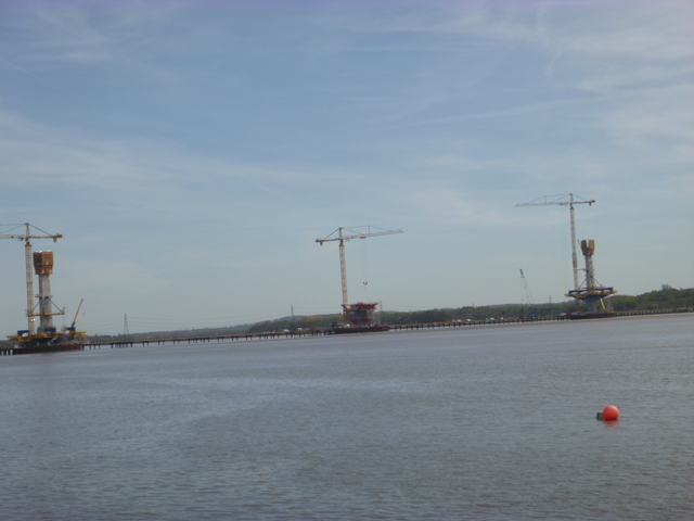
Cross south of Hale Head at 11.10 and proceed along north bank up to the Runcorn bridges. Go through south arch (of three) of the railway bridge at 11.36. Follow south bank until just past (abandoned) lock into Ship Canal, then head north towards church (with tower) on Widnes bank and then follow shore towards Spike Island. A rib (possibly a safety boat for the new bridge construction) came past me. There are three "openings" here: western is filled in lock, middle is active lock and eastern is entrance to abandoned dock. Rather than tie up in (active) lock entrance, I went alongside the wall to the east -- where there was a ladder. There are some shallower parts quite close by.
The bridges from downstream; the lock (abandoned) to the ship canal.
| |
|
Marlin at Spike Island; the New Bridge under construction
 |
 |
Ashore 11.55 to 12.05, waiting for the current to slacken. Near
Spike Island there is a back eddy with less current. Proceeding above
Widnes is currently tricky since the construction of the new bridge has
limited air draught. This will be improved when construction is
finished.
Then return with initially some adverse current. To make best
progress against the current, I upped the revs to give 9 knots through
the water for a half hour. By 12.28, close to my waypoint MER7, the
current was almost slack.
Soon the current began to pick up helping me along.
I arrived off the Marina lock at 13.35.
Distance run (over ground) 27 nm.
On this trip I had a least depth of 2.0m under my keel (so 2.7m water depth) (except when turning near the wall at Spike Island: keeping closer to the shore would have given more depth) so my waypoints seem to be sufficient for 2016. The waypoints do not represent the best route - just a sufficiently deep route for my purposes. Do not rely on them.
A record of the depth and track of my voyage is available from teamSurv
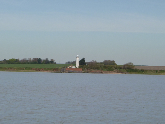
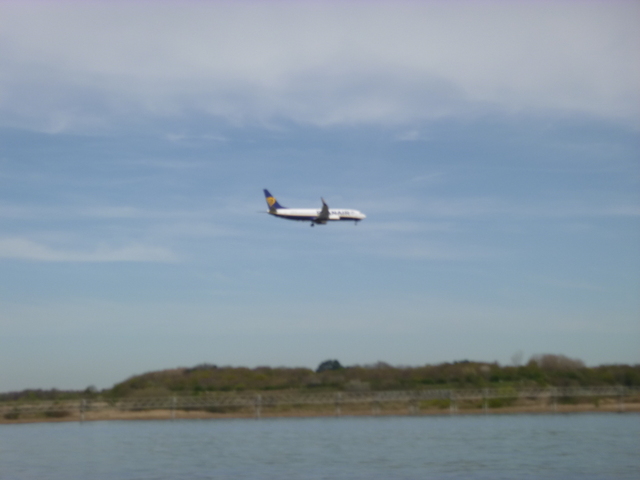
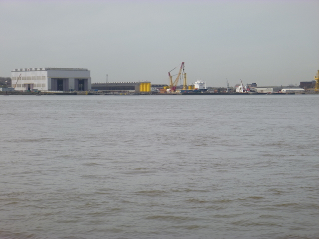
Hale Head Lighthouse (disused); Ryan Air flight landing at Liverpool Airport over the water (gantry is a bit out of focus); Windfarm construction at Cammell Laird.
 |
 |
 |
2 Monday 31 October (Liverpool HW 11.16 9.2m). Wind SE 2;
foggy then some sunny periods.
Enter river from marina at 10.08 after fog cleared and head up
Garston Channel (passing a survey boat outgoing). Calm weather. Leave
Garston channel at G11 (SHM) and head for waypoints MER0,...MER7,
following the track between them closely (thanks to my new autopilot).
(see here for navigation info,
some history and more photos).
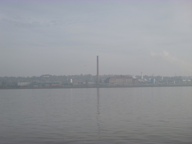
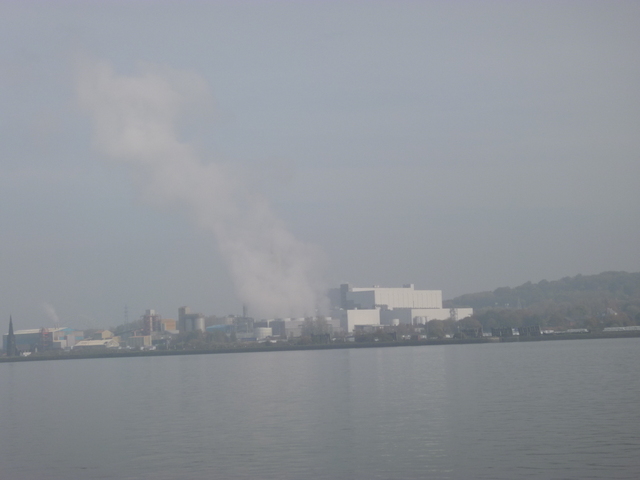
Chemical works at Runcorn (foggy):
 |
 |
Cross south of Hale Head at 11.10 and proceed along north bank up to waypoint MER7. Following the waypoints closely, I had least depth under my keel of 2.0m [between MER6 and MER7]. To have enough time to get back before the marina lock would be closed, I turned here at 11:27 and headed back with, initially, adverse current. On the way back, I followed hints from the sea-state to try to find deeper water. I did indeed find deeper water in several areas, but the route along the waypoints has a similar least depth. Lock into marina at 13:00.
If higher resolution versions of the above images are wanted, please contact me. All information given in good faith, but please do not rely on it.
Back to index here