Tuesday 22 June (Liverpool HW 09.30 8.8m; LW 16.29 1.6m; HW 22.03 8.9m). Mostly sunny, NW wind and sea breezes.
Enter river from marina at 10:30am with no other boats. Head out of the Mersey via the main shipping lane.
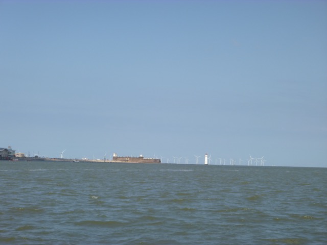
I arrived off New Brighton at 10:50.
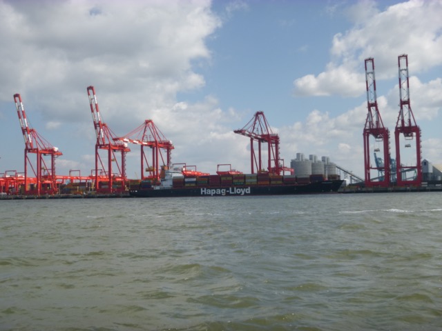
Container vessel Ottawa Express (235 x 32m) on the Seaforth
in-river container terminal
I then entered the shipping channel. The wind was NW with the sea-breeze adding to it close to shore.
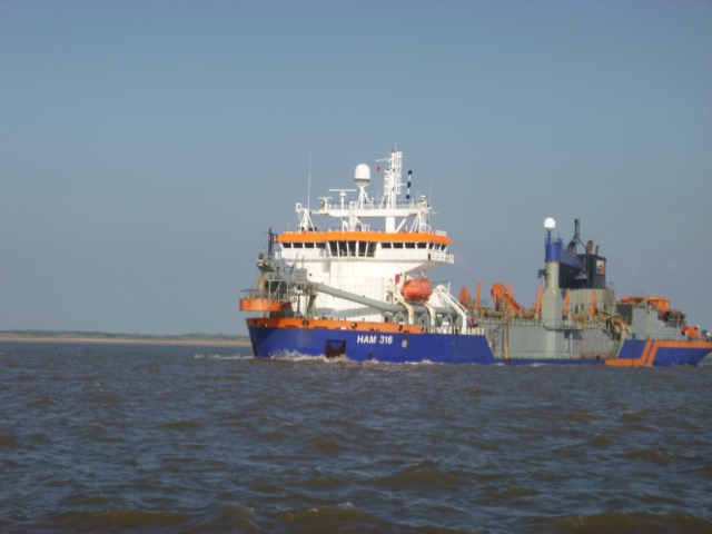
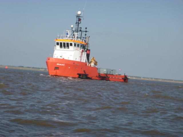
Looking out along the channel, there seemed to be a ship lying across it. On closer inspection, this was the large suction dredger HAM 316 (128 x 22m, 13700 tons dwt). The water injection dredger Iguazu (43 x 10m, now owned by Port of Liverpool) was working nearby. They were working on the "green" side near the bend - so no problem for me heading out.
Images of HAM 316 and Iguazu (taken on my return, when I was closer
to them):
I was also met a pilot vessel (Kittiwake, 18 x 5 m, 25 knots) incoming.
I reached buoy ALPHA by 11:55, and headed north, crossing the training wall and sand bank. Info about crossing wall.
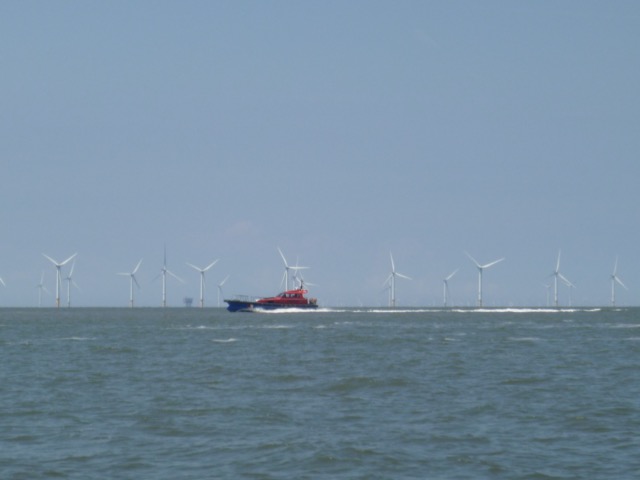
Lennox oil/gas rig
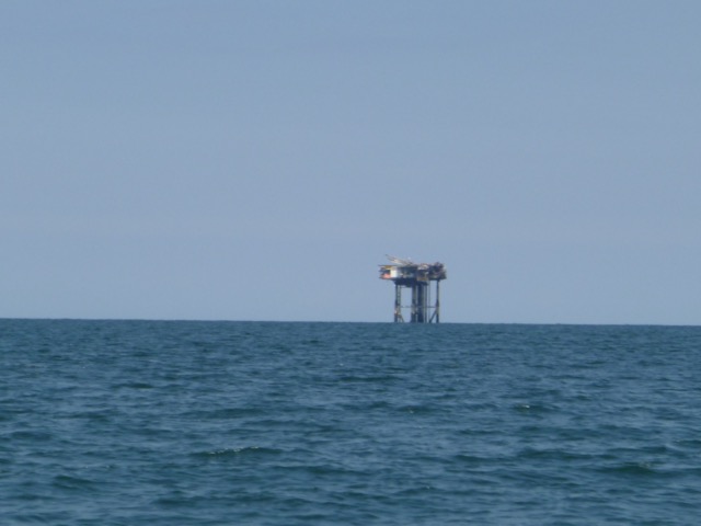
I passed inshore of the Lennox oil/gas rig, then approached
the entrance to the Ribble Estuary. My plan was to explore the bar
(entrance) area to see if more details of a low water channel could be found.
It was about 1:37 when I arrived: LW (liv) - 3 hours. What I found was
that it was rather too shallow for a full exploration - but I could
check that previous depths had not changed significantly.
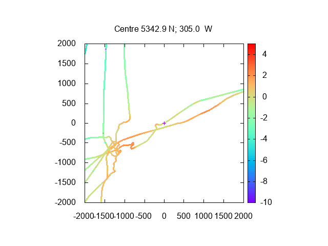
I then headed about 4 miles north to explore the wreck, charted since 2012 at 1.4m
below CD. This is about 2.4km south-west of Blackpool South Pier, at
53°46.75N, 3°5.07W.
Unfortunately, the strong sea breeze added to the NW wind,
made it rather choppy at that location. I was able to check that the
visibility was reasonable - 2m or so at the surface - (unlike just off the Ribble mouth where the
sea was very muddy when I passed). There also seemed to be very little current at that
time (Liv LW-1:45).
My 2021 depth survey is here (depths in metres below CD using tidge gauge at
Liverpool):
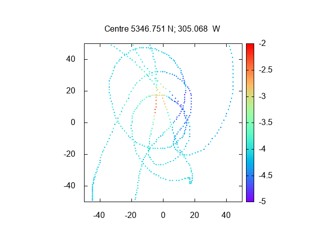
This plot agrees nicely with my 2020 survey report.
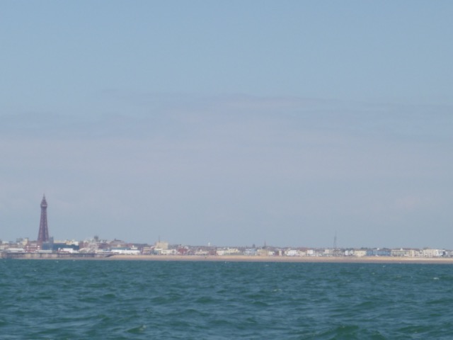
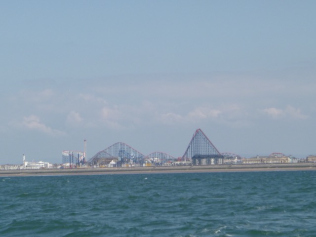
From the wreck location, views of Blackpool (Tower and S Pier; Big One):
I left the wreck site at 2:50 and headed more offshore to get less wind. It was still sunny but with about 1 foot waves [max 0.42 metres at Mersey Bar recorded], that were sometimes beam on.
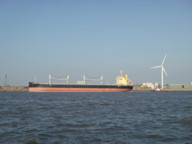
Rather than cross the training wall, I decided to pass around its western extent, since I had plenty of time. I entered the shipping channel near Formby buoy at 6:00. I heard vessel Woody reporting that it was inbound - funny name - it was a bulk carrier (37000t dwt, 178 x 30 m) that slowly followed me in - and asked Iguazu and Ham 316 to "budge over".
I cut the corner by passing outside the green buoys - and was a bit surprised to find the water was very shallow quite close to C7 buoy. I passed Iguazu and HAM 316 at around 6:40
As I approached New Brighton, a large bulk carrier (Lowlands Angel
200 x 32 m 61000 tons dwt) was waiting off Seaforth
I reached the marina and entered the marina lock at 8:00pm with two other small motor vessels - one reported that mackerel are about. The lock opened earlier that expected - presumably since the onshore breeze had built up the tide sooner.
57.0 nautical miles run, mostly at low revs, so fuel efficient.
If higher resolution versions of the above images are wanted, please contact me. All information given in good faith, but please do not rely on it.
Back to index here