Tuesday 3 Sep (Liverpool HW 10.48am, 8.3m; 23.04, 8.7m). Calm
weather.
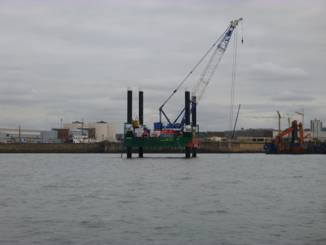
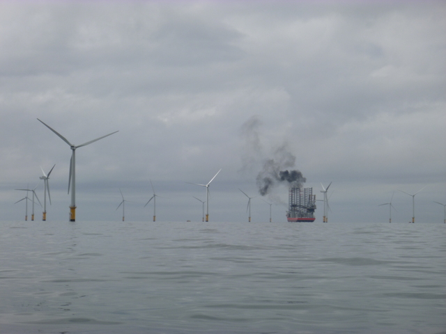
Enter river from marina at 11.54 and head out. Pass jack-up
rig working off the Docks and another working on the Burbo wind farm.
Calm weather.
View of jack-up rig working off the Docks and another working on the Burbo wind farm (which is blowing off some nasty smoke).
| |
|
Survey wreck sites and arrive at Gut Buoy off Ribble at 5.40pm. A yacht was also waiting there so I hailed them to ask if they were locals with useful knowledge -- they were just about to complete a round Britain trip and were heading in to Tarleton to enter the canal system: so they had never been into the Ribble before. I had not entered the Ribble since 1995. I followed information from the Almanac and Ribble estuary guide information.
I can take the ground and the sea state was calm so decided to head
in at 6.20pm (Liv LW+60). I headed for the advertised waypoint E and
found pretty shallow water to the west of it. I was aground at 7.00pm
and bumped off again soon afterwards. I passed 2 fishing boats (of
which more later) aground on the bank to the south supporting cocklers.
I bumped my way up the Ribble with a current of up to 3 knots in
places. At such a tidal state, it is easy to see the (partly ruined)
training walls at the edges of the channel. I passed the Douglas fork
at 8.25 and was near Preston by 9.35 by which time it was dark. I
floated off the shallows near the dock entrance and headed for the
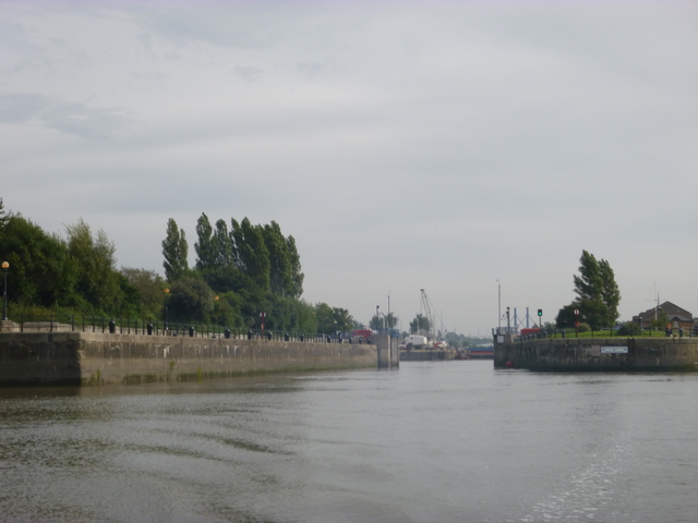
entrance (south side since north side was dry). At the head of the
"bull-nose" there was a strong whirlpool, which turned me around, so
that I ended up backing into the lay-by at 9.45 (Liv HW-80).
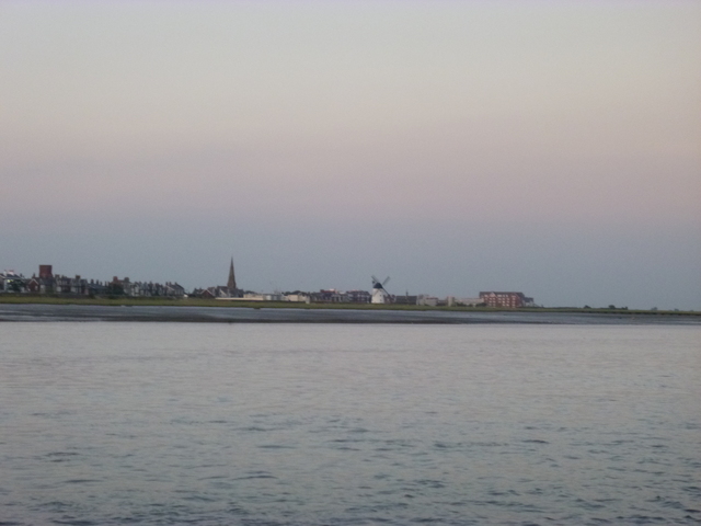
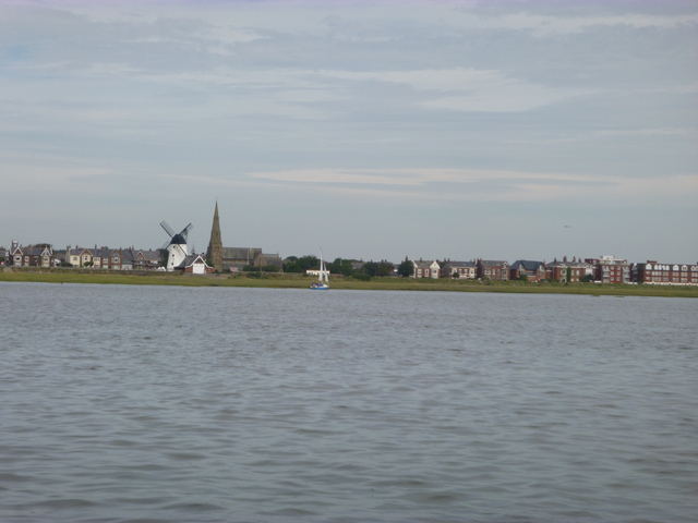
Fishing Vessels on the bank; Lytham windmill; Fishing vessel in the lay-by at Preston (at LW).
 |
 |
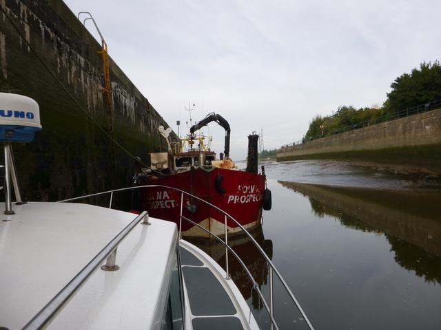 |
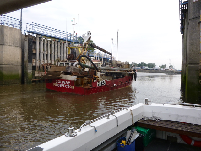
The lay-by is outside the outer pair of gates (which were shut) and has a ladder with two floating mooring rings (on vertical steel poles). It has a least depth of 2m at LW (which is a long stand at Preston) alongside the S wall. Because I had been told (by Preston marina) that some FVs would share this berth, I moved as far in as I could and left the ladder free. Two FVs duly arrived after about 10.30.
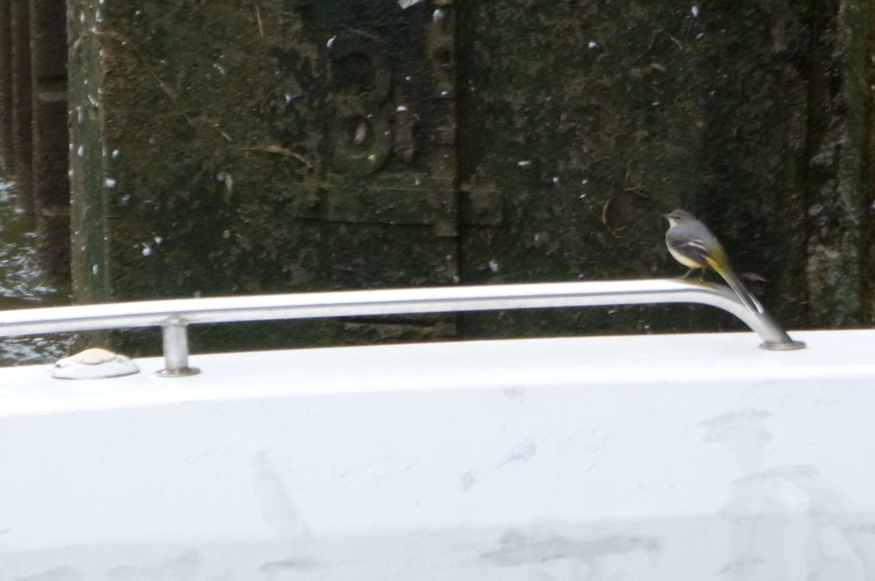
You don't only get seagulls perching on your boat here; FV entering outer gates; MARLIN alongside lay-by (nearer to HW when I had moved alongside the ladder).
 |
 |
 |
Wed 4 Sept (Liv HW 11.23, 8.7m). I noticed that the low water stand ended at 9.43am (HW Liv-100) in the layby and the level had risen by 1 metre by 10.10 (HW Liv-70). Note that on some big spring tides there is a tidal bore in the Ribble which reaches up as far as Preston. The lock gates opened at 10.18 (Liv HW-65; summer opening is advertised as from Liv HW-60 to Liv HW+120 when HW is between 7am and 8pm) and, after a survey vessel had left, the FVs took turns to go into the inner lock to unload their cockles.
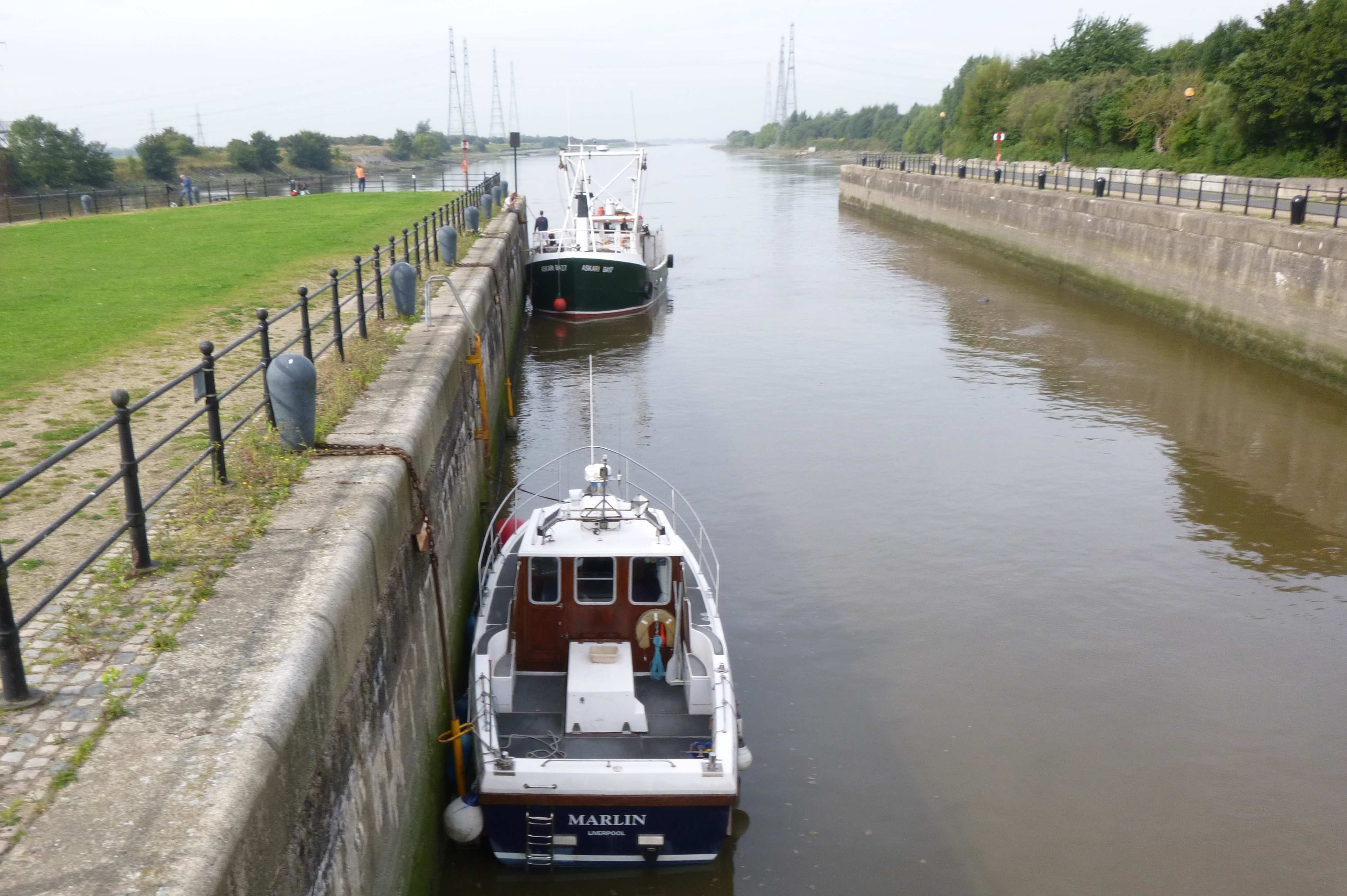
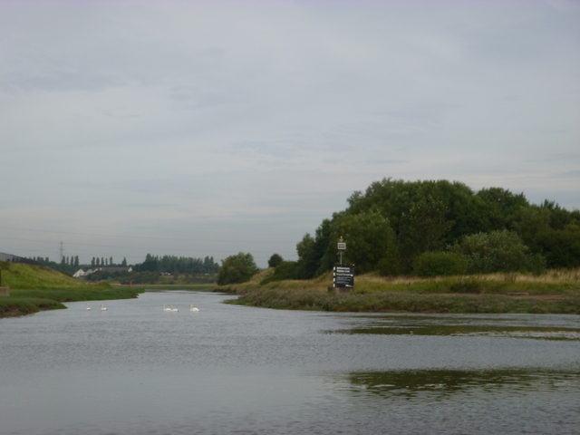
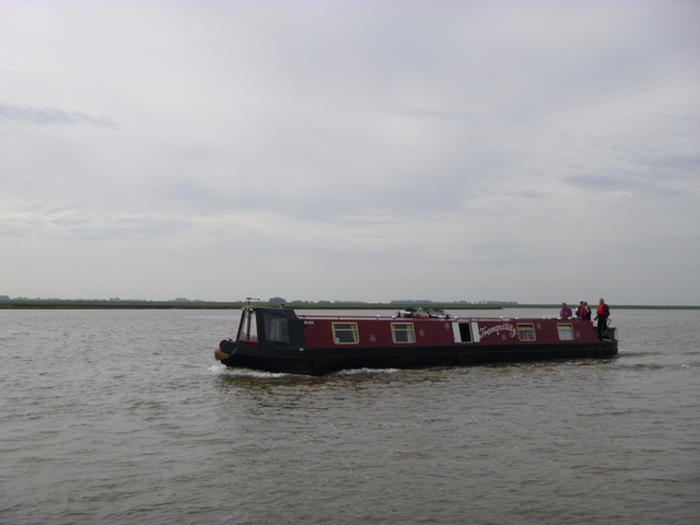
Calm weather. Leave at 11am with adverse current. Pass Savick Brook entrance (Millenium Link for canal boats to access the Lancaster Canal) at 11.20. Current slack about 11.35. Pass canal boats, entrance to Freckleton (at 11.50) and head out. There were no boats moored off the Lytham (Ribble Cruising Club) ramp but some going up Lytham creek. Reach Gut buoy at 13.20 (Liv HW+120). Least depth under my keel was 3 metres on way out (in the Ribble near Preston Dock).
Entrance to Preston Dock at HW; entrance to Savick Brook (Millenium Link); a canal boat in transit to the Millenium Link.
 |
 |
 |
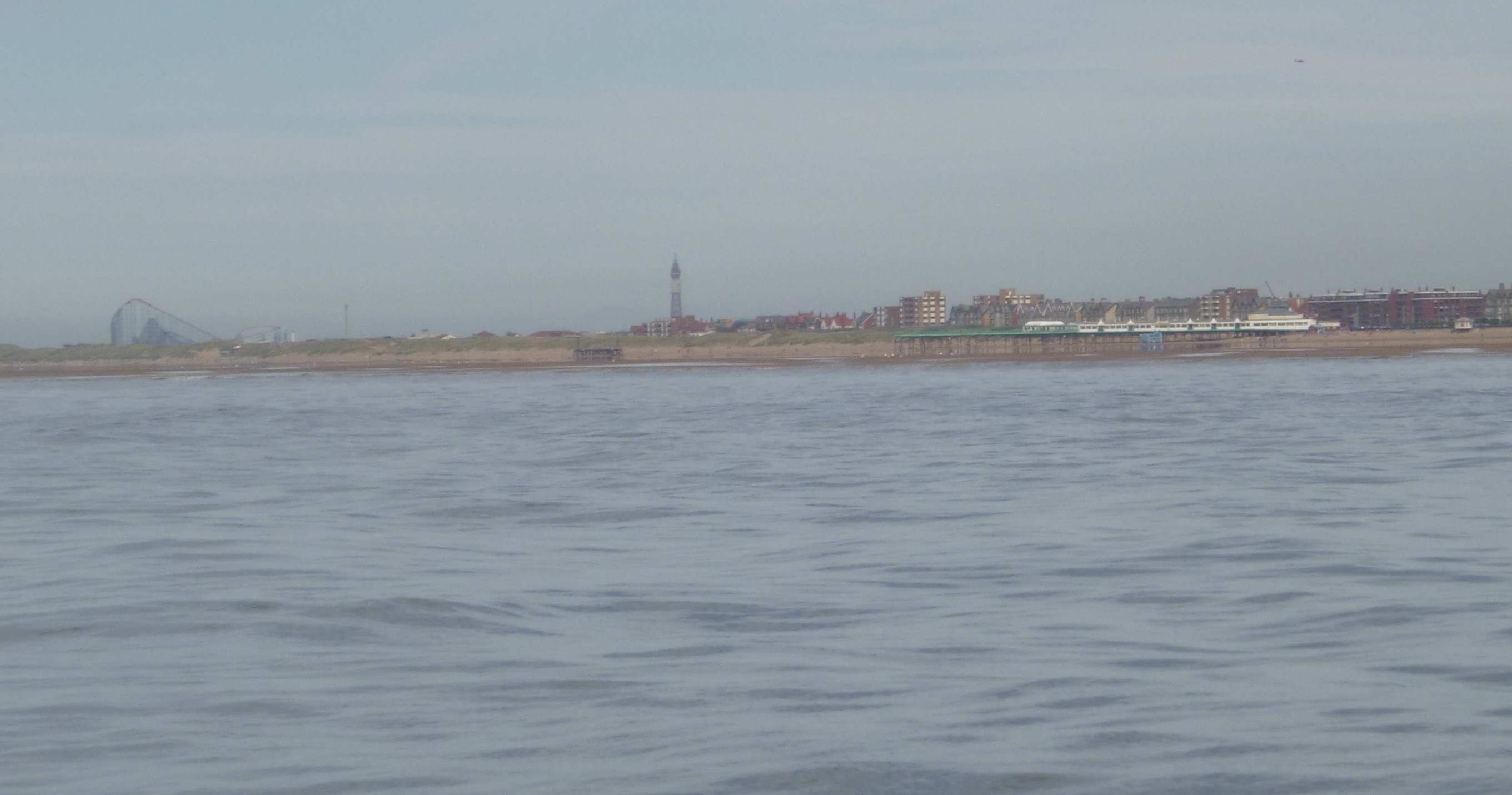
Entrance to Freckleton; Lytham with boat heading into Lytham creek; St. Annes pier with Blackpool behind.
 |
 |
 |
Survey wrecks, fish (little success) and head in to the Mersey to lock into Liverpool Marina at 9.35pm.
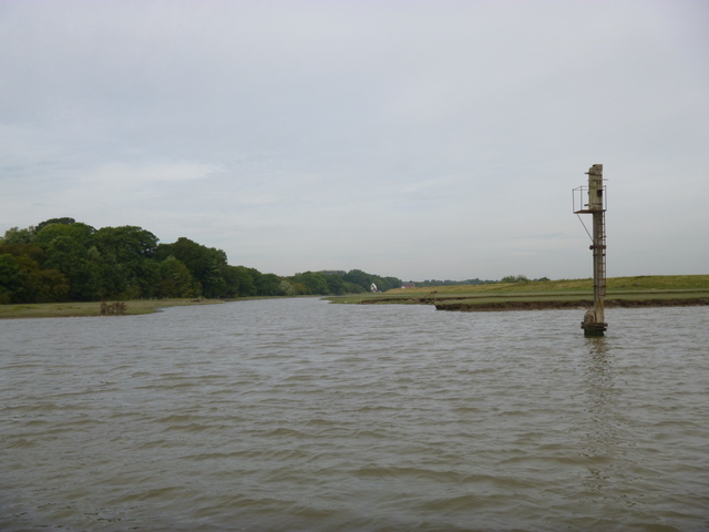
The recommended channel into the Ribble is now from the Gut buoy up the channel between the (partly ruined) training walls passing waypoint E. I noticed that a local boat passed through the gap in the south training wall (the one used in the previous south gut access route ) and then followed the south side of the south training wall. I would be interested to hear if this is considered the best route by locals.
Note also that chart plotter information is NOT reliable in the Ribble. Mine (chart updated 2013) showed positions of the training walls that were sufficiently inaccurate to be misleading.
If higher resolution versions of the above images are wanted, please contact me. All information given in good faith, but please do not rely on it.
Back to index here