Jump to April ; June; July;
August, September.
Saturday 8 April. High pressure at last. Leave Liverpool Marina at
11.35 (HW 10.17 8.6m). Proceed past New Brighton (at 12.03) and through
Rock Channel (following my waypoints Groyne, Chip, Corner).
Sunny and slight wind.
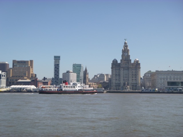
Liverpool waterfront with ferry.
MARLIN trip into Dee estuary April 2017
 |
I decided to cut across the North Bank, proceeding directly from Corner to He3. This had least depth of 2.5m under my keel at that tide state.
I could see the Burbo Bank Windfarm extension and many turbines
were rotating. There was no obvious sign of work on the site - which is
good news for diving in Liverpool Bay.
After passing HE3, the current was adverse - about 1-2 knots. Pass
Hilbre Point at 13.15 and proceed to He4. The nearby part of the Hoyle
Bank was still just covered but the seals were lying on top of it in
shallow water. I surveyed the area just S to SE of He4 looking for a
good spot to dry out later. The SE edge of the Hoyle Bank seems to have
moved SE a bit since 2016. In essence, the channel draining water out near
LW seems to have shifted: it used to run very close to the Hoyle Bank
edge whereas now it runs out some way from the Bank edge.
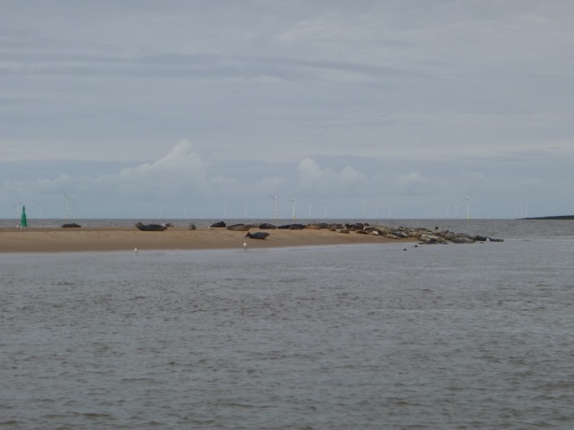
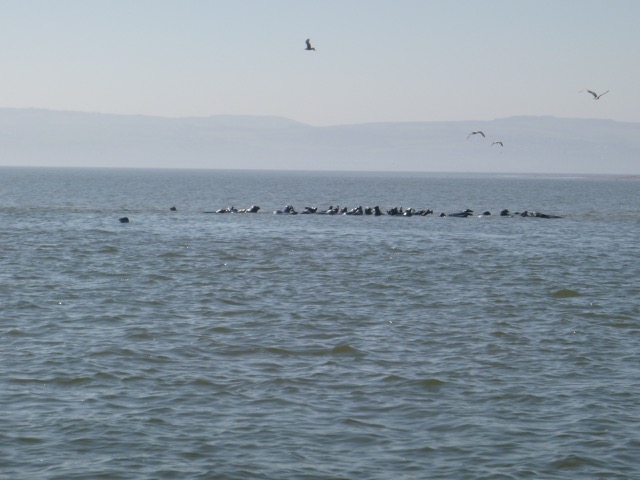
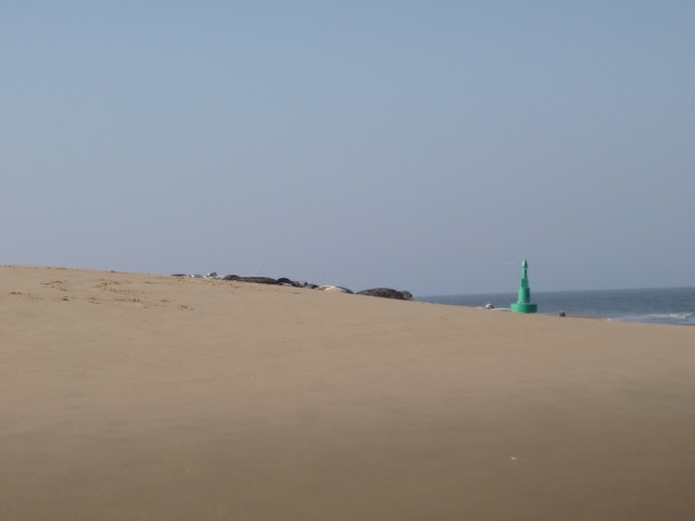
Seals on Hoyle Bank (awash)
 |
At 13.45 (HW+3.5 hrs), I moved further into the Dee estuary to check
whether the channels available in 2016 were still viable. See here for more info about Dee navigation.
I passed my waypoint DeeGut (53 21.174 3 13.672) and found the channel
(sometimes called East Bar) to be still viable but the bank to the east
of it has moved and got higher: sand was visible.
I proceeded on to the charted channel (my waypoint Dee12 53 20.198
3 12.028) and found that this still has deep water. I then returned to
cross the charted spit near buoy Dee1. In 2017 the lowest part of this
spit was DeeX (53 20.600 3 12.351) and I crossed here. The least depth
was 2.1m under my keel at 2:20.
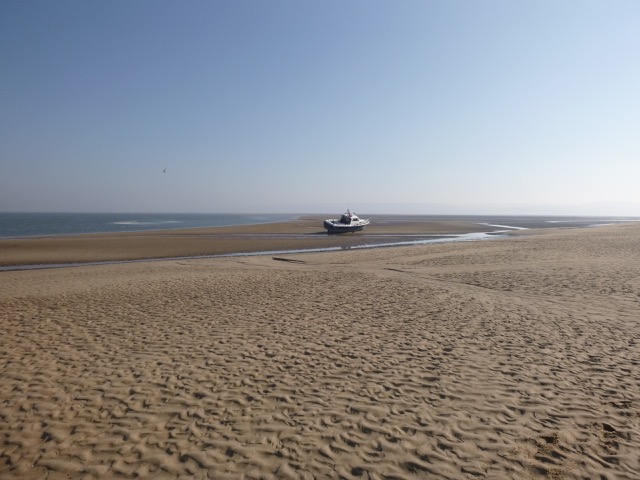
By 2.40pm, I was approaching He4 [SE corner of Hoyle Bank with seals nearby] and I followed the South edge of the bank westwards as previously. I ran gently aground in a sheltered spot (as planned) at 2.40pm [HW+4:20; 53 22.155N 3 14.227W]. This location was on the edge of a slight slope -- so 10m or so further South would be better if a flat location is needed.
MARLIN was completely dry by 3.15pm and I was able to walk around
on firm sand and do some boat chores. It was sunny but the sea breeze
was cool.
The channel/gut running S of Hoyle Bank was clearly visible at LW
[1.3m; circa 5.15pm]-- and is different from 2016. There is only a
shallow channel where I dried out - the main channel snakes away from the steep
edge of the Hoyle Bank.
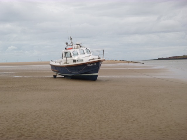
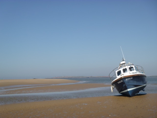
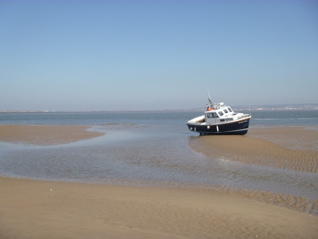
Marlin aground: view towards Hilbre (and HE4), view towards West Kirby and view South
 |
 |
 |
Seals on The Hoyle Bank: view with He4 behind.
 |
I was afloat again at 6.50pm. After passing the seals (without disturbing them) I motored back around the North Wirral coast (keeping a similar track to that outgoing - least depth crossing North Bank near Corner was 1.5m under my keel). Cloudless, I could see the sunset (at 8.05pm). I locked into Liverpool marina at 8.45pm.
Above trip was mainly at tick-over (6 knots through water) and used about 4 gallons. Distance run (over ground) 20 nm outbound and 14 nm returning.
A record of the depth and track of my voyage is available from teamSurv
If higher resolution versions of the above images are wanted, please contact me. All information given in good faith, but please do not rely on it.
Back to index here
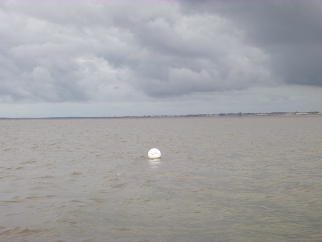
Tuesday 13 June. High pressure (a ridge at least) at last. Leave Liverpool Marina at 3:18pm (HW 2:16pm 8.5m). Proceed past New Brighton (at 4.15) and through Rock Channel (following my waypoints Groyne, Chip, Corner). I was surprised to see a seal in the Mersey (near Tower Buoy) - they are common in Liverpool Bay but less common close in. Near my waypoint CHIP was a while spherical buoy marked WYC (a Wallasey Yacht Club race mark). Sunny and slight wind.
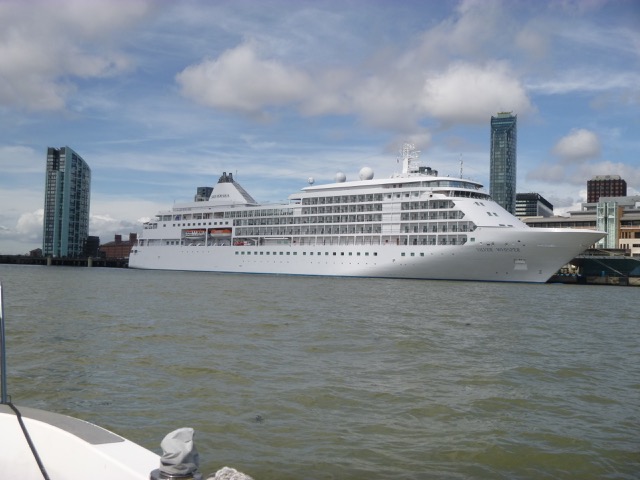
Liverpool waterfront with cruise liner Silver Whisper.
 |
I decided to cut across the North Bank, proceeding directly from
Corner to He3. This had least depth of 2.5m under my keel at that tide
state.
After passing HE3, the current was adverse - about 1-2 knots. Pass
Hilbre Point at 5.07 and proceed to He4. The nearby part of the Hoyle
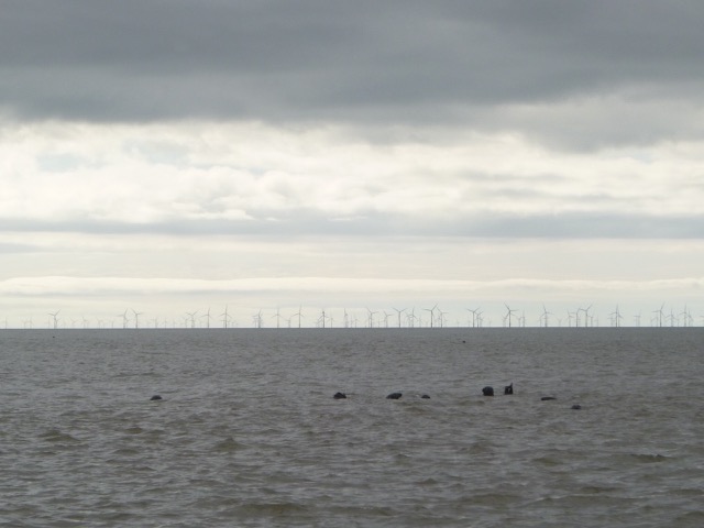
Bank was still covered but the seals were already gathering
waiting for their favourite perch to dry.
I surveyed the area just S to SE of He4 looking for a
good spot to dry out later. The SE edge of the Hoyle Bank seems to have
moved SE a bit since 2016 and has even changed noticeably since April
2017.
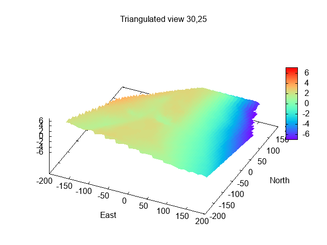
In essence, the channel draining water out near
LW seems to have shifted: it used to run very close to the Hoyle Bank
edge whereas now it runs out some way from the Bank edge.
Seals on Hoyle Bank (awash); depth of "shelf" protruding from SE corner of Bank; Marlin aground near LW.
|  |
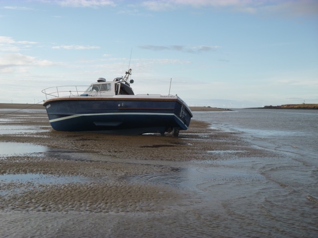 |
After surveying, I anchored at 5:17 at a propitious spot (just south
of where I dried out in April 2017). By 7:15pm, I was aground with dry
land around, so I could remove a bit of weed and go for a walk.
This location was level but the sand was not quite as hard as in some
places, so Marlin's bilge keels dug in a bit more than sometimes.
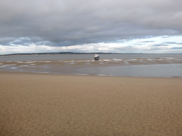
The channel/gut running S of Hoyle Bank was clearly visible at LW
[2.1m; circa 8:54pm]-- and is different from previous visits. There is
now no drainage channel close to the bank edge.
The drainage channel that no longer runs close to the edge of the Hoyle Bank.
 |
Since the overnight forecast was calm, I decided to remain at this location and deployed my anchor to keep me in place overnight during HW (2:33 am 8.7m). I refloated at 10:30pm. I set an anchor drift alarm (GPS) to check that the anchor is holding. As HW passes, the current changes and the anchor warp/chain can dislodge the anchor. This duly happened and I had to motor a short distance and re-anchor.
Wednesday 14 June: While still afloat, the wind seemed to be
strengthening from the south - which direction has quite a big fetch in
the Dee. To have a smoother settling onto the ground, I decided to shift
to a location just north of the (mainland) bank east of Hilbre Island.
I have dried out there before in southerly winds. I set off at 6:20 and
was in the new location by 6:42 and anchored to await lower water (LW
9:20 2.0m). I was aground by 8:00 and able to walk around the boat (with
thigh-length waders).
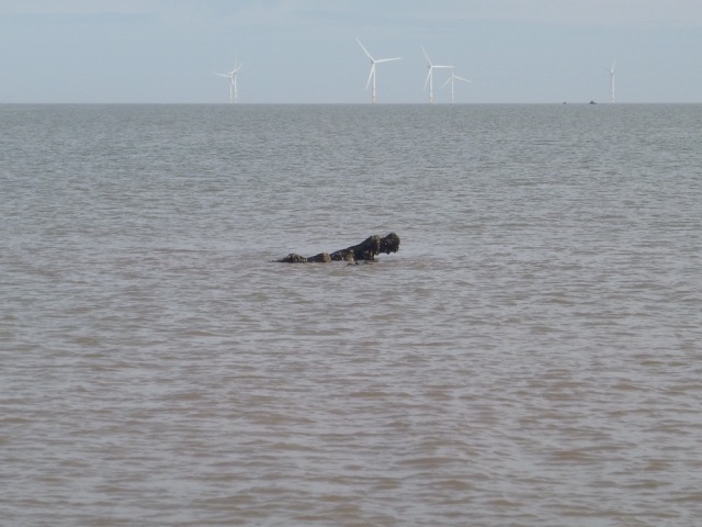
Just north from my position (and close to the
route I took coming in to the shallows) was a dark object that I assumed
was a curious seal. When it did not move, and as the water level fell,
it was clearly a solid object. This was a shock, I have passed this
area many times and I had never seen it before. As it was revealed, it
looked like wreckage rather than rocks. I know a man who is expert on
shipwrecks in Liverpool Bay - he suggested the Thomas. It sits on a seabed with
level about 1.5m above chart datum and it was just awash at 10:00 which
corresponds to a drying height of 2.4m above chart datum (using the
Liverpool tidegauge readings). So it is only visible at LW springs. My
position (aground) was 53 23.236N, 3 13.449W and the obstruction was
about 20m or so at bearing 332° from the boat.
As I was contemplating this "object", I heard a motor noise: the
West Kirby lifeboat launching tractor was touring the waters edge
looking for suitable launch sites. They stopped to talk to me and said
they were aware of, what they called, the "rock". I explained that I had
not made contact with it so had no problem.
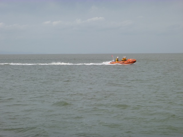
A little later the West Kirby lifeboat itself came past at speed.
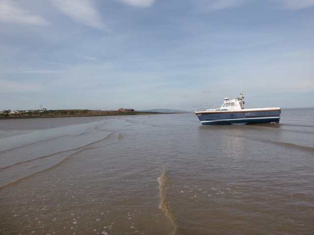
The "wreck" at LW (2.0m) near my position; Marlin aground with
Hilbre beyond; West Kirby lifeboat.
 |
 |
 |
When I refloated at 10:10, I moved further away from the "wreck" and re-anchored for a while to do some chores. Then I set off along the Wirral coast to the Rock channel and Mersey. I locked into the marina at 1:25pm.
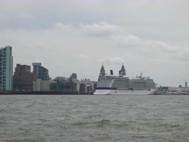
Liverpool waterfront with cruise liner Celebrity Eclipse.
 |
Above trip was mainly at tick-over (6 knots through water) and
used about 4 gallons. Distance run (over ground) 14 nm outbound and
14 nm returning.
Saturday 1 July. Ridge of high pressure but NW 4-5 for a period so
waves had built up. Predicted as 3 ft high and measured as such by the CEFAS
Waverider buoy.
Leave Liverpool Marina at 7:20am (Liv HW 5:17 8.4m; 17:52 7.8m).
Proceed past New Brighton (at 7:55) and through
Rock Channel (following my waypoints Groyne, Chip, Corner).
Sunny and rather choppy.
Reach He3 by 9:03 and shelter behind (uncovered) Hoyle Bank at
9:30 near He4 buoy. Anchor and wait for tide to ebb and take the ground
(by 10:20). LW about 12:10.
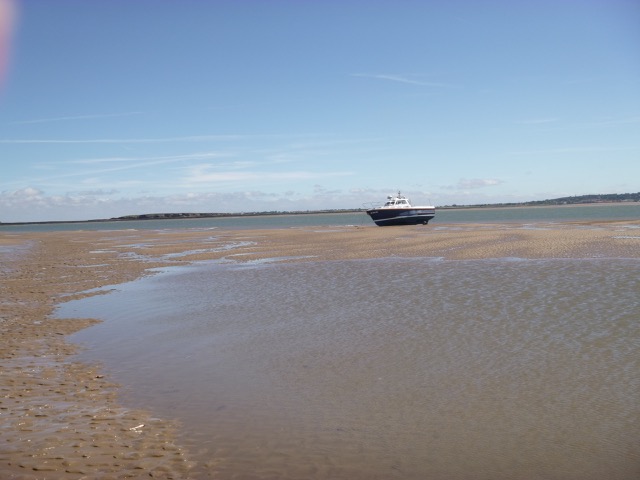
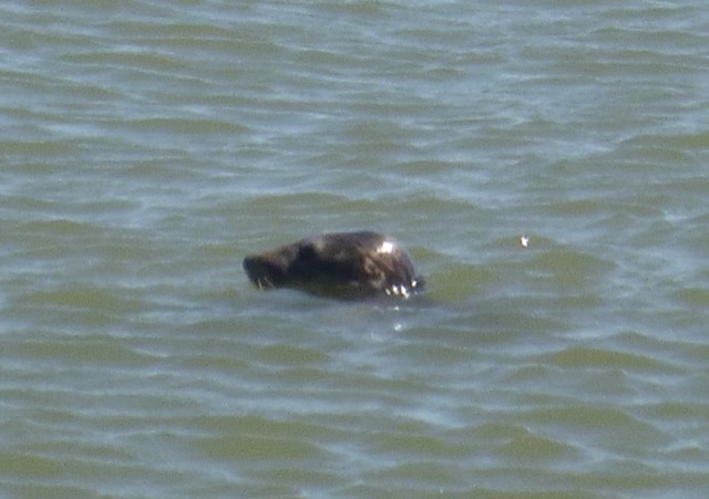
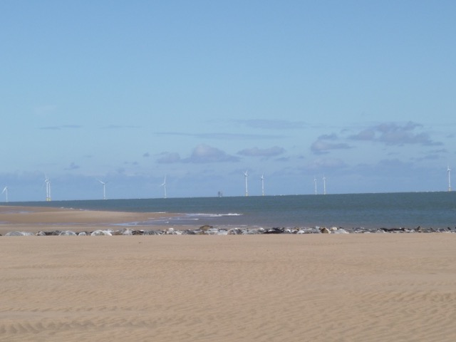
Marlin aground; seal watching us; seals asleep.
MARLIN trip into Dee estuary July 2017
 |
 |
 |
Up anchor at 1:45 pm and proceed slowly back to Liverpool. Sea state much more comfortable than on way out. Lock in to Liverpool Marina at 4:05.
 |
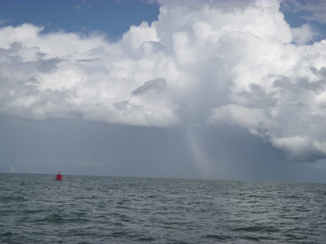 |
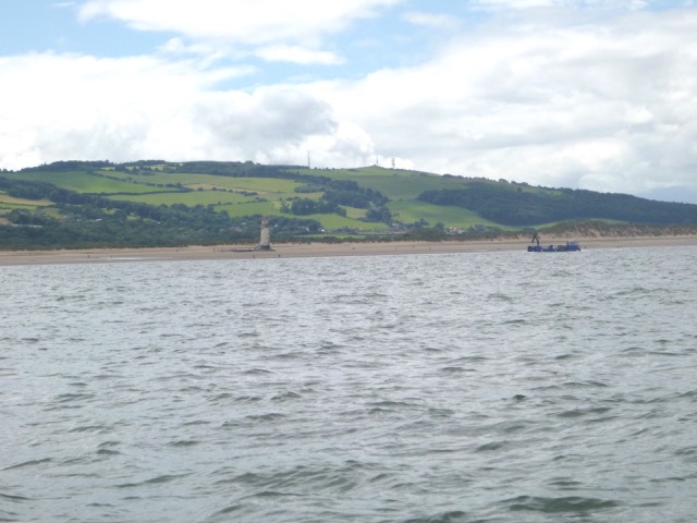
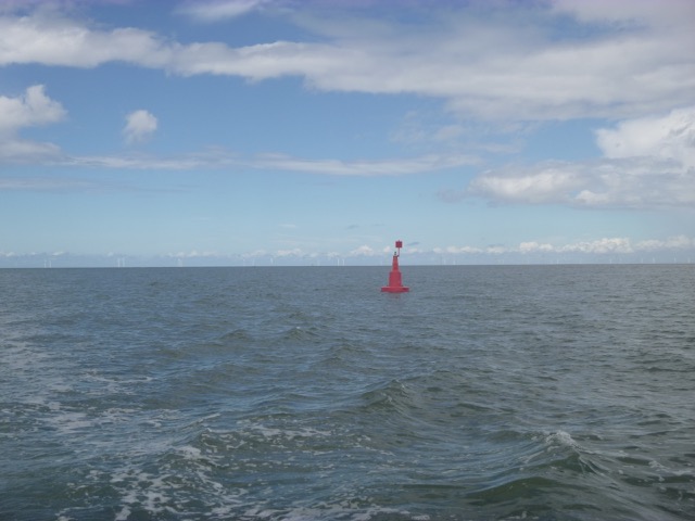
After surveying a wreck on the Northern edge of the Hoyle Bank, I headed into the Dee Estuary at 1:15 pm. The wind was forecast to increase and be westerly - so the Dee would provide shelter. I headed in through the mid-Hoyle channel (buoys Hoyle, Mid-Hoyle, east Hoyle spit and Dee). The Dee buoy is now a port-hand mark (red pillar) rather than the S Cardinal that was previously in place (this is apparently just a temporary change)..
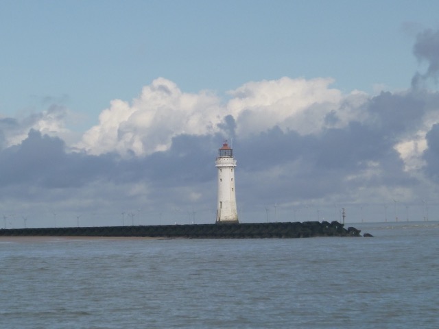
Point of Ayr Lighthouse (with work barge); Dee buoy (no longer a cardinal mark).
 |
 |
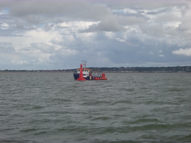
By 1:45 I was in Wild Road (actually mis-named since it is quite sheltered). I did not take the channel into Mostyn, but headed for Salisbury Middle and then West Bar. A small boat was servicing the West Bar buoy - it looked like they were replacing it. The buoyage in the Dee Estuary above Mostyn has long been out of position. I was pleased to see that Dee2 buoy had now moved (as a red port-hand buoy) to the edge of the current deep channel - rather than its previous position in what had become a dead-end channel. Dee1A is now to the west of the deep channel and is not in deep water. I carried on to Dee3 (now a starboard-hand (green) buoy - where I turned and headed back out at 2:35 against the current.
West Bar buoy receiving attention,
 |
The 2015 survey which is on the latest hydrographic charts was close to my observations of depth in 2015-6. This year (2017) I note that the deep channel has moved further east between Dee1 and Dee3 (via the new Dee2).
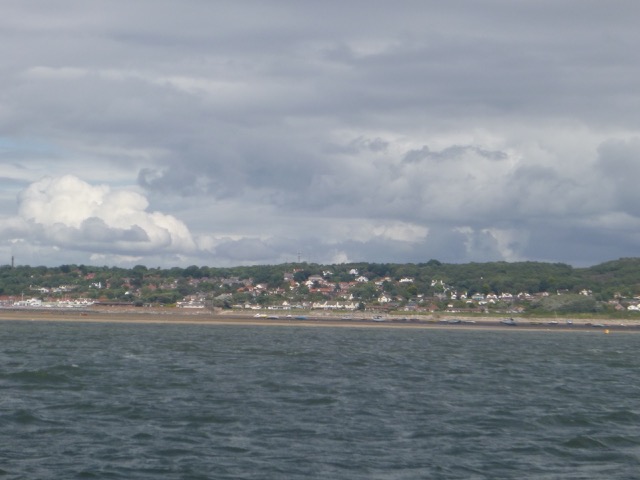
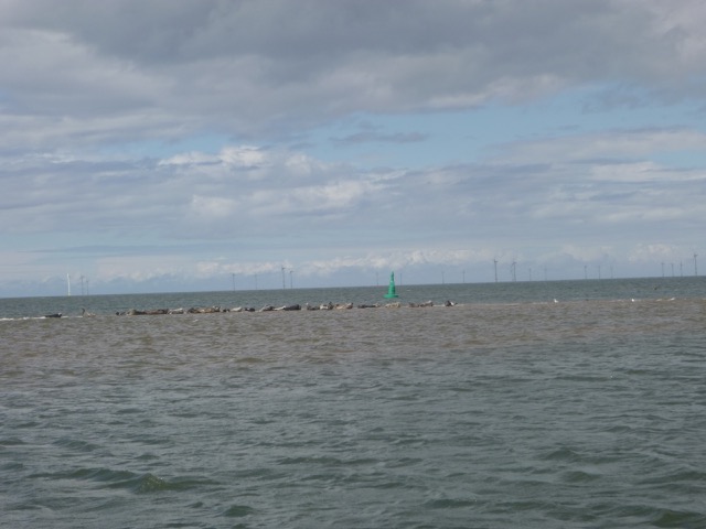
With a making tide, I crossed east of Dee1 to the channel off West Kirby and Thurstaston (this crossing is also no longer as shown on the 2015 chart). Then up to He4 where the seals were enjoying the last half-hour on the bank before the tide covered it. I anchored nearby at 3:15 at the spot I had previously used to dry out. This gave shelter (from the stiff W wind) for a rest.
West Kirby (Yacht moorings and Cubbins Green ); Seals on covering bank near He4.
 |
 |
I set out again at 3:45 and passed Hilbre to He3 by 4:10. With a following sea I set off across the East Hoyle Spit to my waypoint CORNER. The autopilot had a few tantrums - a following sea tends to push a Mitchell sideways. So manual steering was needed for a while.
I was off the Marina Lock by 5:35 and locked in soon afterwards.
Track (with depths in metres above CD and distances in metres) of
my exploration as far south as Dee3 buoy (2017 trips). (Waypoints as
given
above plus buoy positions with new Dee2 postion).
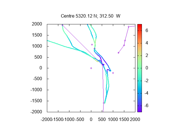
53.4 miles run, mostly at displacement speed or slower.
Monday 18 September. Forecast slight wind but possible heavy showers.
Leave Liverpool Marina at 12:33 (Liv HW 10:36 9.0m; 22:57 9.3m).
Proceed past New Brighton (at 13:00) and through
Rock Channel (following my waypoints Groyne, Chip, Corner).
Sunny and rather choppy.
Wallasey Yacht Club racing mark "chip" near my waypoint of that name - unlit.
Reach He3 by 2:06pm with wreck of NESTOS just uncovering. Pass
Hilbre heading for He4 and the Hoyle Bank with the seals lounging on it
at 2:44.
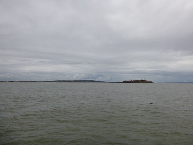
Hilbre with Caldy Hill beyond.
Using my depths from previous surveys, I anchored at 2:55 at
53 22.143N, 3 14.200W.
By 3:30 the tide had receded enough to go overboard and check the
hull and sterngear. A few barnacles met an untimely end.
LW (liv) was 5:22 and by 5:00 I had finished chores and could take a
siesta.
This was good timing since there was a heavy shower of rain.
Seals on the Hoyle Bank with buoy HE4 and Hilbre Island beyond.
Marlin aground.
Up anchor at 6:55 pm and proceed slowly back to Liverpool. Heavy
showers so quite dark - hard to spot unlit buoys.
Lock in to Liverpool Marina at 8:50.
14 nm run out and the same back.
A record of the depth and track of my voyages are available from
teamSurv
If higher resolution versions of the above images are wanted, please
contact me. All information given in good faith, but please do not
rely on it. Back to index here MARLIN trip into Dee estuary September 2017
