For a general discussion of navigation in the Dee see
here.
Above Mostyn, the only significant commercial traffic is the barge
taking Air Bus wings: this is the specialist boat (the AFON
DYFRDWY with small draught and small air draught: 1.5m draught with
4.3m air draught) which brings Airbus wings from Broughton to Mostyn
where they are offloaded for shipping to France.
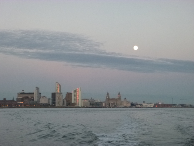
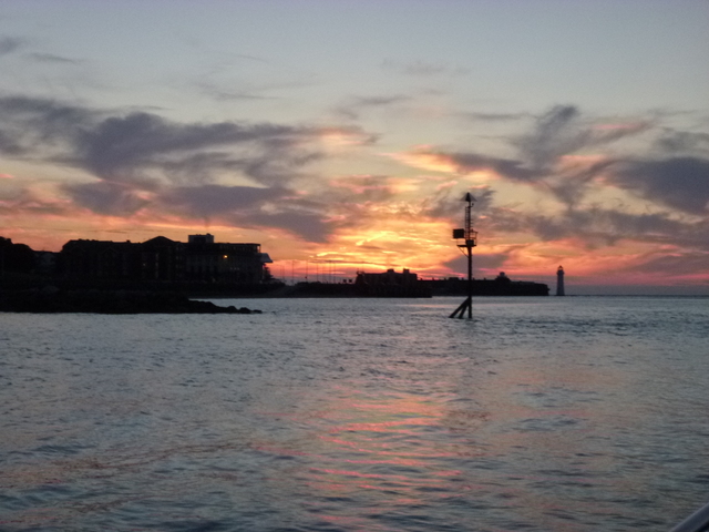
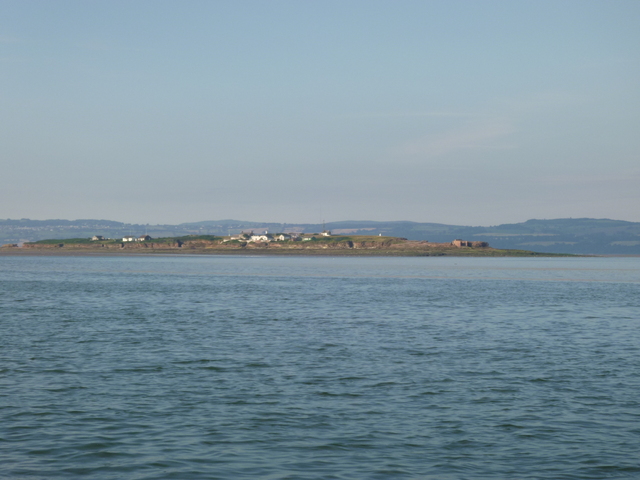
Friday 11 July: lock out of Liverpool marina at 9.15pm (HW 11.12pm 9.3m) and proceed out against current. 20 minutes of higher revs to counter the current and to cross to the Wirral shore near Egg buoy. Then back to normal cruising revs, dodging into the bays between the groynes, to counter the incoming current. A beautiful evening with full moon out and colourful sunset. Pass close to north Wirral shore (for less current) and anchor at 11pm in Hilbre Swash (northeast of Hilbre Island). Calm overnight.
Liverpool (showing full moon and reflection of setting sun); Perch Rock Fort and lighthouse against the setting sun; Hilbre from my anchorage.
| |
|
|
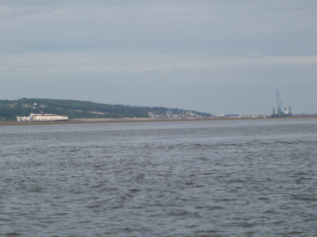
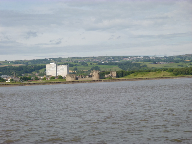
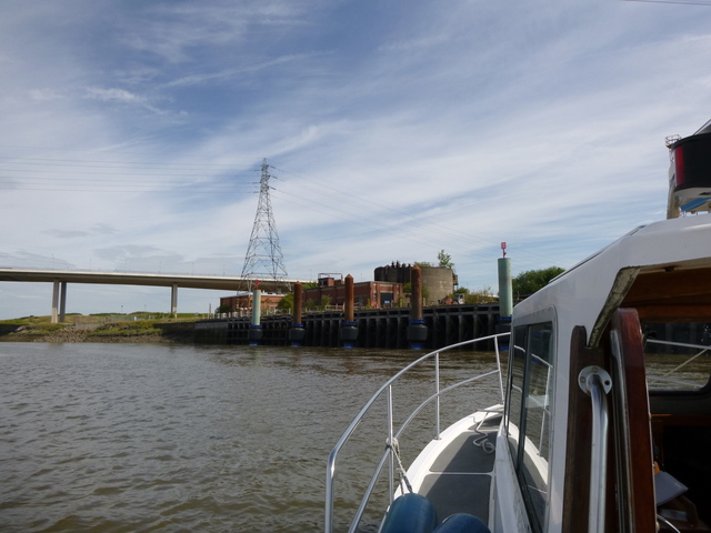
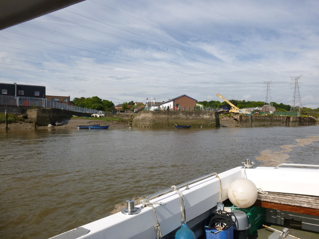
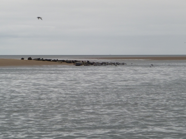
Saturday 12 July: off 7.25am and proceed slowly (with the current) into the Dee passing Hilbre and then HE4 where the seals were resting. [Liverpool HW 11.39am 9.3m]. Pass the entrance to the moorings at Thurstaston at 8.25; DEE2 buoy at 8.20; then follow track of previous trip to get through the bar near DEE3. Pass DEE4 (green buoy) at 8.48. With quite a current running in and the wind (S force 2) against it; the wind-over-tide caused ripples which helped to show where the current was strongest and thus with more depth. Following those visual clues, I kept to deep water: passing DEE5; offshore of DEE6; inshore of DEE7; then past DEE8 and close to the shore at Flint Point (has navigation marks) at 9.23. With a making tide, shallow patches were not a problem: but I did not go aground anywhere. After this time (corresponding to HW Liverpool -2.20), I always had more than 1.5 metres under my keel all the way up to Chester and on my return.
Seals on Hoyle bank near HE4; Duke of Lancaster hulk with Mostyn Dock beyond; Greenfield gutter.
 |
 |
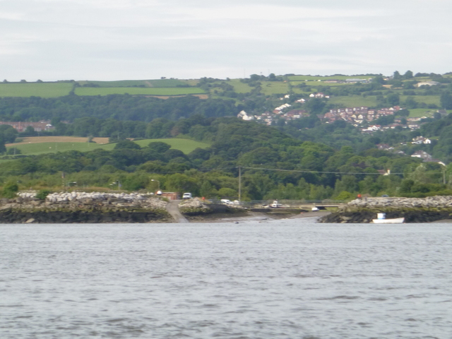 |
Bagillt gutter; Fflint Point (with SHM and height board for Dee high-level road bridge); Fflint Castle.
 |
 |
 |
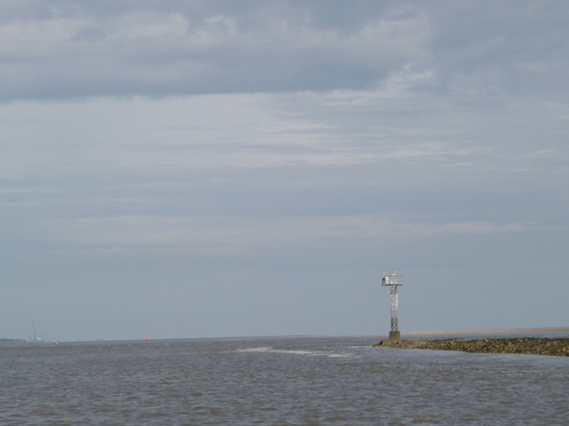
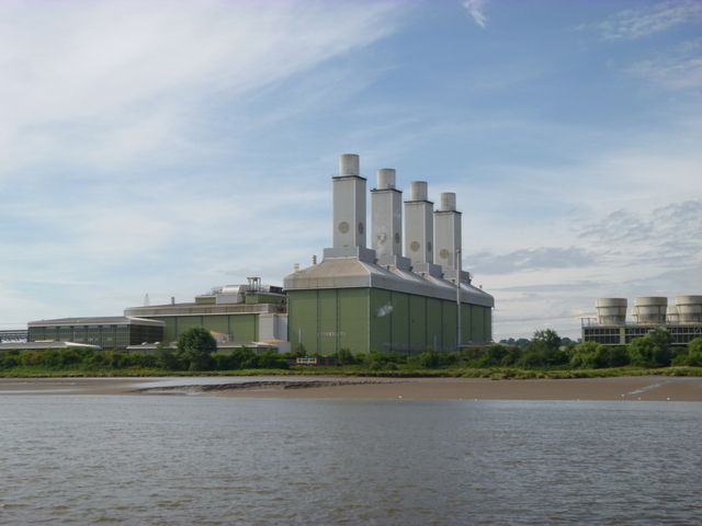
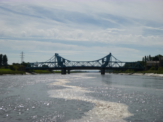
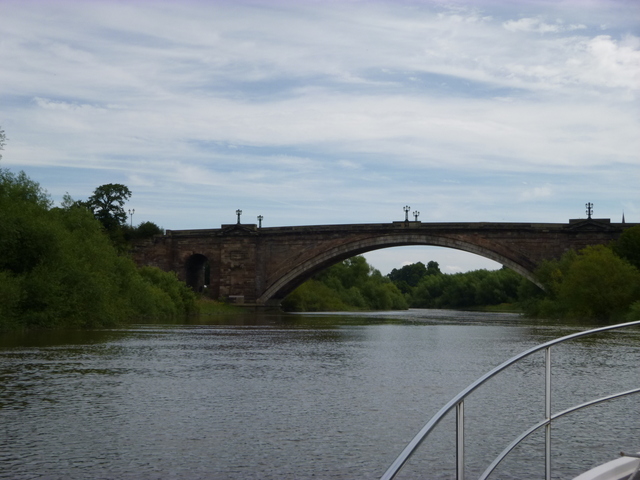
Outer end of north training wall (yellow spherical buoy just visible at left of image); Gas-fired power station; high-level Dee road bridge.
 |
 |
 |
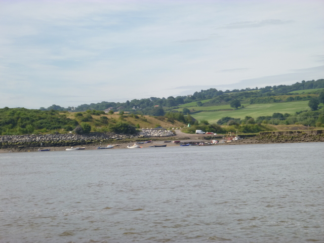
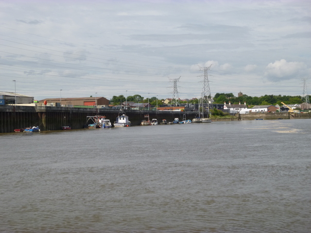
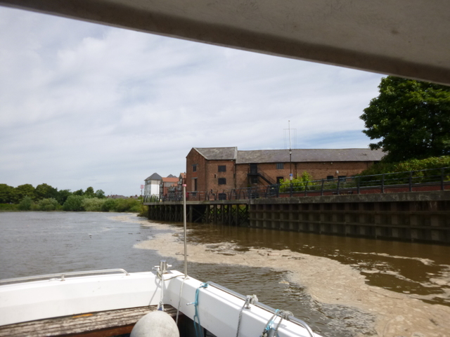
Steel-works quay; Connah's Quay: Dock and Quay.
 |
 |
 |
Hereon the incoming current was 4 - 4.5 knots. To avoid arriving
too early at Chester, I just drifted with the current, using the engine
to position myself in the strongest flow.
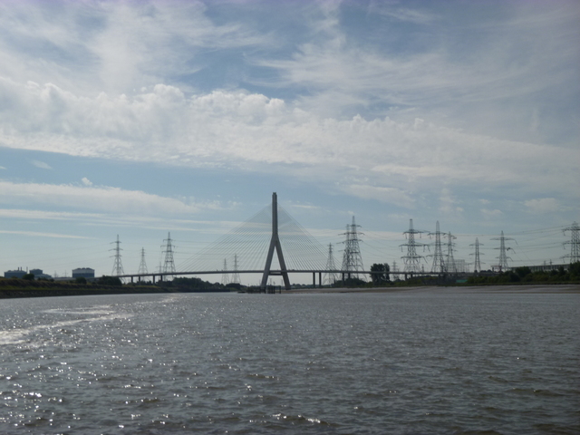
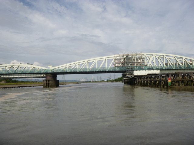
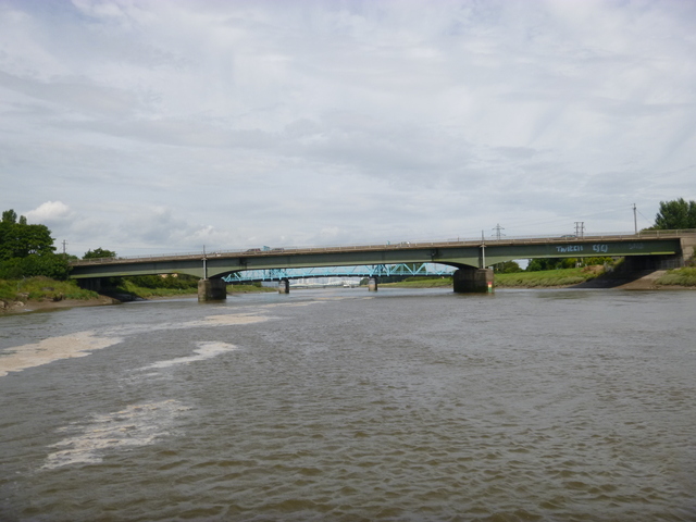
The bridges ahead were listed as having least air draught of 3.8m
at spring HW under the (fixed) road bridge carrying the Chester bypass.
The (no-longer-opening) rail bridge has 4.5m and the (blue) road
bridge 4.0m.
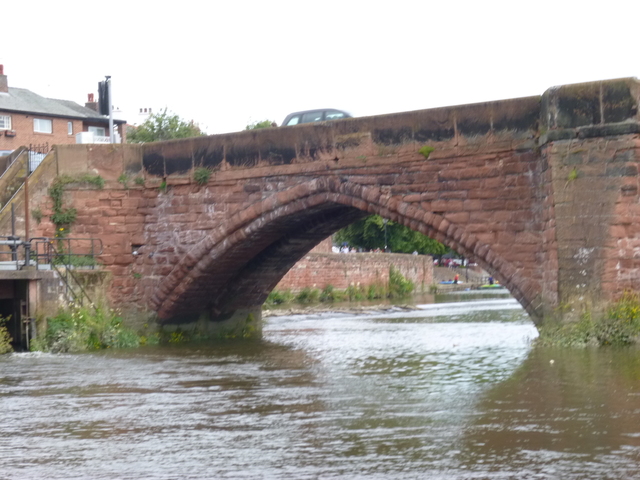
Helpfully, boards are fixed to the bridge supports giving air draught
information for the use of the Afon Dyfrdwy (which has 4.3m air
draught). The boards have red (don't go); yellow (close thing) and
green (OK) sectors. By tilting one of my VFT aerials, my air draught
was only 4.0m with the highest point being a thin steel VHF aerial which
would survive a nudge. Going upstream I had plenty of head-room and the
boards showed green but on my return (at 12.40, closer to HW), the board
for the main road bridge showed the bottom of the red sector which I
took to indicate an air draught of 4.3 metres and I got under with a
clearance of a foot or so (so air draught of 4.3 m approx at that tide
level).
Rail Bridge (now fixed); Blue road bridge (now fixed); Road Bridge (with air draught boards on N piers of Rail and Road Bridge showing green)
 |
 |
 |
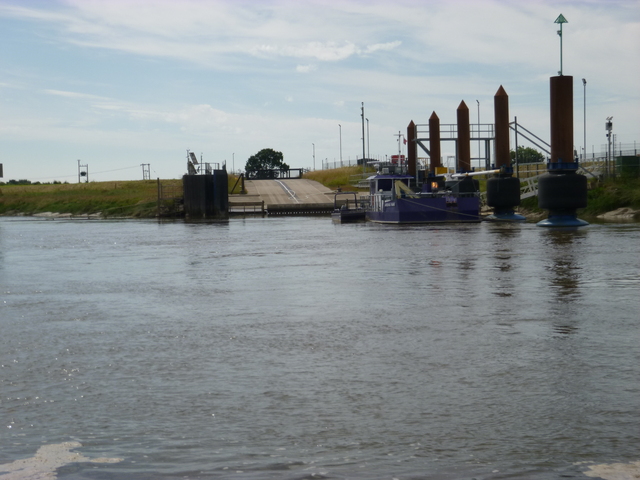
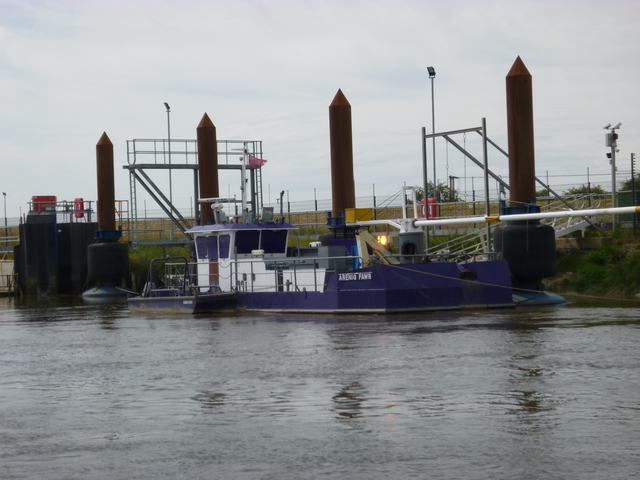
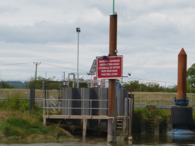
After passing under the three bridges, there is a long straight section (the new cut) which was man-made to improve navigation to Chester (which it failed to do). I passed at 11.03 the Air Bus facility where the Afon Dyfrdwy sits (with its bow protruding 35m from the bank) to load up a wing to take to Mostyn. There was a work-barge/dredger Arenig Fawr moored there but no Afon Dyfrdwy.
Airbus layby facility (S bank); Arenig Fawr; sign warning of obstruction.
 |
 |
 |
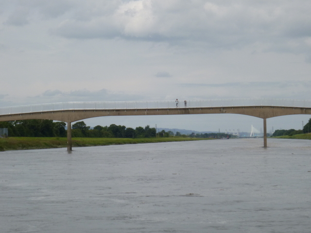
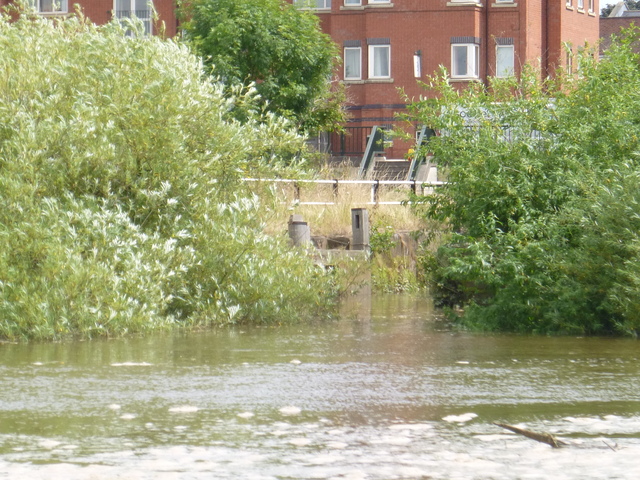
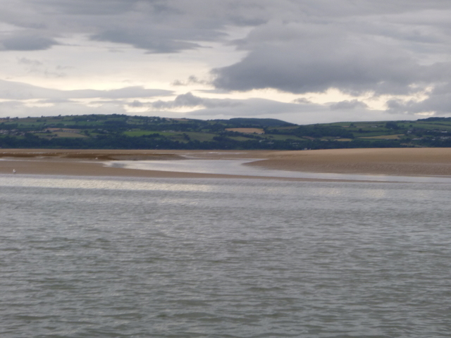
Since there is now no commercial traffic above that point, there are no aids to navigation. The river appears to be fairly deep right across near HW, so no problem. At 11.20 I passed under the Saltney Ferry footbridge (higher air draught than the previous bridges). At the end of the straight section the river curves to the left and rejoins the natural (and ancient) course of the river Dee. At that point we leave Wales for England. So this is end of the Welsh coast-line (see my trip to the other end at Chepstow). Hereon the current up the river slackened.
Saltney Ferry footbridge; entrance to canal link (overgrown); wharf.
 |
 |
 |
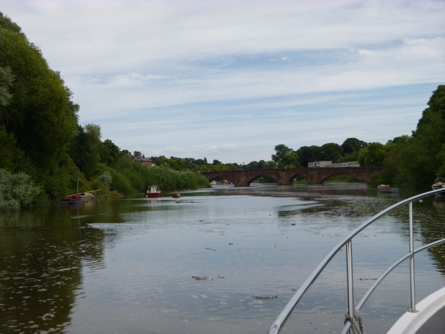
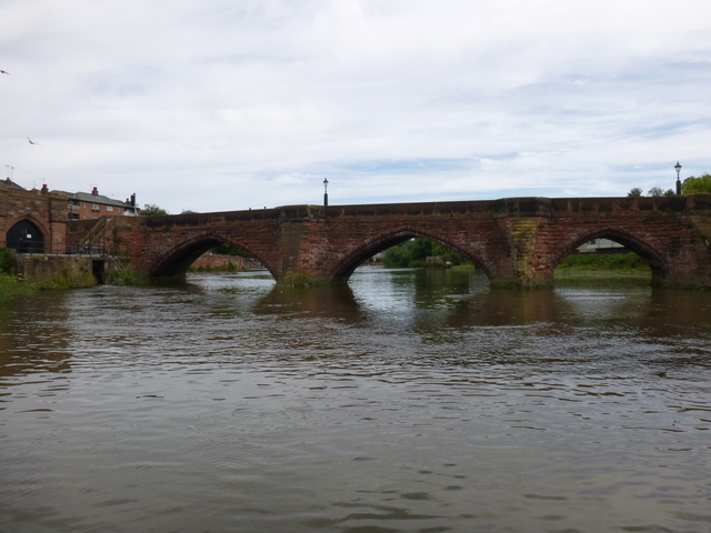
Approaching Chester there is the canal link (overgrown and presumably now disused), new housing and a wharf, and then the railway bridge. Rounding the Roodee (Britain's oldest racecourse) I passed under the high Grosvenor road bridge. There were a few tired looking boats moored in the pool approaching the many-arched old bridge and the weir.
Railway bridge; Grosvenor bridge; Chester pool (with old bridge beyond).
 |
 |
 |
Old Bridge; weir seen through arch of old bridge.
 |
 |
Especially in the upper sections, there were a lot of branches, logs and rubbish floating in the river.
Returning I had little current, passing into the long straight section at 12.15, the airbus facility at 12.27 and the road bridge at 12.40 (with red board and a tight squeeze for air draught as discussed above). Connah's Quay at 12.55 with outgoing current of 2 knots. End of North training wall at 13.12.Then pass yellow buoy, Fflint Point, DEE8,...DEE3 retracing incoming track. From DEE3 take the channel via DEE1A and head for HE4, arriving at 2.07pm. I anchored south of HE4 in 10m to take a break and listen to the "moaning" of the seal colony. click for mp3 audio of seals.
Set off at 6.30pm, slowly out past Hilbre to HE3 at 6.42 and then across the East Hoyle Spit. The chart (as of 2014) suggests that near LW it should be possible to cross East Hoyle Spit on a direct line from HE3 to the Meols Pipeline buoy. Previous experience was that this was not optimum and I was able to see the dry section at the outer end of East Hoyle Spit showing (at 7pm: LW+20') and just overlapping that track. Crossing the bank further inshore: such as going directly from HE3 to ROCK (my waypoint) was a better option: and I just had enough depth to creep over at 7.20 (spring LW +1h). I arrived at ROCK at 7.45, passing the tug Voe Chief and pipeline-laying barge LM Constructor near Meols buoy. Then in via CORNER, CHIP and passing offshore of the perches.
Seals resting near HE4; gutter south of Hoyle Bank near LW showing steep side of bank.
 |
 |
I entered the Mersey from the Rock Channel and then took advantage of the eddies near the groyne and Egg buoy to stop for a while. Then on to wait off the marina to lock in (at 9.45).
14 hours run (much at tick-over) and 9 gallons used.
If higher resolution versions of the above images are wanted, please contact me. All information given in good faith, but please do not rely on it.
Back to index here