Senegal
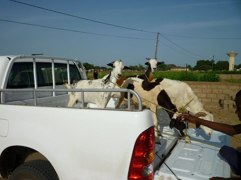
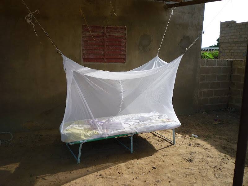
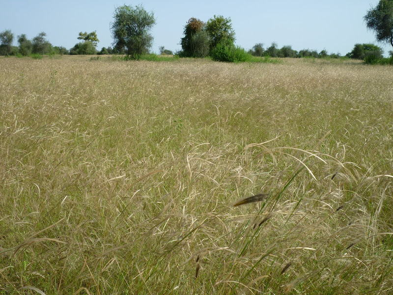
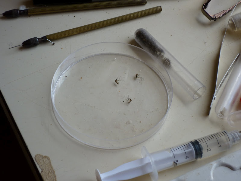
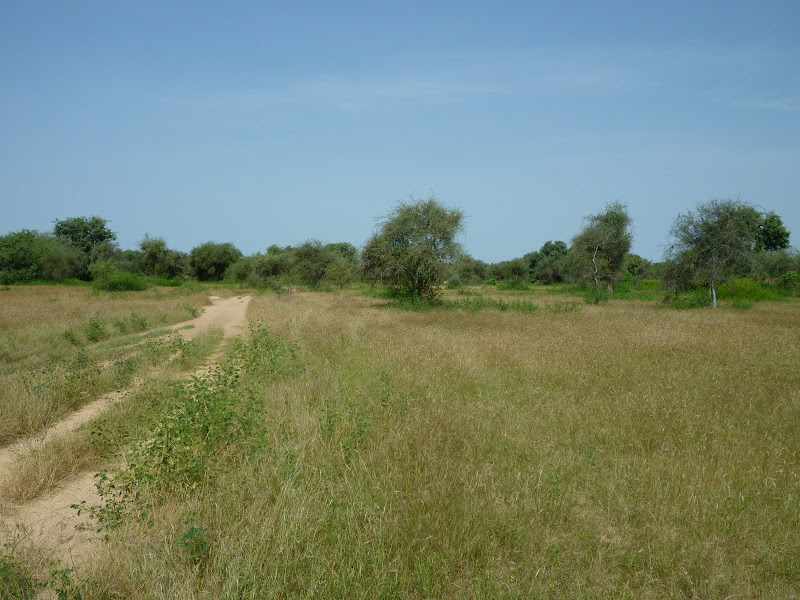
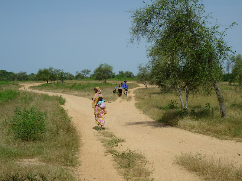
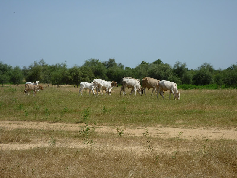
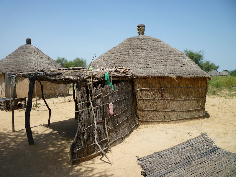
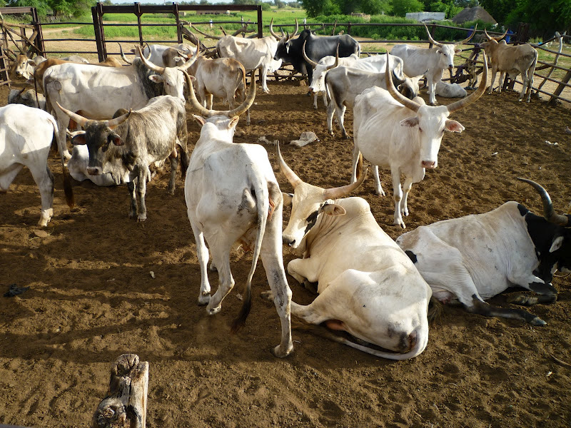
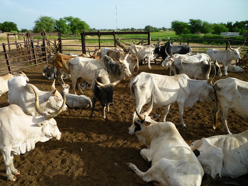
Senegal is the westernmost country on the African continent. The climate is tropical, with the rainy season between May and November, and the dry season running from December to April. Senegal suffers from seasonal flooding, and periodic droughts. Vector-borne illnesses such as malaria and Rift Valley Fever affect the population and livestock of Senegal.
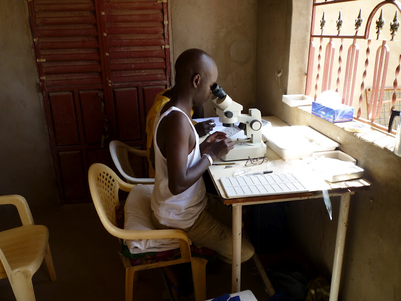
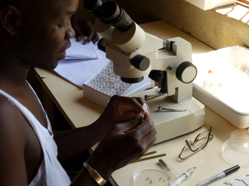
The past few years have seen a rapid development in spatial information technologies represented by the 3 S’s (GIS, RS, and GPS), which are suitable for identifying and monitoring environmental targets associated with vector-borne diseases. Combined with other mathematical analysis, spatial information technologies provide a new powerful solution to analyze and predict the spatial-temporal patterns of vector-borne diseases.
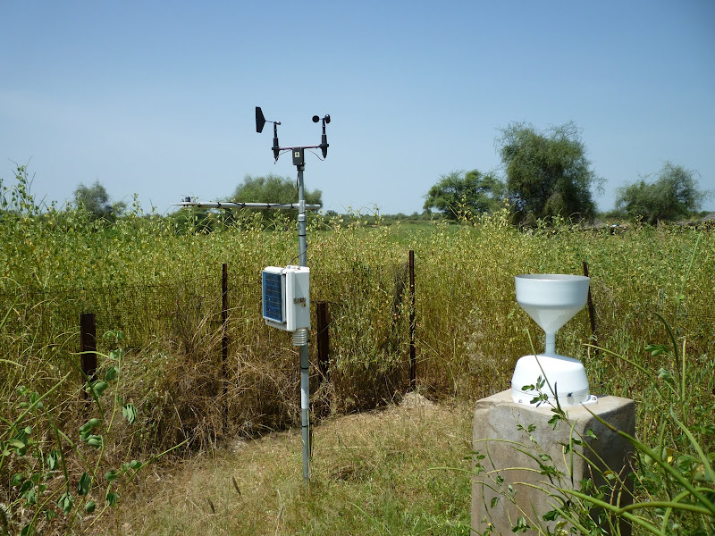
In Senegal, local and European scientific experience exists for ground-based measurements to validate remote sensing and mapping approaches. Under the AMMA-EU project with the support of CNES, work has been undertaken to identify RVF risk areas. The latter is based upon in-situ measurements made by CSE, IPD and UCAD. MEDIAS-France contributed by implementing further development of the ZPOMs maps (with uncertainties) based upon high resolution remote sensing images (SPOT-5).
The Senegal pilot project seeks to more precisely identify the roles of meteorological and environmental variables in patterns and diffusion of Rift Valley Fever and malaria in the Sahelian bio-geographic domain of Senegal. The following factors will be examined to determine their impact on the dynamics of malaria and Rift Valley Fever vector populations: rainfall and other climatic factors; and intra-seasonal variability in the West African monsoon; rainfall, hydrology and pond dynamics.