I mainly use tides favourably (this helps a lot) and motor at my displacement speed (5 to 7 knots).
I planned to go round Ireland anti-clockwise since the most exposed part of the coast is the Northwest and I would be surer of good weather there if I started from the North.
Friday 5 July: leave Liverpool Marina near HW at 10.00am, via Rock Channel (survey) towards Port St Mary. Arrive 8.30pm and berth alongside an Annalong FV on pier. Ashore for a drink and then discover FV was planning to leave at 2am. Chat to a local fisherman (potting) who suggested I berth outside him and who helped me to tie up (thanks Chris).
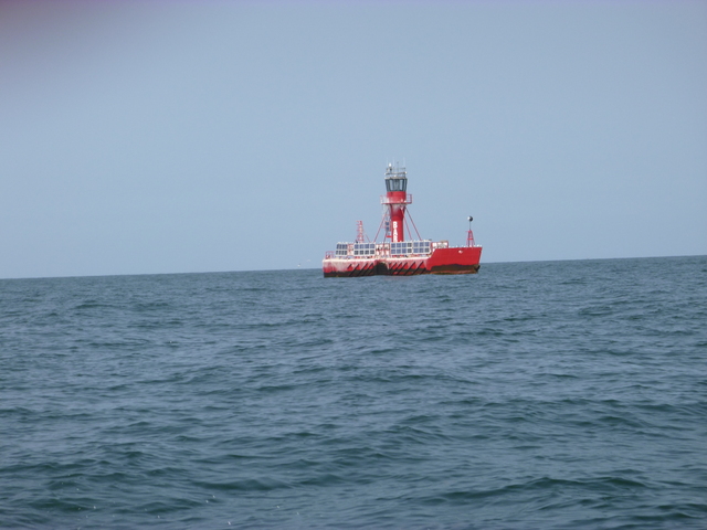
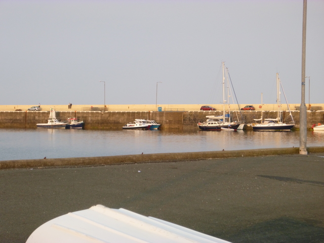
Liverpool Bar light float, Port Saint Mary pier.
 |
 |
Saturday 6 July: leave 5.30am and proceed through Calf Sound (use back eddy to approach close to the narrow part and then gun the engine briefly to get through against the 3 knot current). Head for Fair Head (Northeast corner of Ireland). I arrived about an hour after slack and had to increase revs to get around. The swell running also caused some lumpy seas. Arrive Ballycastle at 6.30pm. Take on fuel and berth on pontoon in marina. Ashore for food and drink.
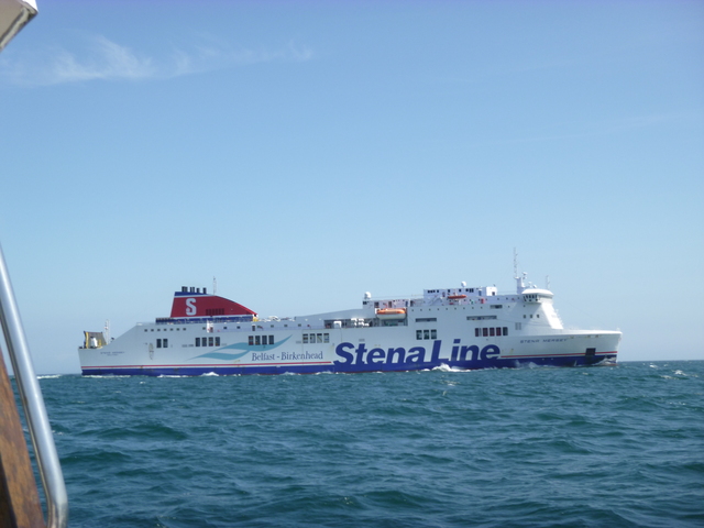
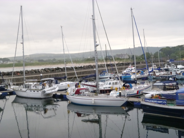
Birkenhead--Belfast ferry met en route; Ballycastle marina.
 |
 |
Sunday 7 July: set off 6.50am with adverse current. Dodge into bays
to get help from back eddies. Little wind but quite a big swell and
misty conditions. Cutting inside Sheep Island, I met a breaker which
washed my boat thoroughly.
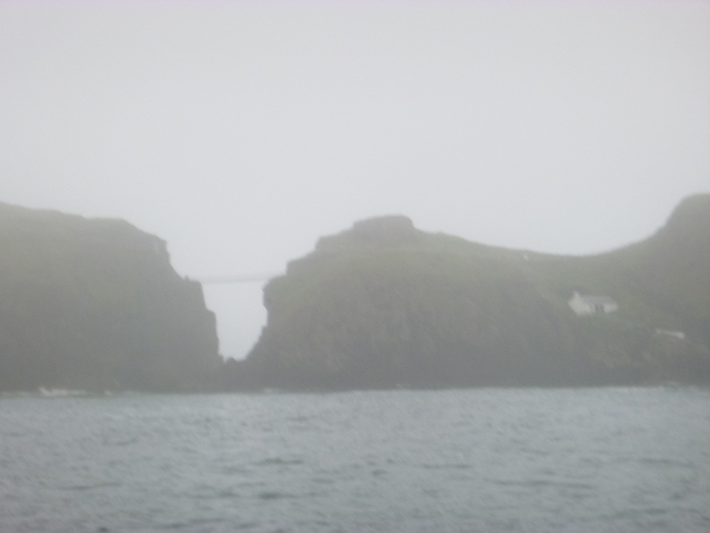
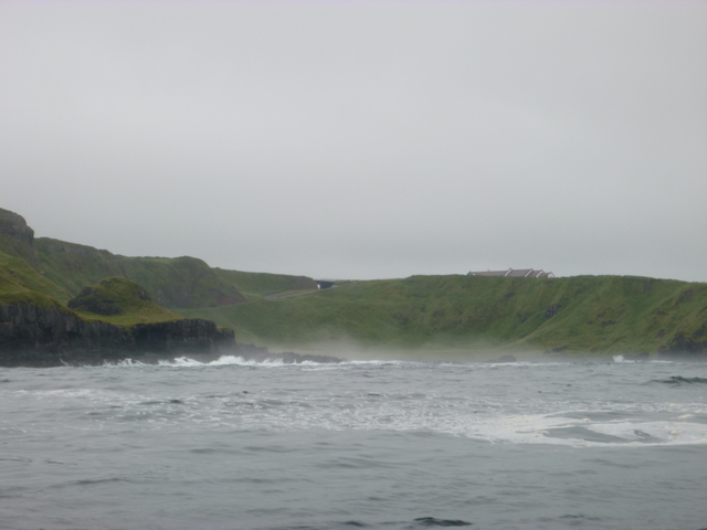
Pass the rope bridge (between the mainland and an offshore rock) and
then Giant's Causeway (this is not spectacular from seaward and in those
conditions -- breaking swell and mist -- it would not be too pretty from
land either).
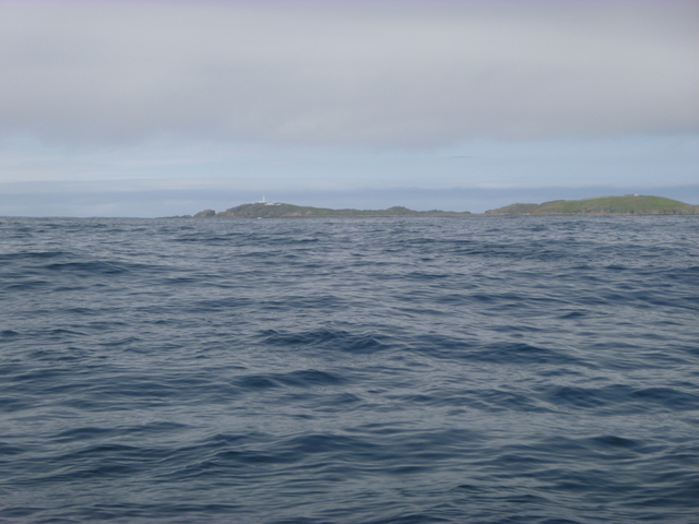
Pass the (now uninhabited) island of Inishtrahull. As I approached
the Northwest corner of Ireland, the fog got thicker. I could only
briefly see Tory Island so visiting it was not a safe option. Using
radar and keeping a close lookout, I continued until 8pm. Then I
decided to enter the sheltered anchorage of Cruit Bay (cruit is pronounced
critch or crutch) using radar and chart plotter. The anchorage is east
of Cruit Island (which is inhabited but connected by bridge to the
mainland). Visibility was about 20 metres, enough to identify the rocks
surrounding the anchorage. I could hear the swell (2.5 metres) breaking
against rocks but my location was calm.
Antrim coast:Rope bridge and Giant's Causeway; Inishtrahull.
 |
 |
 |
Monday 8 July: in the morning there was no fog and I could see where I was. Set off 5am. Go round Owey Island and then Arranmore. See Rathlin O'Birne in the distance as I made for Erris Head (arriving 4pm). Cut inside Eagle Island and head south inside the islands (Inishkea North and South, etc ) to get out of the swell. (This area is anal: rocky island TURDuvillaun at entrance to BlackSOD Bay). Head for Achil Head. I had hoped to reach Inishbofin to overnight but time was running out (avoiding pot buoys is not possible in the dark). Decide instead to make for Clare Island. Berth alongside pier at 10pm. Go ashore for a drink and meet 2 locals who gave useful advice. At 11pm move to a mooring off the pier.
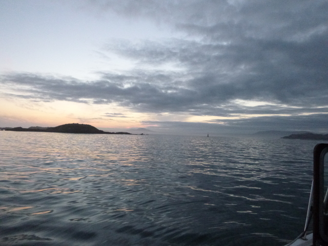
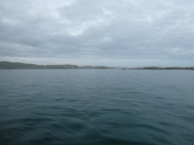
Views from my anchored position in Cruit Bay (outwards and inwards); Arranmore Lighthouse.
 |
 |
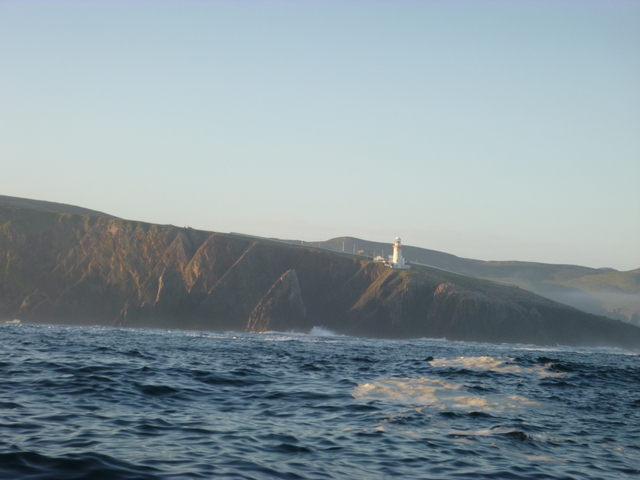 |
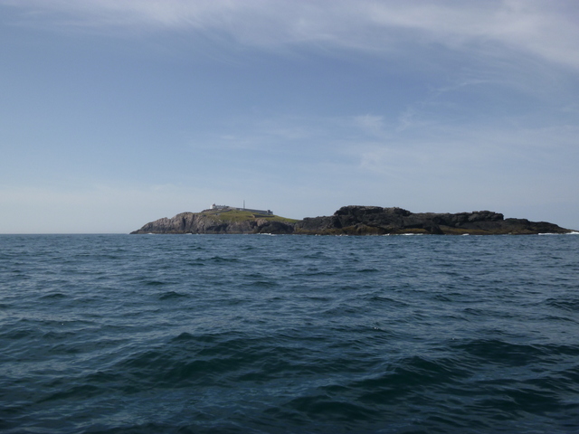
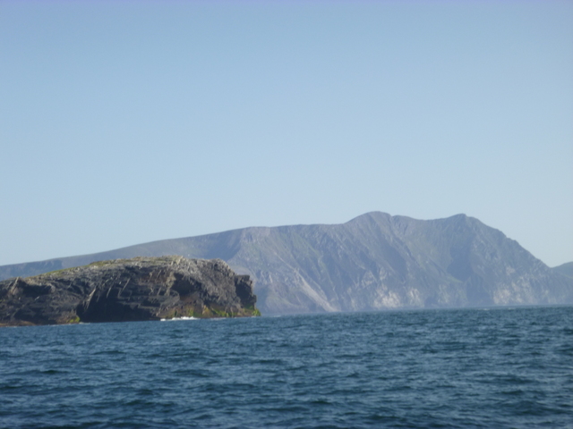
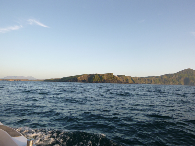
Light house on Eagle Island (near Erris Head), cliffs on Achil Island, Clare Island lighthouse.
 |
 |
 |
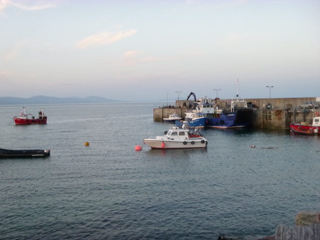
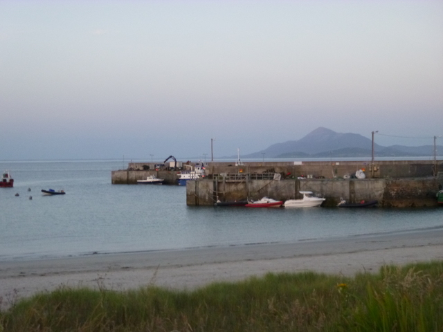
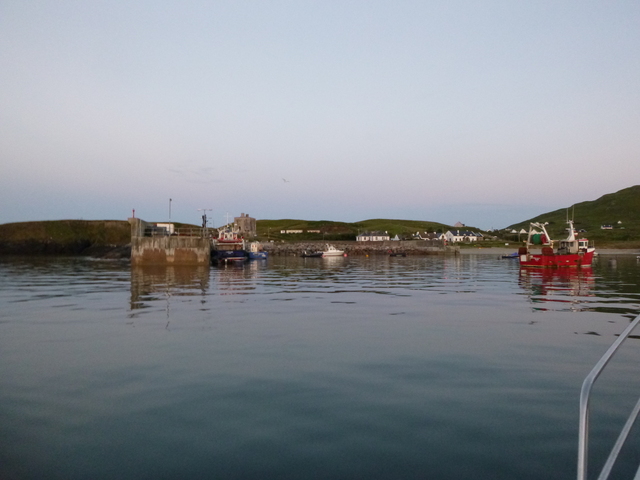
Alongside at Clare Island harbour; harbour (Croagh Patrick in background); view from my mooring
 |
 |
 |
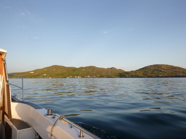
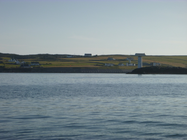
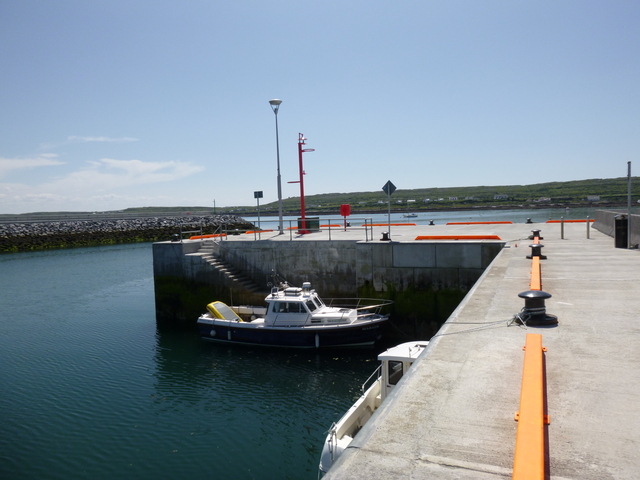
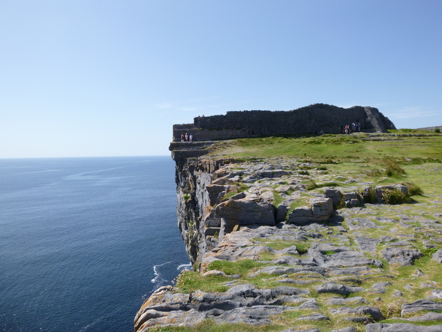
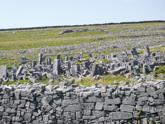
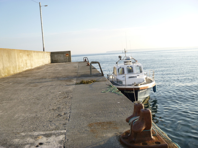
Tuesday 9 July: Set off 5am and pass Inishturk and Inishbofin (take a look at the entrance channel). Pass Slyne head and make for Kildonan on Inishmore (Aran Islands) arriving 3.45pm. Taking local advice, I berthed alongside away from ferry operations. Go ashore, rent a bike to visit Dun Aengus, shop and eat. Leave 5.45pm. Pass though Gregory Sound and decide to head for a sheltered anchorage South of Mutton Island. It was still quite lumpy so head instead to Quilty Pier which was more sheltered.
The inhabited islands Inishturk and Inishbofin; Kildonan on Inishmore (Aran Islands).
 |
 |
 |
Dun Aengus (cliff and "obstacle course" defence.); Quilty pier.
 |
 |
 |
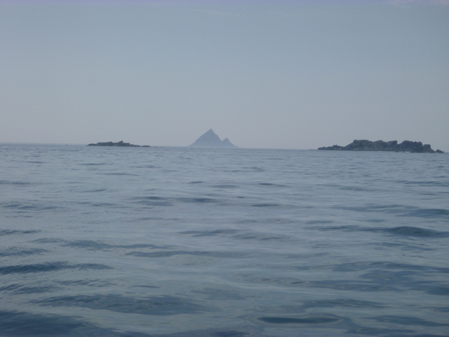
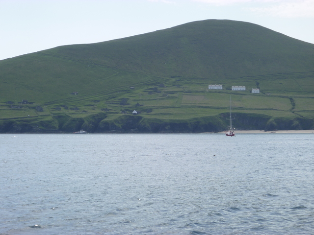
Wednesday 10 July: Decant fuel and then head on south. Pass Loop Head (entrance to Shannon estuary) and then Sybil Point. Pass inside Blasket Islands. See Tearacht in distance (rock with lighthouse which is most westerly point of Europe). Pass Great Blasket with people on the beach in the fine weather.
Tearacht (in distance at centre); Great Blasket.
 |
 |
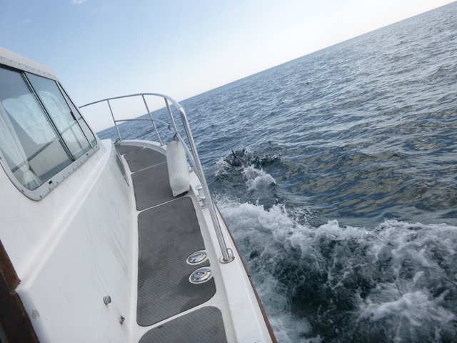
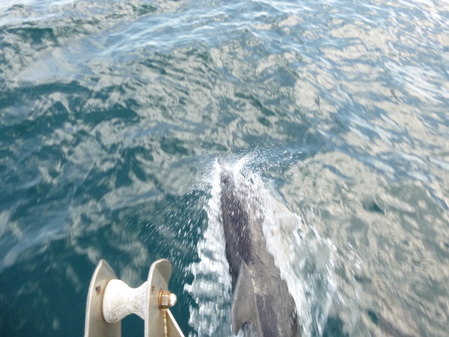
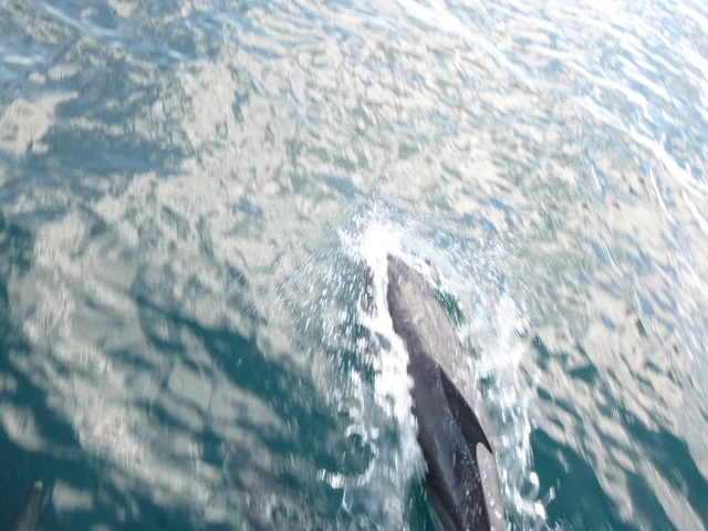
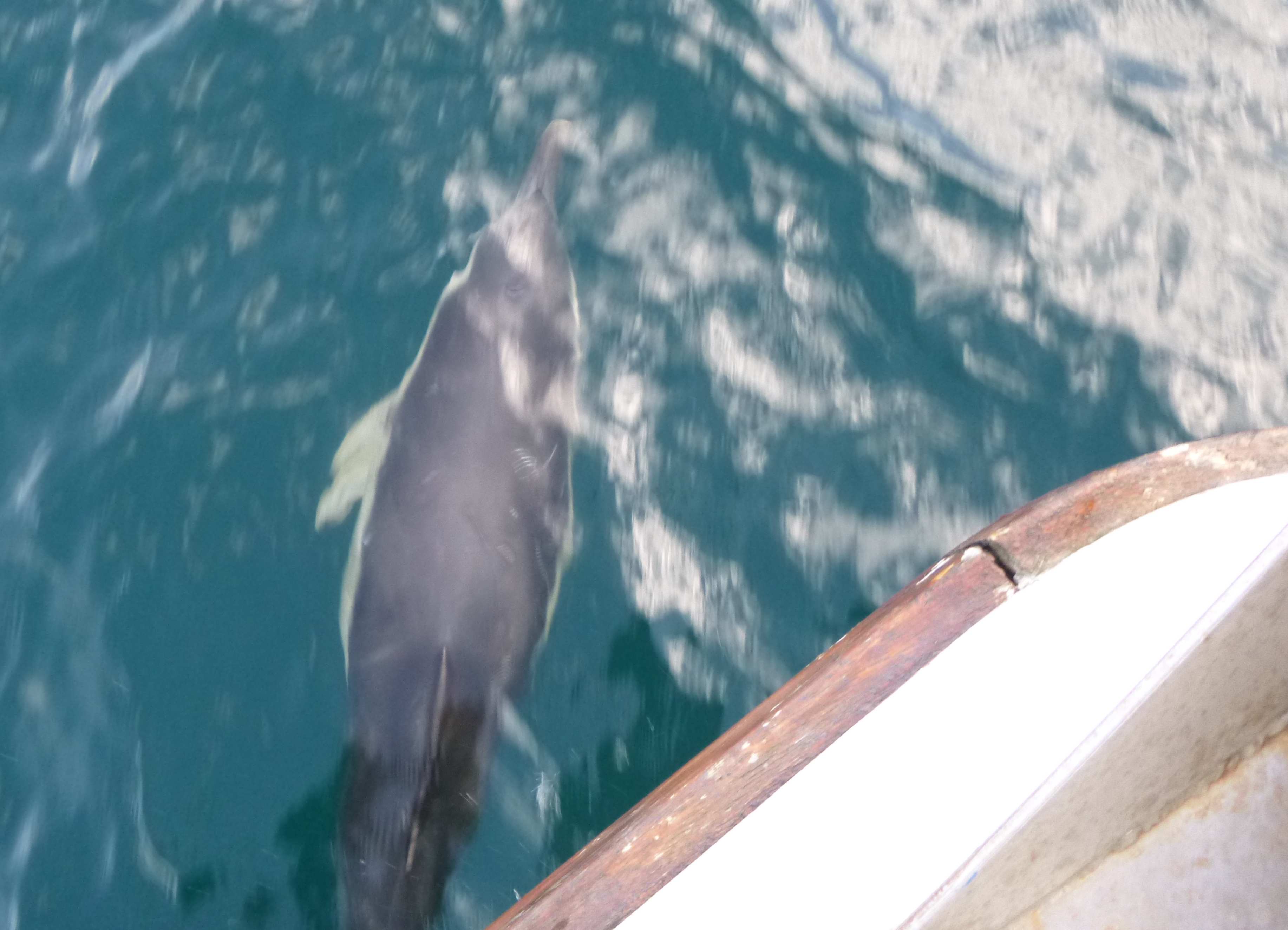
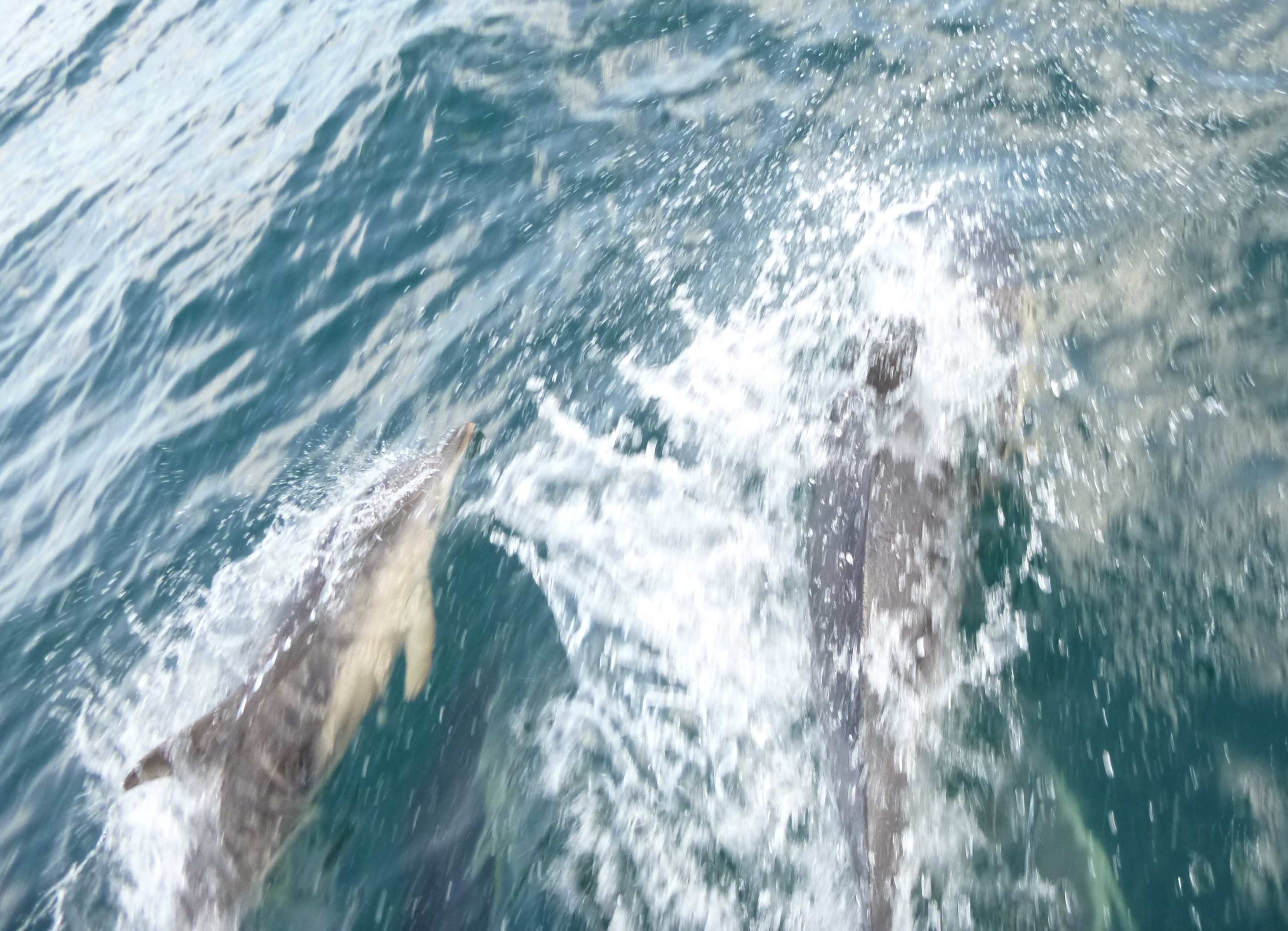
Crossing Dingle Bay in fine weather, I was surprsed to see spots of
water on my windscreen. There were no rogue waves and no clouds -- then
I saw the culprits: a pod of dolphins were riding my bow wave -- it was
"dolphin snot". They look like common dolphins to me.
Dolphins (met crossing Dingle Bay).
 |
 |
 |
 |
 |
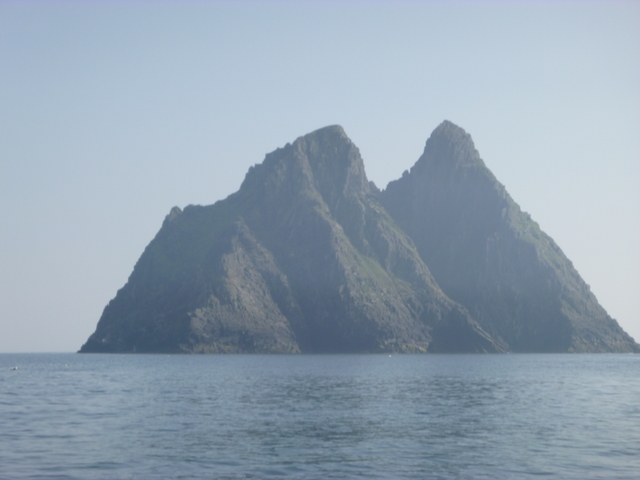
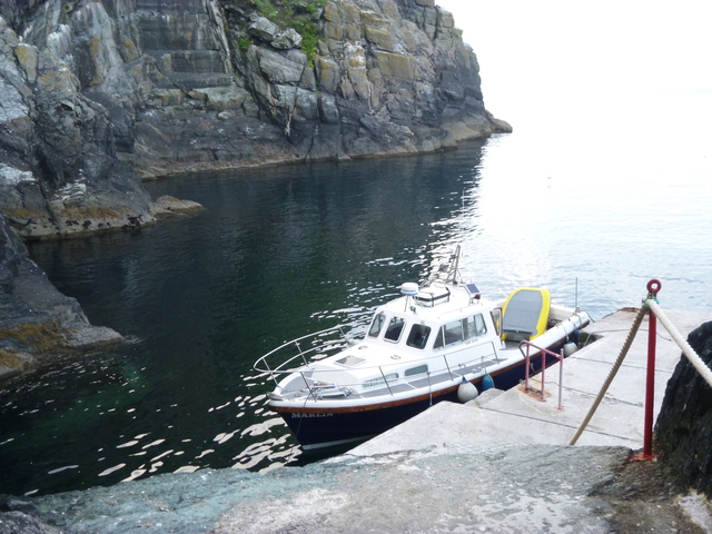
Head for the Skelligs. It was now so calm that I could berth at the
boat landing in Great Skellig (aka Skellig Michael) at 6pm. I was
surprised to see someone standing on the boat landing and he (a workman
doing repair work on the island) helped me tie up. Officially the
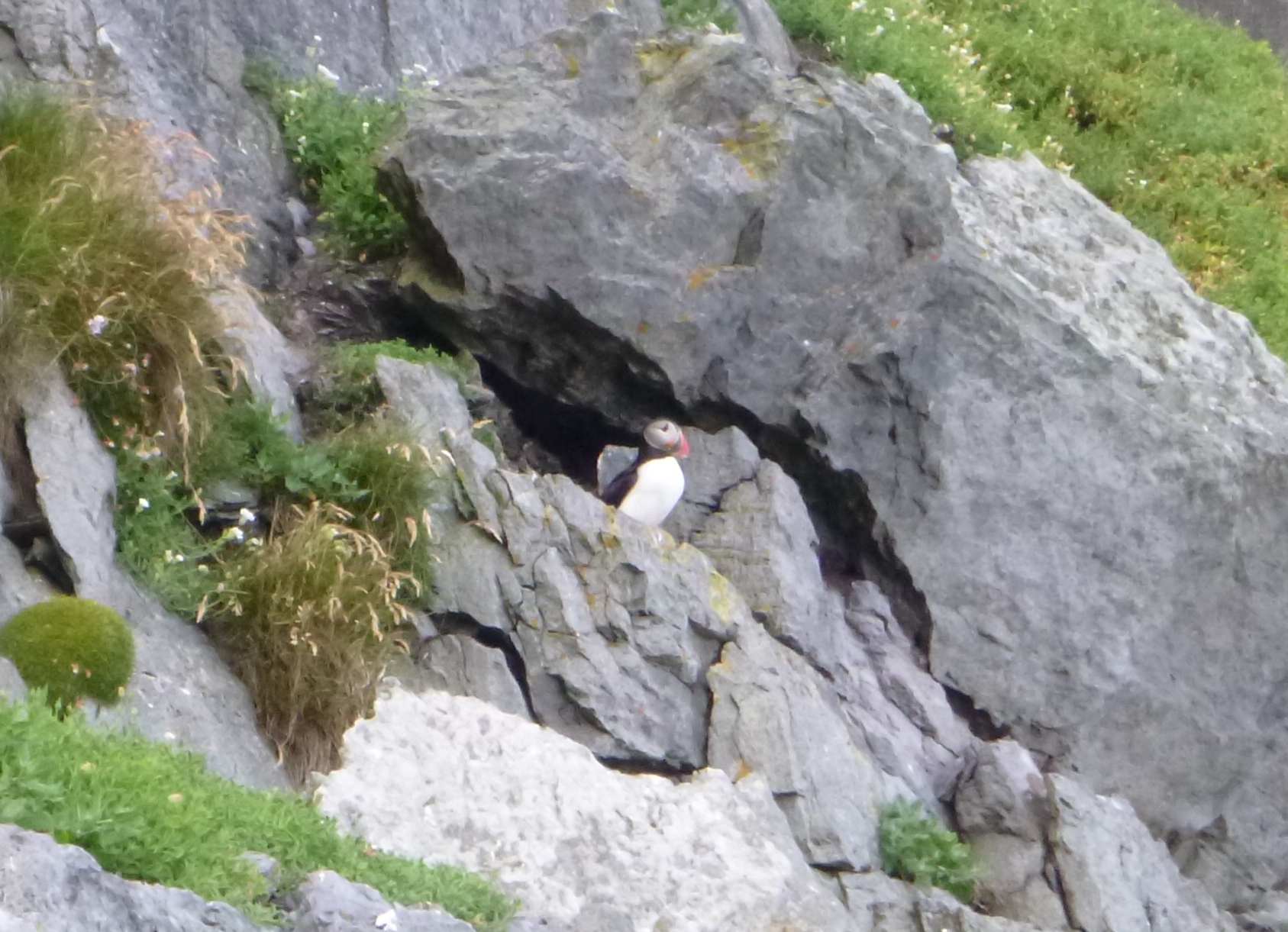
island was closed, so I just explored the lower part -- looking for
puffins (they had mostly departed but I found one to photograph).
Decide to head in to Port Magee for the night since it has
reasonable restaurants. The fog was coming down as I came in and the
current made berthing alongside a FV on the pier (at 8pm) a bit tricky.
Great Skellig: view with monks cells on shoulder at left, boat landing, rock.
 |
 |
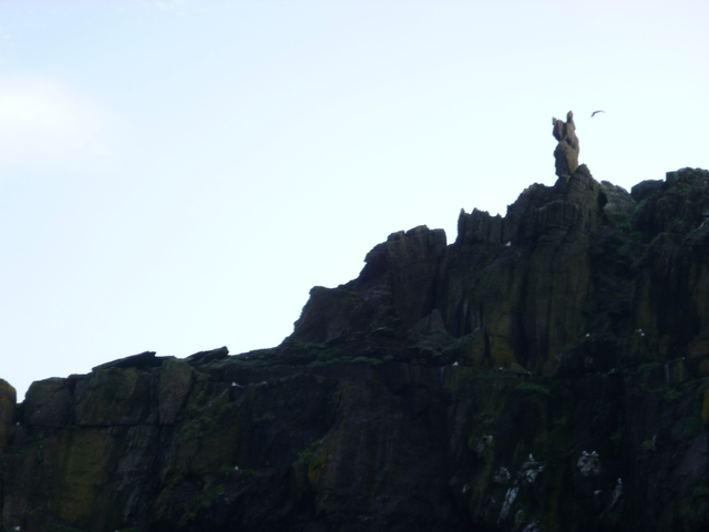 |
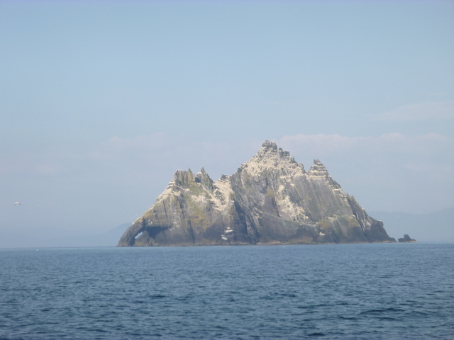
Great Skellig: puffin; Little Skellig: gannets galore.
 |
 |
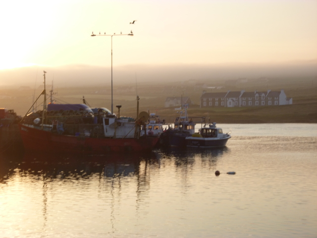
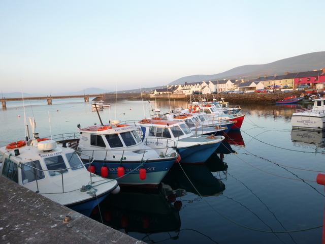
Port Magee. Pier and fleet of boats taking trippers to the Skelligs.
 |
 |
Thursday 11 July: The FV inside me planned to leave at 5am which
suited me -- except that there was thick fog. As the first part involved
a narrow channel with mooring buoys, I accepted his offer to lead me out.
As soon as the channel got wider, radar plus chart plotter was enough to
navigate. By 6.30am, the fog had lifted enough to see comfortably.
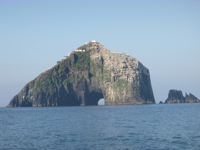
Pass Bull Rock (with the tunnel through it) and its associated rocks.
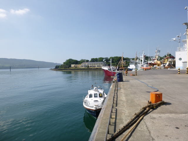
Decide to go to Castletownbere for fuel. This
is a major fishing port. I called the harbour master who directed
me to an alongside berth and gave me the phone number of the
fisherman's cooperative. The receptionist quoted me for fuel delivered
at the berth by tanker and I went ashore to get the cash needed. Then I
got a call saying the delivery driver couldn't come until that evening.
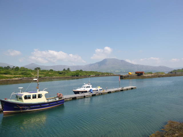
I had another option: to go to Lawrence Cove marina which has
a fuel berth. I arrived about 12.00 to find a sign on the marina office
saying "closed until 2". I waited until 2 and then topped my tank from my
remaining cans and set off without having taken any fuel on board. I had
circumnavigated Bere ("ere" pronounced as in "there") Island.
Bull Rock; Castletownbere, Lawrence Cove Marina (Bere Island).
 |
 |
 |
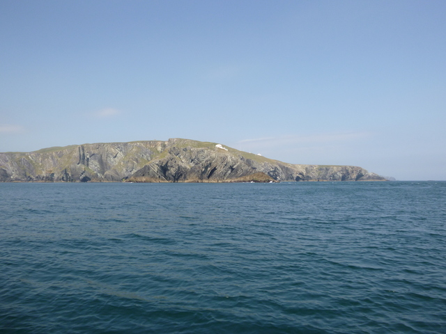
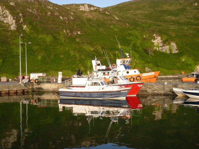
Head past Sheeps Head to North Harbour on Cape Clear Island. This is a tiny harbour with not much depth, but I found a spot outside a FV. It is a charming place and I enjoyed a meal, drink and walk.
Sheeps Head; Clear Island harbour.
 |
 |
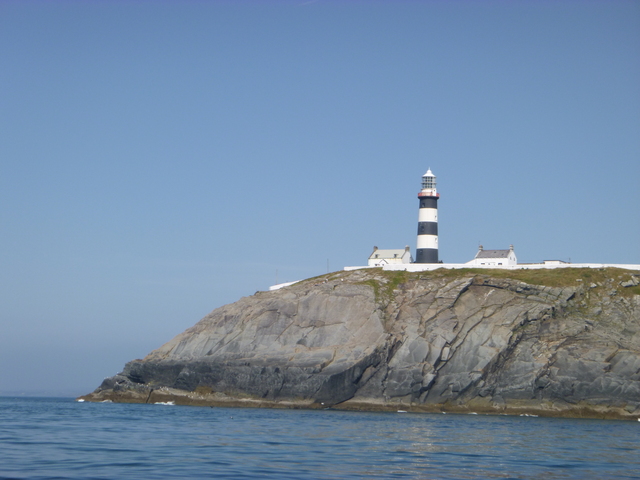
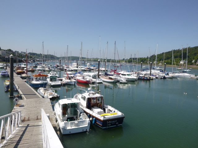
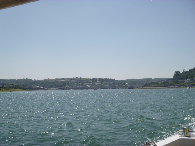
Friday 12 July: set off at 5am and pass round Cape Clear. I could (just) see Fastnet Rock in the distance -- and its powerful lighthouse was very visible. Pass Old Head of Kinsale. An hour after I passed the headland, I heard the Coast Guard calling for boats to investigate a reported upturned boat. Later radio messages reported that it was the carcass of a whale. I then headed in to Crosshaven for fuel: Crosshaven boatyard marina fuel berth by 1.35pm. Grab a sandwhich in a nearby shop and set off again at 2.50pm. Keep heading east (pass Ballycotton Head, Mine Head) and decide to keep going until I reached Dunmore East (at 10.30 in failing light) where I took up a mooring. I was surprised by thumping music from a disco on shore, but it finished soon.
Kinsale lighthouse, Crosshaven (marina and view)
 |
 |
 |
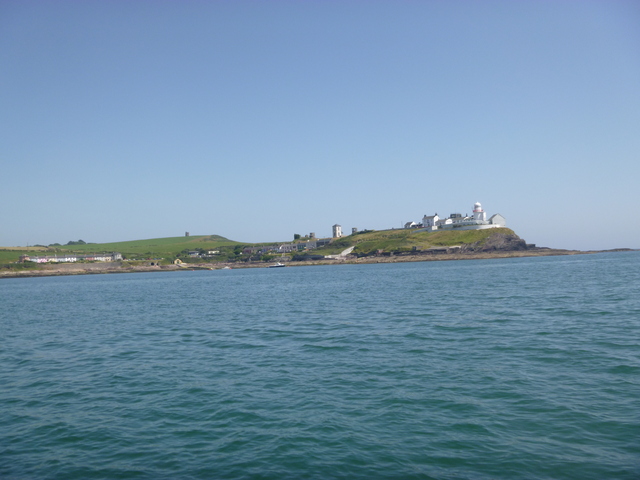
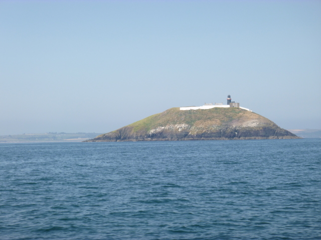
Roches Point lighthouse, Ballycotton lighthouse.
 |
 |
Saturday 13 July: set off 4.30am when there was enough light to see pot buoys. Pass Hook Head and then south of Great Saltee (and north of Coningmore Rock). Take the inshore passage around Carnsore Point and head past Tuskar Rock (at 9am). Head for North Wales. Quite a choppy sea with northerly wind. Hear lots of Coast Guard radio messages about boats in distress around the coasts -- fine weather had brought out everyone but it was quite lumpy at sea.
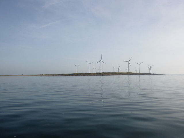
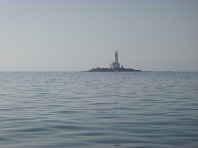
Carnsore Point (flat with wind farm); Tuskar Rock.
 |
 |
Decide to make for Caernarfon since I could take shelter near
Llanddwyn Island if necessary. Arrive at Caernarfon Bar at 8.30pm.
Local LW was around 7.30pm so the tide was making. Although advice is
to cross Caernarfon Bar within local HW-3 to HW+3, I draw less than 1
metre and can take the ground, so in I went. The buoys have been moved
since 2012 and are quite small, so difficult to see and not very
prominent on radar. See Bar info.
With a favourable current of 1 knot, I proceeded in and through
the Menai Straits. The wreck of the Grampian Castle was dry and mussel
patch was awash. I had less than 2 metres under my keel near C10 and
also near C14. As I approached the Swellies, the current picked up
quickly to 5 knots. It was calm and with enough light to see the marks.
Near Swelly Rock, there was "boiling water" but I have enough power to
keep on course. Pick up a mooring at Menai Bridge at 10pm.
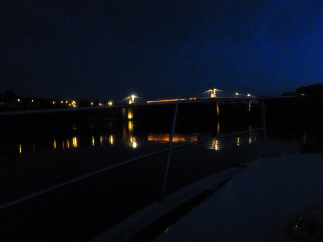
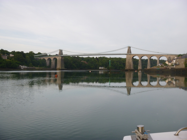
View from my mooring at Menai Bridge (night and day).
 |
 |
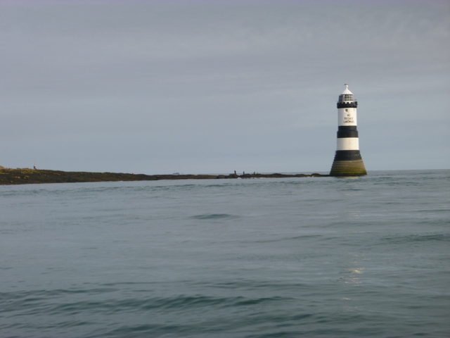
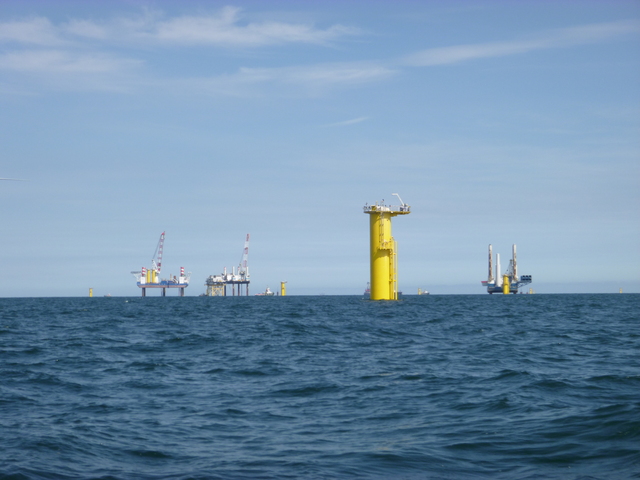
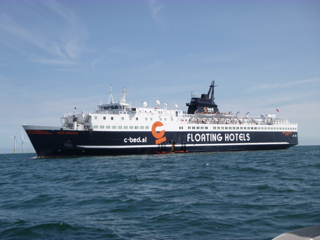
Sunday 14 July: Leave Menai Bridge at 7am with favourable current. Proceed past Trwyn Du: "No passage landward" on lighthouse and one could see why. Tow a mackerel trace (using a paravane) for a while until enough fish were caught. Then pass south of Gwynt y Mor windfarm (under construction), pass floating hotel and the north of Hoyle windfarm. Arrive off Liverpool marina at 2.10 and lock in to my berth.
Trwyn Du lighthouse (message "no passage to landward" is obvious at LW); Construction at Gwynt y Mor wind farm; floating hotel
 |
 |
 |
Cruising "retirement home" World at Liverpool.
 |
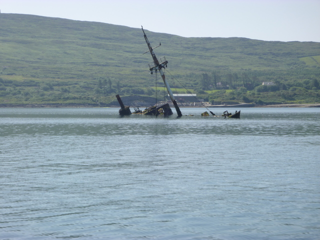
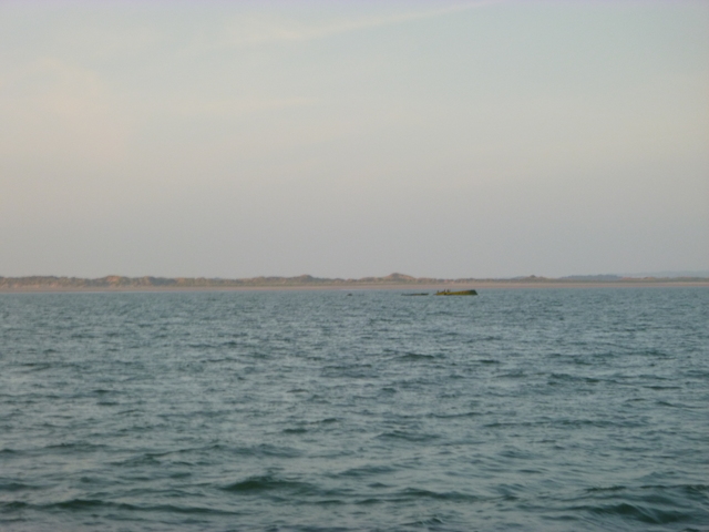
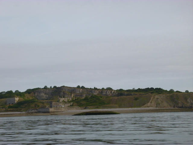
Some shipwrecks seen en route: Bardini Reefer (Bere Island Sound); Grampian Castle (Caernarfon Bar); Hoveringham (Menai near Penmon)
 |
 |
 |
Total 10 days, 128 engine hours and 153 (ouch) gallons. Total distance run must have been about 900 miles. High pressure throughout, though some fog banks and some brisk sea breezes at times. Swell was 2.5 metres decreasing to less than 1 metre as I made my way round the Atlantic coast.
Pot buoys are a big problem: they are not always easy to see and sometimes have floating line near them. Mitchell boats have a "weed box" - a section of the hull above the propellor that can be removed. In fairly calm weather, this allows to inspect the stern gear and even to cut off rope by reaching down with a knife. This is a useful safety feature - which I made use of twice on this trip.
If higher resolution versions of the above images are wanted, please contact me. All information given in good faith, but please do not rely on it.
Back to index here