I mainly use tides favourably (this helps a lot) and motor at my displacement speed (5 to 7 knots). It is a lot of effort to get my dinghy out from under the deck, inflate it and launch it - so I prefer to dry out to go ashore where feasible.
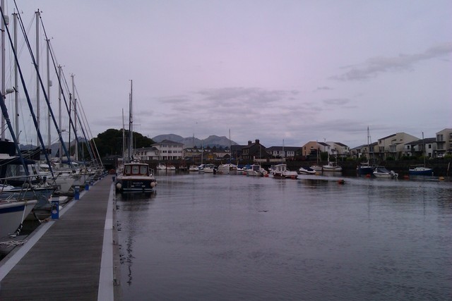
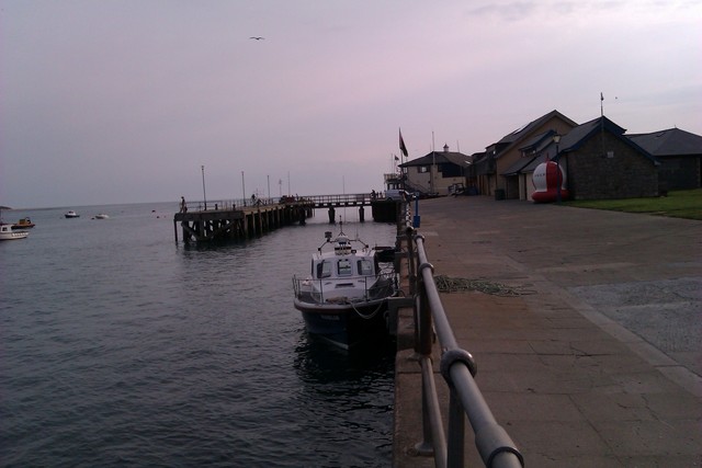
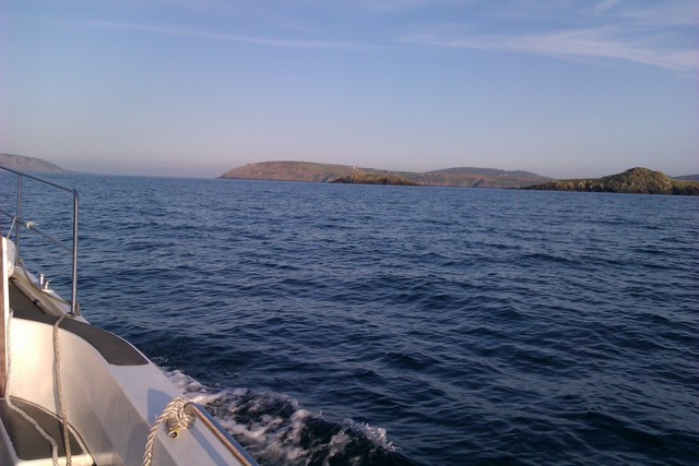
Sun. 10 July: Leave Liverpool Marina 7.53pm. Quite choppy with waves from NW. Anchor 01.15am to S of Puffin Island. Anchorage 53 19.10N 4 1.86 W. Tidal range 15ft so anchor in 16ft under keel. Birds a bit noisy in morning.
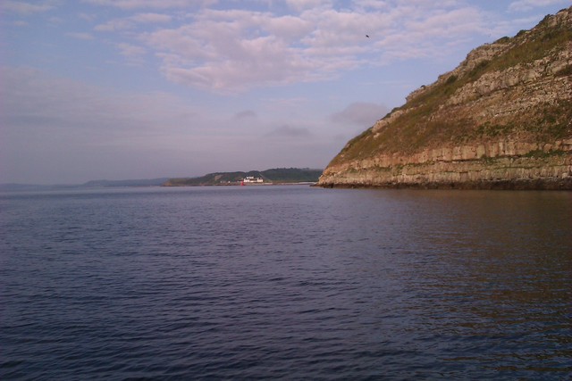
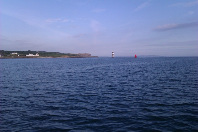
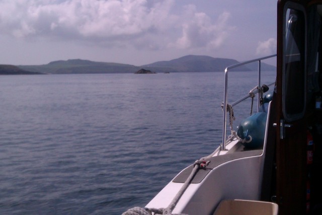
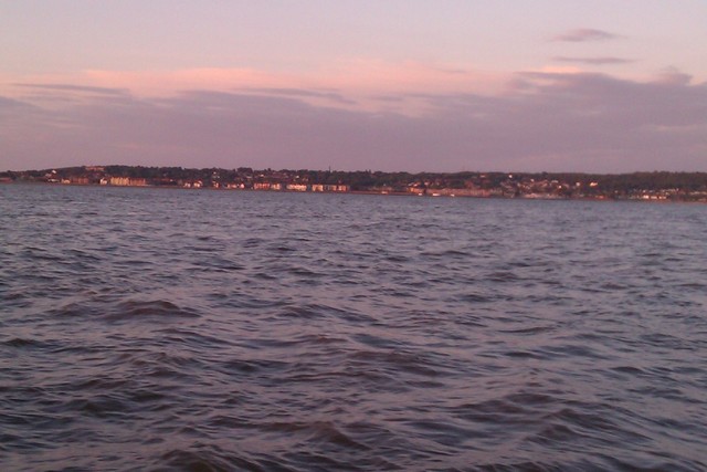
View of Puffin Island from the anchorage, Trwyn Du, Menai Bridge.
| |
|
|
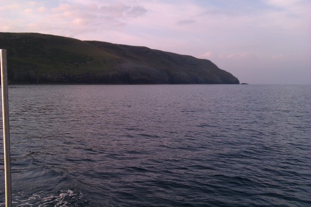
Mon. 11 July: 7.20am: leave Puffin Island and proceed into Menai straits. Passage through the Swellies is recommended at HW slack (HW Liverpool - 2 hours). I am familiar with the passage and have a boat with enough power to counteract the swirling current in the narrows. So I decided to go with the flow (HW Liverpool +30 minutes) with favourable currents of 4-5 knots under the bridges. I was at Abermenai point by 9.20 and crossed Caernarfon Bar by 9.40 with plenty of depth (and very slight wind).
See Caernarfon Bar chart here .
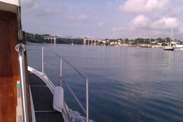
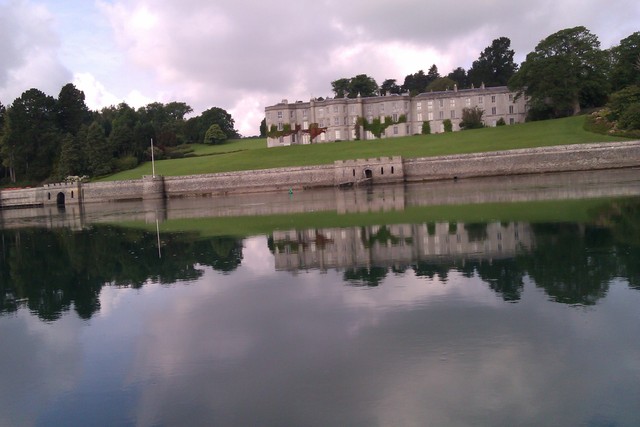
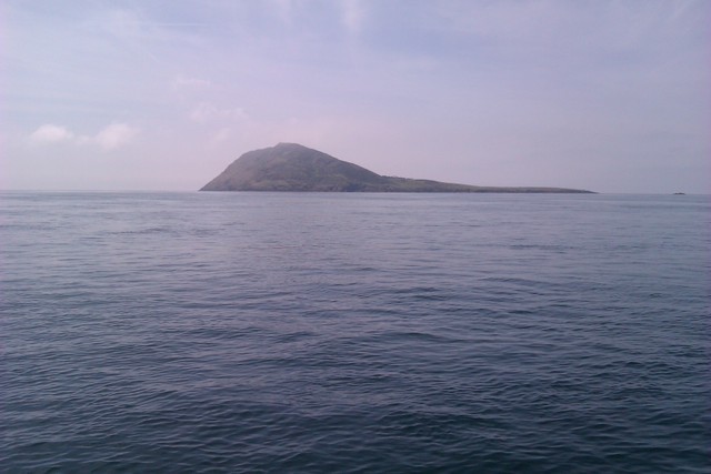
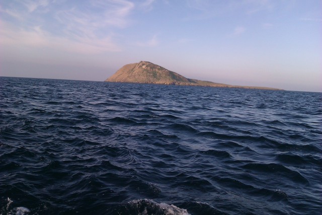
Plas Newydd (in Menai Straits), Maen Mellt (rocky island on N coast of LLeyn), Bardsey Island
 |
 |
 |
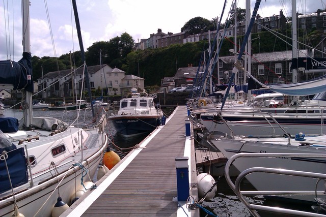
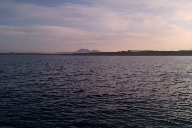
Reached Bardsey Sound 12.26 and was out of the SE end of the Sound at 12.40. Favourable current about 2.5 knots max. Continue along South coast of Lleyn towards Porthmadog. Reach Fairway buoy at 3.34pm and decide to enter (neap tide, local HW-2.5). Well buoyed in outer reaches but a bit trickier near moorings to find best route. I had a minimum of 4ft under my keel with 1 knot of favourable current. Reached Porthmadog harbour at 4.00pm. I had intended to dry out on the wall near the harbour master's office, but was surprised to discover pontoon berths in the harbour. Madoc Yacht Club are responsible and a helpful member (thanks Brian) suggested a spot on the outside where I could berth overnight. With my draft (less than 1 metre) and a neap tide, this berth would not dry. The Yacht Club has a Thai restaurant serving food - with service from two Welsh girls wearing Thai dresses. The Ship Inn provided excellent beer. See Madog Yacht Club info .
The harbour master regularly updates the information on the latest position of the buoys in the channel into Porthmadog. The latest version is available from him - but not by internet. One example illustrated on-line is dated 6-6-2011. Versions (which show the layout but not the current positions) are on the web: for example: here [link dead] or here or here.The some slightly more up to date information, which includes the pontoons and the buoys in the approach channel, is on the "community layer" of the Navionics charts available for smart phones.
Rocky island Carreg Ddu in Bardsey Sound, 2 views of visitors side of pontoon at Porthmadog
 |
 |
 |
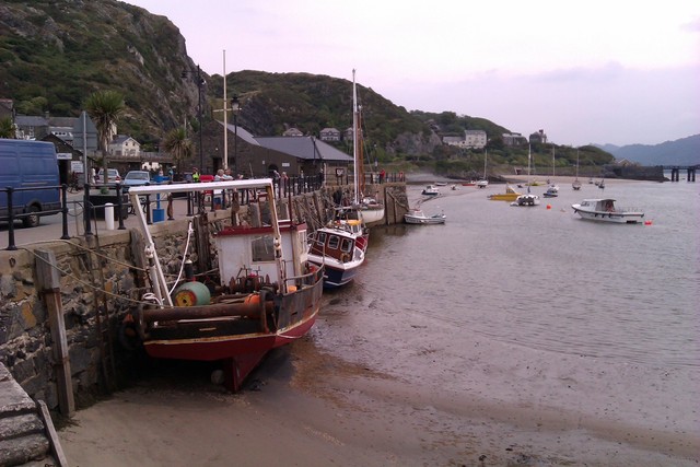
Tue 12 July: Leave Porthmadog 5.30am - find at least 7ft under my keel on the way out. Cross Mochdras spit (inner end of Sarn Badrig) to Barmouth reaching channel entrance by 7.39 (local HW + 1). Note that the charted "perch" is no longer present - the pile of rocks from an unsuccessful attempt to build a lighthouse are still in place. There was a vacant spot on the quay and I tied up there. I was advised that the wall dried, but my boat can cope - though since the bottom slopes out, the angle it settled on was a bit crazy.
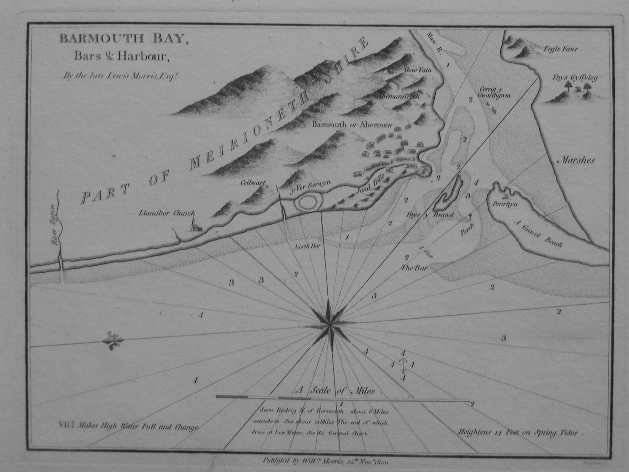
See Merioneth Yacht Club info and Barmouth info. Here the 1800 reprint of the 1748 chart of Barmouth. Note the perch was not shown in the 1748 chart.
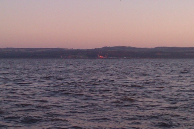
Barmouth Quay with vessels dry (2 views) and looking up the estuary from Barmouth
 |
 |
 |
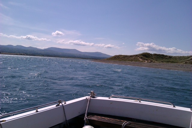
Decide to move on at the next HW slot. Leave Barmouth when afloat at 4.20pm. The channel out was straightforward (local HW-2.5) since I had had the opportunity to look around at LW. Proceed southerly across Sarn y Bwch near local HW to enter Aberdyfi at 6.05pm (local HW-1). Tie up at the solid quay with 8ft under my keel. The outer quay (piling) has a sign restricting it to loading/unloading. Into town for a feed and beer.
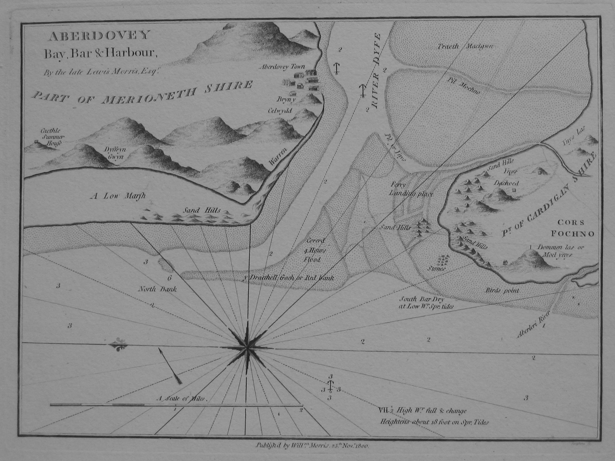
See Aberdyfi info. Here the 1800 reprint of the 1748 chart of Aberdyfi.
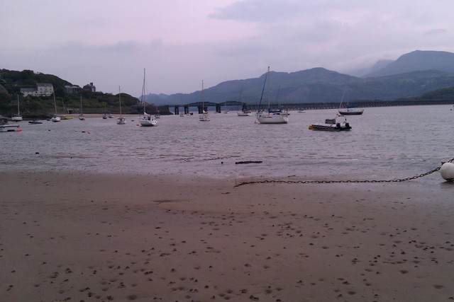
Decide to press on to make use of favourable tides. Leave Aberdyfi 7.15pm (14ft minimum under my keel on bar). Since wind was NE and had been blowing for a while (force 3), there was a bit of chop so I decided to head to Porth Neigwl to anchor for the night. This could be reached by crossing the westerly end of Sarn Badrig (Causeway) where there was enough water for me.
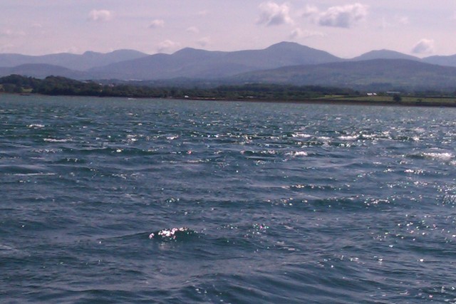
Aberdyfi Quay, Views each way from the anchorage in Hell's Mouth
 |
 |
 |
As I neared my destination, light was failing and I made contact with a small black pot buoy. There are a lot of pot buoys about in N Cardigan Bay and off the Lleyn. A quick inspection of the stern gear (Mitchell boats have a "weed box" which is easily removed so one can see the stern gear) revealed no damage, so I pressed on. Anchored at NE end of Porth Neigwl in 20ft at 11.00pm: 52 47.835N 4 32.503W. I was surprised that there was a noticeable (0.5 knot) current in this corner of the bay. Porth Neigwl is known in English as Hell's Mouth since it faces SW and many sailing ships have been driven ashore there. In a settled NE wind it seemed a good idea: and I slept well.
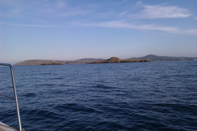
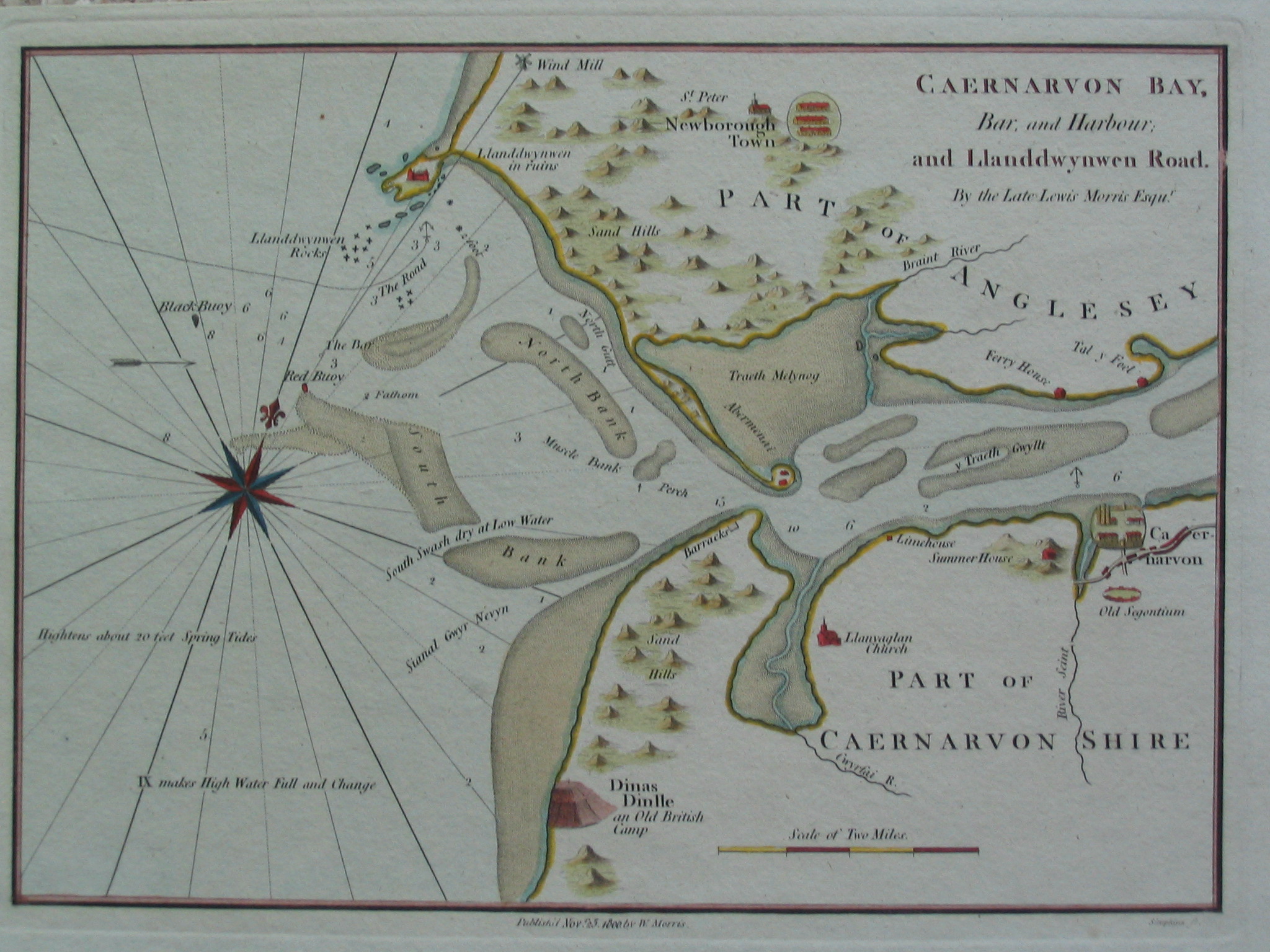
Leave anchorage 6.08am and head for Bardsey Sound. (Current would be favourable HW Dover +5 to -1). Enter Bardsey Sound 7.15, maximum current 5 knots, favourable direction. Sea state calm. After rounding the tip of the Lleyn peninsula, the NE wind (force 3) had built up waves and the current was against the tide, steepening them. Decide to go through the Menai again to avoid possible nasty seas around the Stacks and Carmel Head. After offering help to a small boat with engine problems off Trefor, enter Caernarfon Bar 10.20am against the ebbing tide (up to 3.5 knots against me in places). Proceed to anchor behind Abermenai point 53 7.802N 4 19.735W in 24ft at 11.00am.
Here the 1748 chart of Caernarfon bar and Abermenai.
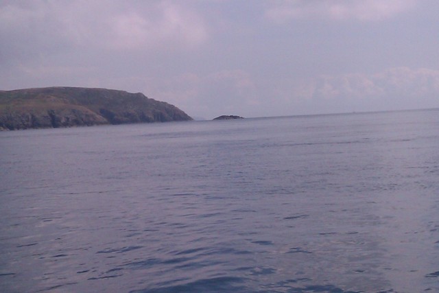
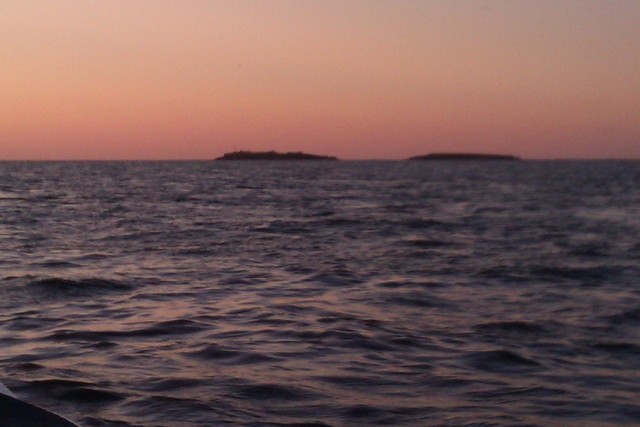
Ynys Gwylan Fawr and Bach off Aberdaron, Bardsey Sound, Bardsey Island
 |
 |
 |
2 views from anchorage at Abermenai Point.
 |
 |
The earliest possibility to get through the Menai Straits without excessive adverse current was to leave Abermenai at HW Liverpool+4 and go through the Swellies at LW slack. I left at 2.00pm and had an adverse current of 1-2 knots until Port Dinorwic. Since it was close to local LW, the depth was only 5ft under my keel in places. Through the Swellies at 3.18 to 3.25 with 8ft minimum. Emerge at Trwyn Du 4.25pm - so only 3.5 hours to get through from Abermenai to Trwyn Du,
See NWVYC Menai Straits tide info . and hereDecide that I would most probably not reach Liverpool marina in time (10pm) for last lock operation, so head to anchor in the Dee (my home patch since I live overlooking it). Through the Welsh Channel, then Salisbury Middle, West Bar, Dee 1 buoys to find an anchorage in the deep water off West Kirby. Anchor somewhat south of local buoy "Seldom Seen" at 53 21.56N 3 12.895W in 23ft at 8.35pm. Wind was N force 3 so near HW there was a choppy sea. After the tide fell, the sandbanks offered more protection. Wind NW later.
Views from the anchorage in the Dee of West Kirby, Mostyn and Hilbre Islands .
 |
 |
 |
Thursday 14 July. Leave anchorage 7.25am and head for HE4 then HE3 buoys in Hilbre Swash. Wind NW 3 - sea choppy in Hilbre Swash but then less. Cross the East Hoyle spit towards Meols buoy (aka "sewer") and then into Rock Channel to the Mersey. Off the marina at 9.38am.
If higher resolution versions of the above images are wanted, please contact me. All information given in good faith, but please do not rely on it.
Back to index here