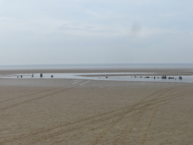
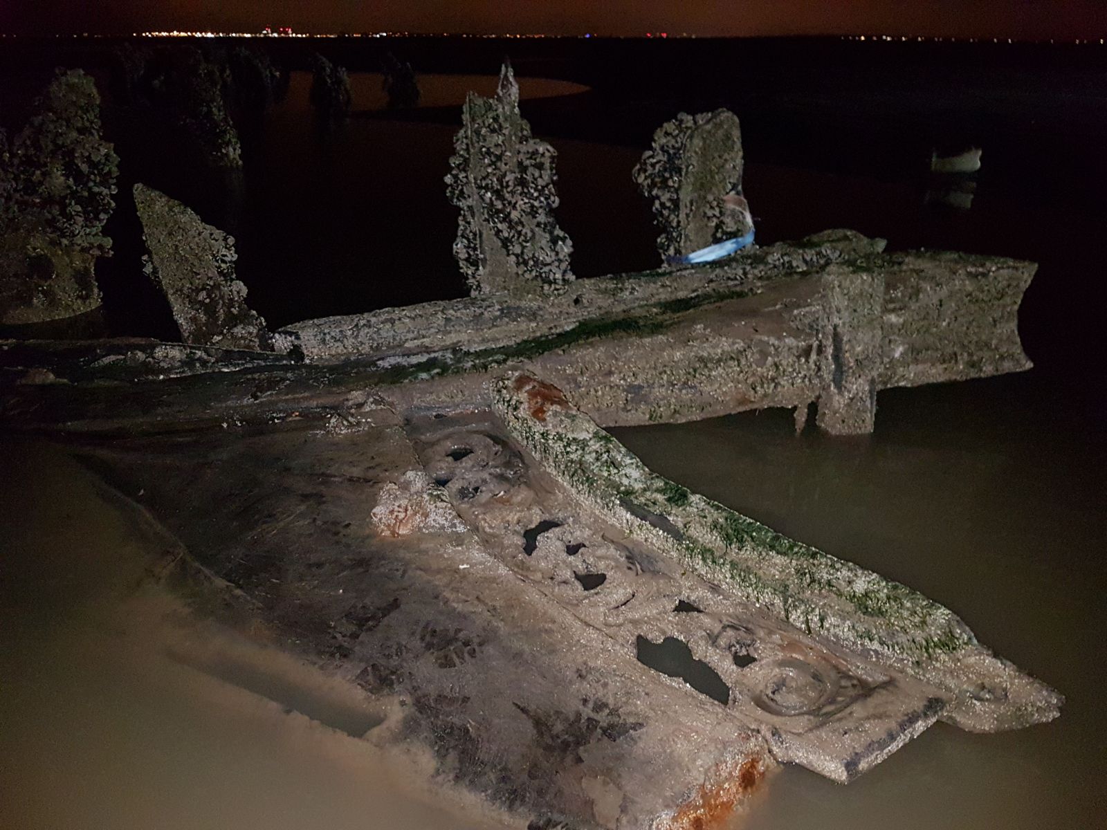
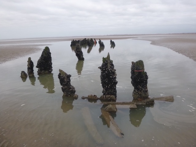
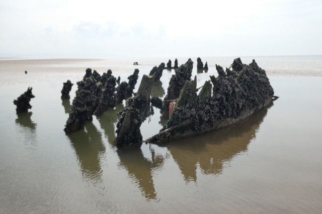
This wreck, which lies about a mile off the Hoylake Lifeboat Station, started to appear as the East Hoyle Bank level receded in the last decade. It lies approximately ENE-WSW and is about 90 ft long. It lies in a scour pool and parts stick about 3 ft above the surrounding sand. Some of the wood has quite ornate carving. It is several metres above CD [seabed 3.1m and top of wreck about 4m] - so accessible on foot at low water [take care of muddy patches]. The wreck site has been marked by small plastic buoys by the Hoylake LB team.
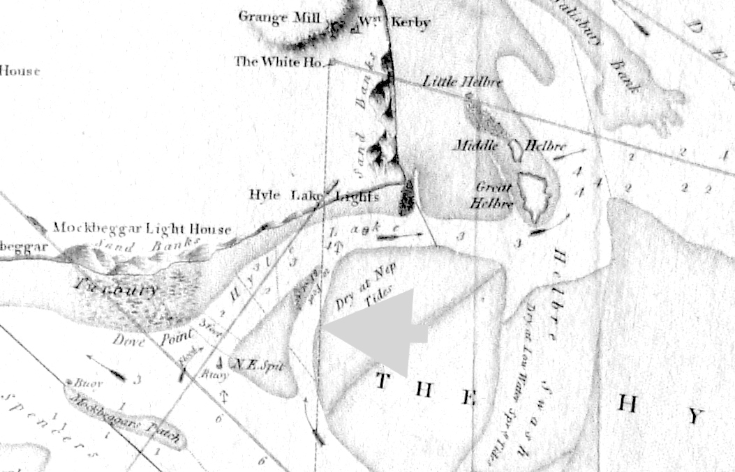
This location was on the offshore side of the Hoyle Lake before the Hoyle Lake filled in in the mid 1800s. This part of the East Hoyle Bank was also called Spencer's Spit. There were plenty of wooden vessels lost on the East Hoyle Bank and, if the Hoyle Lake was deep at the date of loss, it is plausible that the wood of the vessel would not have been salvaged. Before 1862, the MDHB (Liverpool Dock Board) did not systematically log wrecks.
This location was last surveyed by MDHB in 1976-8 when the sand was at a height of about 7m above CD - so covering the wreck. When I visited this area in 1991 on foot there was no sign of the wreck (so sand level more than 4m above CD). As the photos (below), show it was about 1ft above the sand in 2010 and is now (2019) about 3ft above (sand level 3.1m above CD). In 2020 the wreck covered an area 38m by 8m.
Some candidate wrecks found from the Hoylake Lifeboat records are listed. None of them seem a strong candidate.
Other possibilities are:
Daniel, brigantine lost
1885, reported position is somewhat further offshore.
Norah, brig reported as sunk 1835
with part of wreckage near East Hoyle Bank [promising?].
Another known wreck on Hoylake Beach:
Position 53°24.05N, 3°12.034W. This is marked as a wreck on the chart.
See here;
remains of a wooden barge were reported in 2005 as extending 16x4metres
and as sticking out 0.3m from the beach in location drying 8m.
The only source for older wrecks is from contemporary newspapers - and they rarely give an accurate location.
Images of wreck [2010, 2017, 2019, 2020]:


Location of wreck shown on 1800 chart (by William Morris; not north up):
